Tunnel Campground
Campground
Campground · 1.1 mi from the trail
 Photo: Tony Webster, CC BY 2.0 (via Flickr)
Alert in the area
The Forest Service lists 4 alerts for Canyon Lakes Ranger District.
Salt Cabin Prescribed (RX) Fire Closure
Agency alert covering Canyon Lakes Ranger District · Order 02-10-05-26-11 · USFS · Canyon Lakes Ranger District
Fire Restrictions
Agency alert covering Arapaho and Roosevelt National Forests · USFS · Arapaho and Roosevelt National Forests
West Crystal A - Mechanical Fuelbreak Area and Road Closure
Agency alert covering Canyon Lakes Ranger District · Order 02-10-05-26-04 · USFS · Canyon Lakes Ranger District
Cameron Peak Fire Road Closures
Agency alert covering Canyon Lakes Ranger District · Order 02-10-05-26-01 · USFS · Canyon Lakes Ranger District
As of · Source: USFS · Canyon Lakes Ranger District. Agencies don't list every closure — check before you go.
West Branch is a 13.55-mile out-and-back trail in Colorado managed by Arapaho and Roosevelt National Forests. The route gains 2,558 feet of elevation and reaches a maximum elevation of 11,117 feet.
Tunnel Campground
Campground
Homestead Museum
Museum
Places © OpenStreetMap contributors
More in Red Feather LakesNot on Roamze yet. Their page has how to reach them.
Best months: June and September. Best months have typical highs of 55–85 °F, lows of 30 °F or warmer (32 °F where the station doesn't record snow), at most one snowy day and no more than 12 wet days.
Jan
31° / 11°
9 wet
Feb
33° / 10°
9 wet
Mar
40° / 15°
10 wet
Apr
45° / 20°
10 wet
May
55° / 28°
10 wet
Jun
68° / 36°
10 wet
Jul
74° / 43°
13 wet
Aug
72° / 41°
14 wet
Sep
65° / 34°
10 wet
Oct
51° / 25°
8 wet
Nov
39° / 18°
9 wet
Dec
31° / 11°
9 wet
Typical high / low (°F) and days with rain or snow, 1991–2020. Measured at Hourglass Rsvr, CO, 14.2 mi away at 9,520 ft. The station sits about 1,600 ft lower than this place, so expect it a little cooler here. This station doesn't record snowfall. Source: NOAA NCEI U.S. Climate Normals 1991–2020.
Photo: Tony Webster, CC BY 2.0 (via Flickr)Laramie River Trail
~2 min drive
4.65-mile trail along the Laramie River in Colorado with 400 ft of elevation gain.
 Photo: Ken Lund from Reno, Nevada, USA, CC BY-SA 2.0 (via Wikimedia Commons)
Green Ridge Trail
~6 min drive
12.57-mile trail in Colorado with 3,200 ft of elevation gain and 10,800 ft max elevation.
HIKE
Camp Lake Loop
~4 min drive
4.34-mile out-and-back trail in Colorado with 67 ft of elevation gain.
Photo: Ken Lund from Reno, Nevada, USA, CC BY-SA 2.0 (via Wikimedia Commons)Twin Lakes Trail
~7 min drive
1.36-mile out-and-back hike to twin lakes in Colorado with 200 ft of elevation gain.
HIKE
Rawah Trail
~3 min drive
26 mi · Hard
HIKE
Mcintyre Lake
~9 min drive
3.38-mile out-and-back trail to Mcintyre Lake in Colorado.
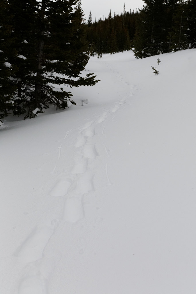 Photo: KimonBerlin, CC BY-SA 2.0 (via Flickr)
Sawmill Snow Trail
~10 min drive
0.68-mile out-and-back hike in Colorado with 169 ft elevation gain.
HIKE
Blue Lake Trail
~6 min drive
4.58-mile out-and-back hike in Colorado with 1,800 ft elevation gain.
HIKE
Chambers Lake
~9 min drive
3.09-mile out-and-back trail to Chambers Lake in Colorado.
 Photo: Ken Lund from Reno, Nevada, USA, CC BY-SA 2.0 (via Wikimedia Commons)
Hidden Valley Trail
~10 min drive
1.03-mile out-and-back hike in Colorado with 300 ft of elevation gain.
