Cebolla
- 14.4 mi
- one way
- 2,471 ft
- climb
- 11,732 ft
- high point
- Point to point
- route
Caution at last check
Agency alerts are in effect for this area; weather is good · USFS, OpenWeather · checked 23 h ago
Is Cebolla open right now?
Closure in the area
There's a closure order in Grand Mesa, Uncompahgre and Gunnison National Forests. It doesn't name Cebolla, so check the source for the area it covers (2 listed).
Gold Mountain Wildfire Roads and Trails Closure Order v 4.0
Agency closure covering Grand Mesa, Uncompahgre and Gunnison National Forests · USFS · Grand Mesa, Uncompahgre and Gunnison National Forests
Ophir Pass Road Closure
Agency closure covering Grand Mesa, Uncompahgre and Gunnison National Forests · USFS · Grand Mesa, Uncompahgre and Gunnison National Forests
Potter Basin Road Closure Order
Agency alert covering Grand Mesa, Uncompahgre and Gunnison National Forests · USFS · Grand Mesa, Uncompahgre and Gunnison National Forests
Beaver Park Road Closure Order
Agency alert covering Grand Mesa, Uncompahgre and Gunnison National Forests · USFS · Grand Mesa, Uncompahgre and Gunnison National Forests
TERMINATION OF ORDER - FIRE RESTRICTIONS
Agency alert covering Grand Mesa, Uncompahgre and Gunnison National Forests · USFS · Grand Mesa, Uncompahgre and Gunnison National Forests
As of · Source: USFS · Grand Mesa, Uncompahgre and Gunnison National Forests. Agencies don't list every closure — check before you go.
Cebolla is a hard hike in Colorado's La Garita Wilderness, part of the Gunnison Ranger District of the Grand Mesa, Uncompahgre and Gunnison National Forests. The route is a point-to-point trail of about 14.4 miles, with a total elevation gain of 2,471 feet, from a low point of about 10,161 feet to a high of about 11,732 feet. The Forest Service manages the land, and the trail is open year-round. The trail is natural-surfaced and allows horses, but not bikes. The trip is estimated to take about six hours, and the Tumble Creek Trailhead is the parking for the route. The Skyline hike starts just 0.3 miles away, and Spring Creek Pass Snowmo/Ski is about 1.9 miles off. Deer Lakes Campground and Slumgullion Campground are both about 3 miles away.
Local outfitters
- Grizzly RT RV Park14 mi away
- Blue Creek Lodge25 mi away
Not on Roamze yet. Their page has how to reach them.
- SkylineHiking0.3 mi
- SPRING CREEK PASS SNOWMO/SKIHiking1.9 mi
- Deer Lakes CampgroundCamping3 mi
- CALF CREEK PLATEAUHiking3 mi
- Slumgullion CampgroundCamping3.2 mi
- Canyon Infierno TrailHiking3.4 mi
- Hidden Valley Tent CampgroundCamping4.5 mi
- North Clear CreekCanoeing9.3 mi
Source: Roamze catalog (indexable pages within 10 miles, PostGIS distance)
 Lake To Lake TrailHiking · ~12 min drivePhoto: JustTooLazy, CC BY 2.0 (via Flickr)
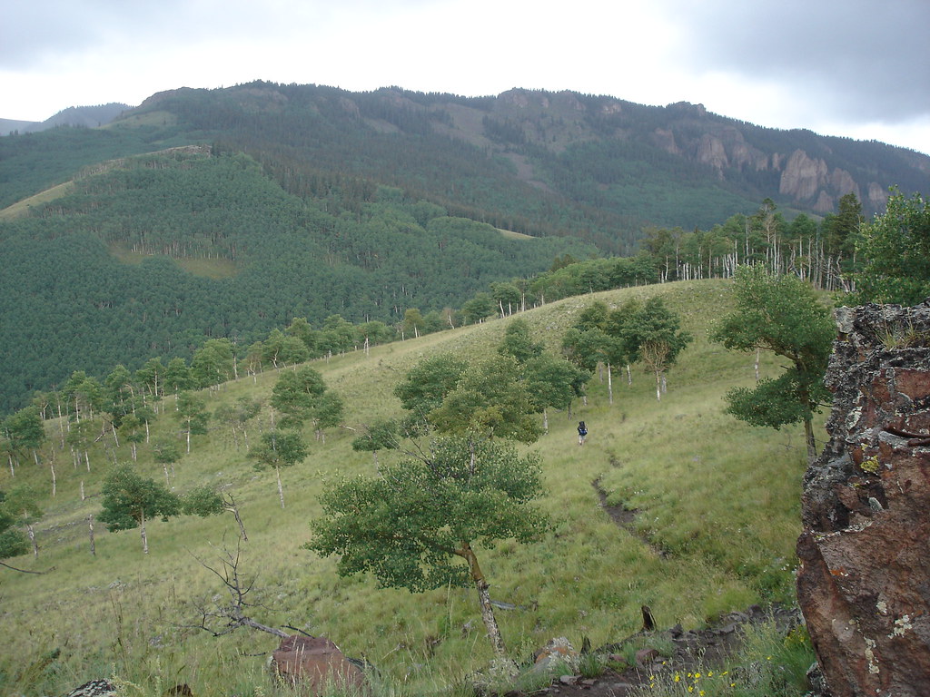 Independence GulchHiking · ~19 min drivePhoto: gregmote, CC BY 2.0 (via Flickr)
- CANYON INFIERNOHiking · ~10 min drive
- Cannibal Plateau TrailHiking · ~11 min drive
 So Cl Cr Falls NatureHiking · ~20 min drivePhoto: waterarchives, CC BY-SA 2.0 (via Flickr)
- Canyon Infierno TrailHiking · ~6 min drive
- Horse Park TrailHiking · ~12 min drive
- Baldy AltoHiking · ~19 min drive
- Independence BypassHiking · ~19 min drivePhoto: gregmote, CC BY 2.0 (via Flickr)
- Calf Creek Plateau TrailHiking · ~7 min drive

