Catkin Gulch Loop 6046
- 2.9 mi
- round trip
- 1,108 ft
- climb
- 8,634 ft
- high point
- Out and back
- route
- May–Sep
- best months
Catkin Gulch Loop 6046 is a 2.9-mile moderate hike on Bureau of Land Management land in Colorado's Royal Gorge Field Office, about 3 miles from the town of Buena Vista. The route is an out-and-back that starts and ends at about 8,172 feet, with a high point of 8,634 feet and a total climb of 1,108 feet. The steepest stretch comes at about 1.7 miles in, where the grade reaches 12 percent. Summer is the most comfortable time to go. Typical averages from a nearby weather station in Buena Vista show July highs around 83°F with lows near 49°F, while winter highs sit in the low 40s. That station sits roughly 700 feet lower than the trail's high point, so temperatures on the ridge run cooler. The hike takes about 2.5 hours. Turret Trail 6045 and the River Access Trail both lie within a mile, and Ruby Mountain Campground is about 3 miles away. Climbers can find Staircase Towers about 3 miles off.
Go with a guide
- Mineral Belt Trail Guided WalkNexPM AI · $25 per person · 39 mi away
- Mt. Princeton RV Park11 mi away
- Turret Trail 6045Hiking0.5 mi
- River Access TrailHiking0.6 mi
- River Bench Trail 6045AHiking1.9 mi
 Ruby Mountain CampgroundCampingPhoto: Roy Luck, CC BY 2.0 (via Wikimedia Commons)2.9 mi
- Chalk Creek Campground and RV ParkCampingPhoto: Roy Luck, CC BY 2.0 (via Wikimedia Commons)3.1 mi
- Staircase TowersRock climbing3.2 mi
- The Buena BoulderRock climbing3.3 mi
- Nathrop BlocksRock climbing3.3 mi
Source: Roamze catalog (indexable pages within 10 miles, PostGIS distance)
 Yansing (Chinaman) Gulch Trail 6043Hiking · ~10 min drivePhoto: Nholifield, CC BY 3.0 (via Wikimedia Commons)
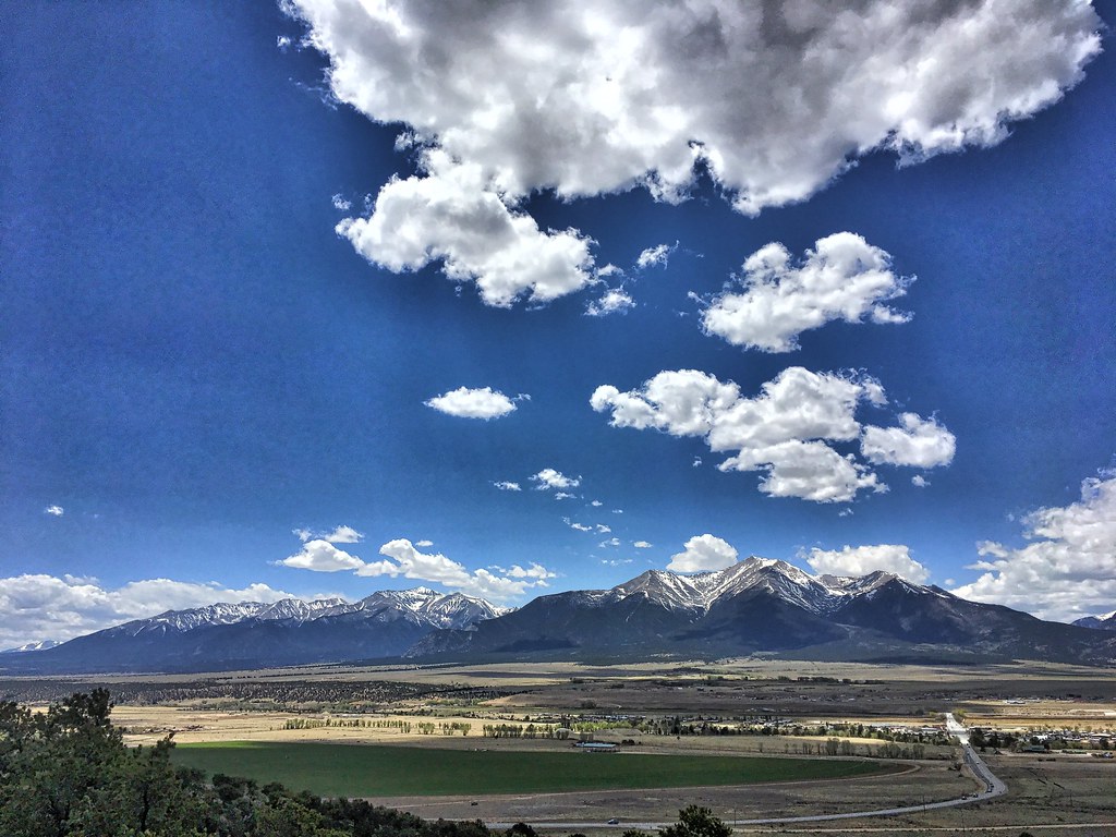 Crank n' Hammer TrailHiking · ~13 min drivePhoto: cogdogblog, Public Domain Dedication (CC0) (via Flickr)
 Mount PrincetonHiking · ~15 min drivePhoto: wohnai, CC BY 2.0 (via Flickr)
 Tigger PeakHiking · ~16 min drivePhoto: kalestews, CC BY 2.0 (via Flickr)
 Yansing (Chinaman) Gulch Loop Trail 6044Hiking · ~10 min drivePhoto: markbyzewski, CC BY 2.0 (via Flickr)
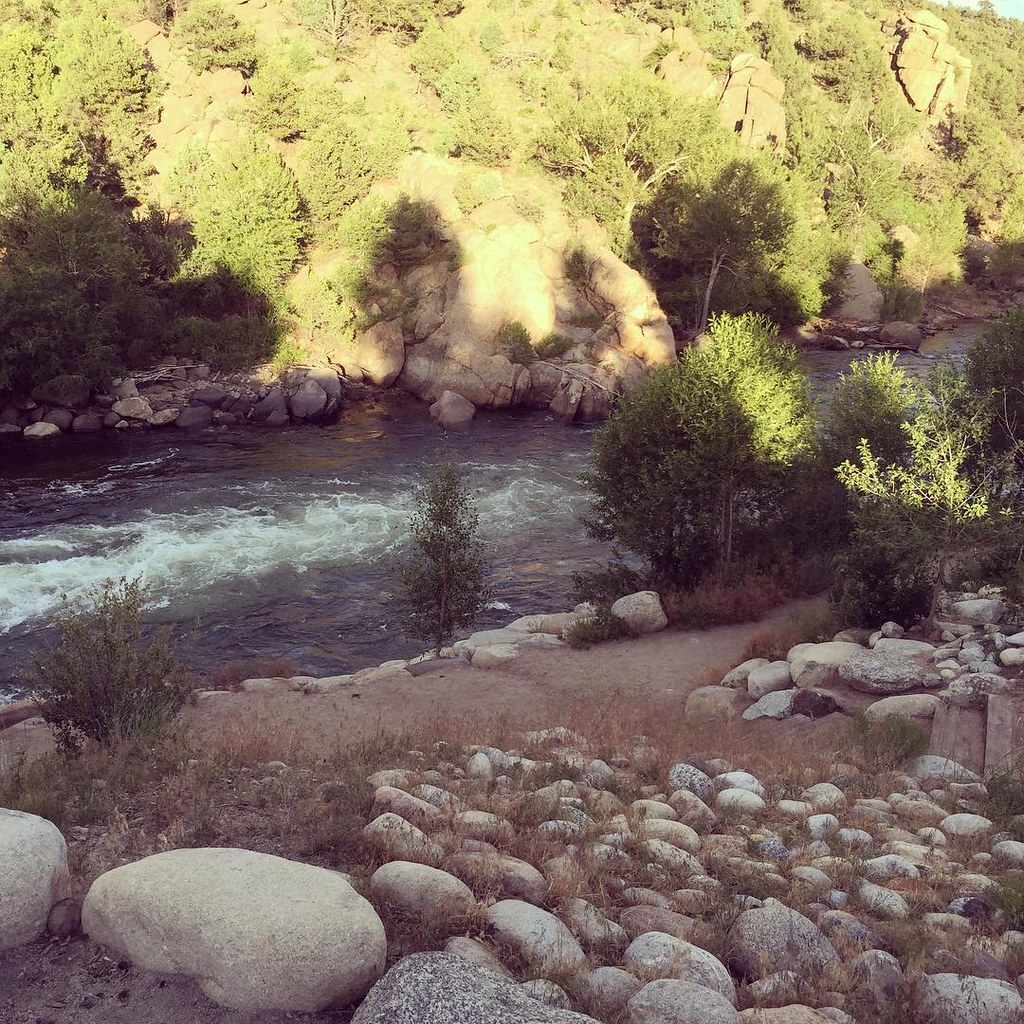 North TrailHiking · ~17 min drivePhoto: JenTravelsLife, CC BY 2.0 (via Flickr)
- Mount WhiteHiking · ~14 min drive
- Mt. PrincetonHiking · ~19 min drivePhoto: kalestews, CC BY 2.0 (via Flickr)
 Few Dollars More TrailHiking · ~12 min drivePhoto: markbyzewski, CC BY 2.0 (via Flickr)
- BALD MTN SPUR TRAILHiking · ~5 min drive
Best time to visit Catkin Gulch Loop 6046
Best months: May–September. Best months have typical highs of 55–85 °F, lows of 30 °F or warmer (32 °F where the station doesn't record snow), at most one snowy day and no more than 12 wet days.
Jan
41° / 11°
4 wet
Feb
43° / 14°
5 wet
Mar
50° / 21°
6 wet
Apr
56° / 27°
6 wet
May
67° / 36°
7 wet
Jun
78° / 43°
7 wet
Jul
83° / 49°
12 wet
Aug
80° / 47°
12 wet
Sep
74° / 40°
8 wet
Oct
62° / 29°
6 wet
Nov
50° / 20°
5 wet
Dec
40° / 11°
5 wet
Typical high / low (°F) and days with rain or snow, 1991–2020. Measured at Buena Vista 2s, CO, 8.6 mi away at 7,954 ft. The station sits about 700 ft lower than this place, so expect it a little cooler here. This station doesn't record snowfall. Source: NOAA NCEI U.S. Climate Normals 1991–2020.
Map and trail data © OpenStreetMap contributors
