Diamond Lake Campground
Campground
Campground · 4.3 mi from the trail
Alert in the area
The Forest Service lists 3 alerts for Arapaho and Roosevelt National Forests.
Fire Restrictions
Agency alert covering Arapaho and Roosevelt National Forests · USFS · Arapaho and Roosevelt National Forests
Fire Restrictions
Agency alert covering Sulphur Ranger District · USFS · Sulphur Ranger District
Permanent Recreational Shooting Order
Agency alert covering Sulphur Ranger District · Order 02-10-00-25-02 · USFS · Sulphur Ranger District
As of · Source: USFS · Arapaho and Roosevelt National Forests. Agencies don't list every closure — check before you go.
Caribou Pass is a moderate hike in the Sulphur Ranger District of the Arapaho and Roosevelt National Forests in Colorado. The loop route is about 4.3 miles long and gains roughly 1,794 feet in elevation, taking you from a low point of about 10,092 feet to a high point of about 12,113 feet. The Forest Service manages the land, and the trail has a natural surface, so it's suitable for horses. The Junco Lake Trailhead is the parking for this route, and the open season runs from June 1 to November 15. Plan for about 2.5 hours on the trail. Columbine Lake is just 0.4 miles away. New Don Wall, a climbing area, is about 1.4 miles off, and the Grassy Area Junco Ttrailhead hike lies about 1.6 miles away. Arapaho Bay Campground is about 6.7 miles from the pass.
Diamond Lake Campground
Campground
Heck's Tavern
Pub
 If it rainsMatt Golon, CC BY-SA 3.0 · Wikimedia Commons
Places © OpenStreetMap contributors · Photos: Matt Golon, CC BY-SA 3.0 (commons)
More in Idaho SpringsNot on Roamze yet. Their page has how to reach them.
Source: Roamze catalog (indexable pages within 10 miles, PostGIS distance)
 Diamond Lake TrailHiking · ~7 min drivePhoto: Greg Willis, CC BY-SA 3.0 (via Wikimedia Commons)
 North Arapaho PeakHiking · ~9 min drivePhoto: Greg Willis, CC BY-SA 3.0 (via Wikimedia Commons)
 Pawnee PassHiking · ~9 min drivePhoto: Steven Bratman, CC BY 2.0 (via Wikimedia Commons)
 Ridge RunnerHiking · ~10 min drivePhoto: neverbutterfly, CC BY 2.0 (via Flickr)
 DIAMOND LAKEHiking · ~9 min drivePhoto: Greg Willis, CC BY-SA 3.0 (via Wikimedia Commons)Old BaldyHiking · ~9 min drivePhoto: Greg Willis, CC BY-SA 3.0 (via Wikimedia Commons)
 Isabelle GlacierHiking · ~10 min drivePhoto: Ben Makuh, CC BY-SA 2.0 (via Flickr)Lower Fruit LoopHiking · ~11 min drivePhoto: neverbutterfly, CC BY 2.0 (via Flickr)
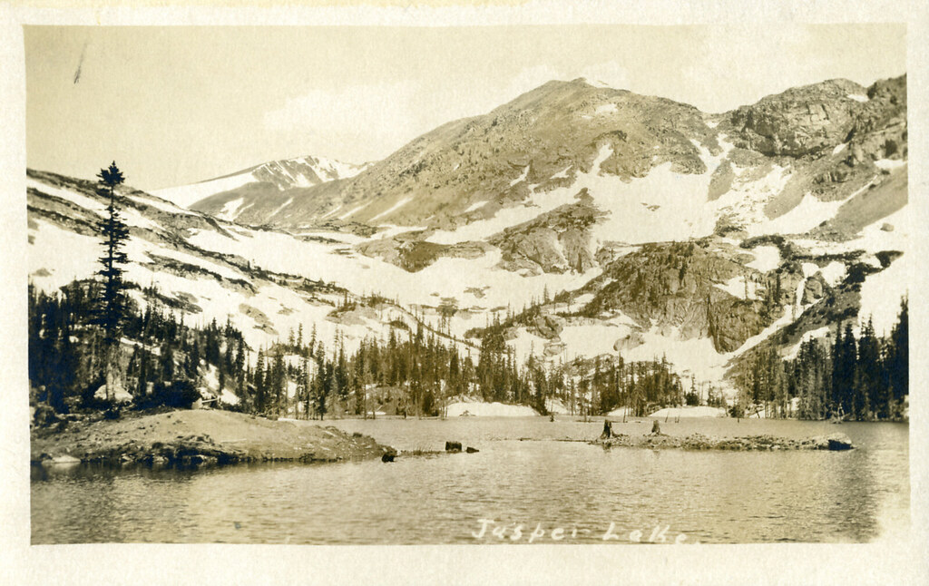 Diamond Lake TrailHiking · ~9 min drivePhoto: waterarchives, CC BY-SA 2.0 (via Flickr)
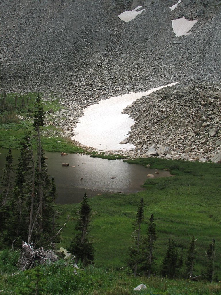 Little Blue Lake RouteHiking · ~11 min drivePhoto: Ben Makuh, CC BY-SA 2.0 (via Flickr)

