Little Rock Lake
Campground
Campground · 3.7 mi from the trail
 Photo: Bas van Oorschot, CC BY-SA 3.0 (via Wikimedia Commons)
Road closed
US 34: road closure is listed as closed by CDOT 511.
US 34: road closure
Closed · ~1.0 km from Marmot Point Hiking Trail · CDOT 511
Trail Ridge Road is Closed to Through Travel for the Season
Park closure covering Rocky Mountain National Park · NPS · Rocky Mountain National Park
As of · Source: CDOT 511. Agencies don't list every closure — check before you go.
Marmot Point Hiking Trail is a short, easy out-and-back hike in Rocky Mountain National Park in Colorado, managed by the National Park Service. The trail is about 0.4 miles long, and it gains about 332 feet of elevation in total, with the high point at roughly 11,885 feet. The climb is front-loaded, so the steepest part comes early, with a grade of about 25% at around 0.19 miles from the start. The trail begins near 11,567 feet and ends just short of the summit, so it makes a quick addition to a longer day on the park's many trails. The route is rated easy, and the trip takes about half an hour. Because the trail is so short, it works well as a brief outing or a way to stretch your legs between other hikes in the area. Several other trails lie within a mile of the trail. Medicine Bow Curve and the Ute Trail are each about 0.6 miles away, and Ypsilon Mountain is about 0.9 miles off. For an overnight stay, Grandview Campground is about 4.8 miles away.
Little Rock Lake
Campground
Trail Ridge Cafe
Restaurant
Images of Rocky Mountain National Park
Gallery
Places © OpenStreetMap contributors
More in Estes ParkNot on Roamze yet. Their page has how to reach them.
Daily highs and lows, wind and the chance of precipitation at the summit and route start for the next 7 days, from the Open-Meteo model.
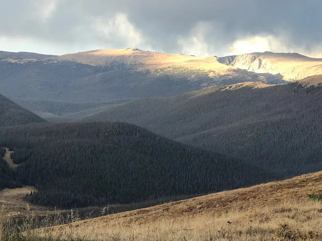 Medicine Bow CurveHikingPhoto: George Bannister from Woodville, MS, USA — Wikimedia Commons (CC BY 2.0)0.6 mi
 Ute TrailHikingPhoto: Vadim Manuylov, CC BY-SA 3.0 (via Wikimedia Commons)0.6 mi
 Ypsilon MountainHikingPhoto: Unknown authorUnknown author, Public domain (via Wikimedia Commons)0.9 mi
 Rock Of AgesRock climbingPhoto: lamblukas, CC BY 2.0 (via Flickr)7.8 mi
Source: Roamze catalog (indexable pages within 10 miles, PostGIS distance)
 Alpine Ridge TrailHiking · Next doorPhoto: Juhele_CZ, Public Domain Dedication (CC0) (via Flickr)Ute TrailHiking · ~1 min drivePhoto: Vadim Manuylov, CC BY-SA 3.0 (via Wikimedia Commons)Mount ChiquitaHiking · ~2 min drivePhoto: Unknown authorUnknown author, Public domain (via Wikimedia Commons)
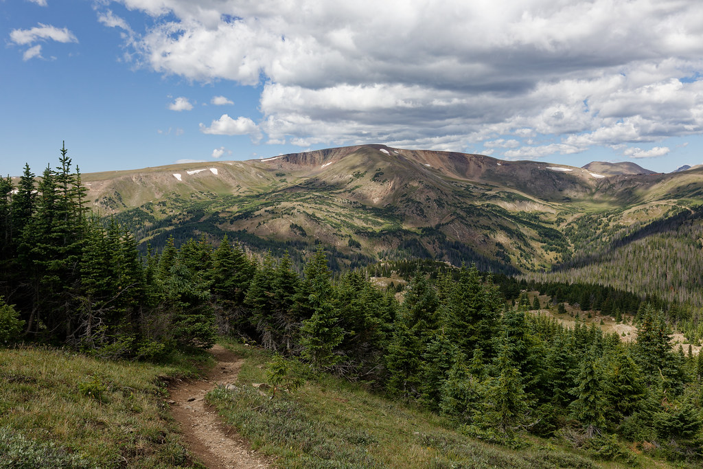 Chapin Pass Trail - Lower ForkHiking · ~2 min drivePhoto: KimonBerlin, CC BY-SA 2.0 (via Flickr)Chapin Creek TrailHiking · ~1 min drivePhoto: Unknown authorUnknown author, Public domain (via Wikimedia Commons)Ypsilon MountainHiking · ~2 min drivePhoto: Unknown authorUnknown author, Public domain (via Wikimedia Commons)
 Crater TrailHiking · ~6 min drivePhoto: Frans-Banja Mulder, CC BY 3.0 (via Wikimedia Commons)
Also worth it near here
About 0.4 mi round trip.
About 346 ft of climbing round trip.
It is rated easy.
About 0.5 hours round trip.
Map and trail data © OpenStreetMap contributors
