Little Rock Lake
Campground
Campground · 3.6 mi from the trail
 Photo: Juhele_CZ, Public Domain Dedication (CC0) (via Flickr)
Blocked today
A road serving this area is closed; weather is good · State DOT 511, OpenWeather · checked just now
Road closed
US 34: road closure is listed as closed by CDOT 511.
US 34: road closure
Closed · ~0.1 km from Alpine Ridge Trail · CDOT 511
Prescribed Fire Operations are Underway near Beaver Meadows Visitor Center
Park closure covering Rocky Mountain National Park · NPS · Rocky Mountain National Park
As of · Source: CDOT 511. Agencies don't list every closure — check before you go.
Alpine Ridge Trail is a short out-and-back hike in Colorado covering 0.62 miles with 197 feet of elevation gain. The trail follows an out-and-back route type.
Little Rock Lake
Campground
Trail Ridge Cafe
Restaurant
Images of Rocky Mountain National Park
Gallery
Places © OpenStreetMap contributors
More in Estes ParkNot on Roamze yet. Their page has how to reach them.
Best months: June and September. Best months have typical highs of 55–85 °F, lows of 30 °F or warmer (32 °F where the station doesn't record snow), at most one snowy day and no more than 12 wet days.
Jan
31° / 11°
9 wet
Feb
33° / 10°
9 wet
Mar
40° / 15°
10 wet
Apr
45° / 20°
10 wet
May
55° / 28°
10 wet
Jun
68° / 36°
10 wet
Jul
74° / 43°
13 wet
Aug
72° / 41°
14 wet
Sep
65° / 34°
10 wet
Oct
51° / 25°
8 wet
Nov
39° / 18°
9 wet
Dec
31° / 11°
9 wet
Typical high / low (°F) and days with rain or snow, 1991–2020. Measured at Hourglass Rsvr, CO, 11.7 mi away at 9,520 ft. We don't have this place's elevation, so higher spots nearby can run cooler. This station doesn't record snowfall. Source: NOAA NCEI U.S. Climate Normals 1991–2020.
 Photo: Vadim Manuylov, CC BY-SA 3.0 (via Wikimedia Commons)
Ute Trail
Next door
9.2 mi · Moderate
HIKE
Medicine Bow Curve
Next door
Medicine Bow Curve provides a great location to view the northernmost areas of Rocky Mountain National Park. Looking to the horizon, visitors will see the Medicine Bow Mountains and the state of Wyoming. The Cache la Poudre river can clearly be seen flowing through the…
 Photo: Bas van Oorschot, CC BY-SA 3.0 (via Wikimedia Commons)
Marmot Point Hiking Trail
Next door
0.78-mile out-and-back hike to Marmot Point in Colorado with 346 ft gain
 Photo: Unknown authorUnknown author, Public domain (via Wikimedia Commons)
Ypsilon Mountain
~2 min drive
Route to the summit of Ypsilon Mountain (13,445 ft) from Chapin Pass Trailhead.
Photo: Unknown authorUnknown author, Public domain (via Wikimedia Commons)Chapin Creek Trail
~2 min drive
1.32-mile out-and-back hike in Colorado with 594 ft gain and 11,159 ft max elevation.
HIKE
Gore Range Overlook
~2 min drive
Get spectacular views of Rocky Mountain National Park’s highest peaks! Gore Range Overlook offers views of the Never Summer Mountains, and the Gore Range. From this western-facing pullout, the flat top of Long’s Peak is in sight - the highest peak at 14,259 feet in the park.…
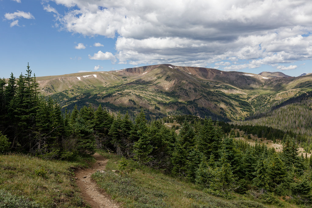 Photo: KimonBerlin, CC BY-SA 2.0 (via Flickr)
Chapin Pass Trail - Lower Fork
~3 min drive
1.04-mile trail in Colorado with 200 ft elevation gain.
Photo: Unknown authorUnknown author, Public domain (via Wikimedia Commons)Mount Chiquita
~2 min drive
Route to the summit of Mount Chiquita (13,051 ft) from Chapin Pass Trailhead.
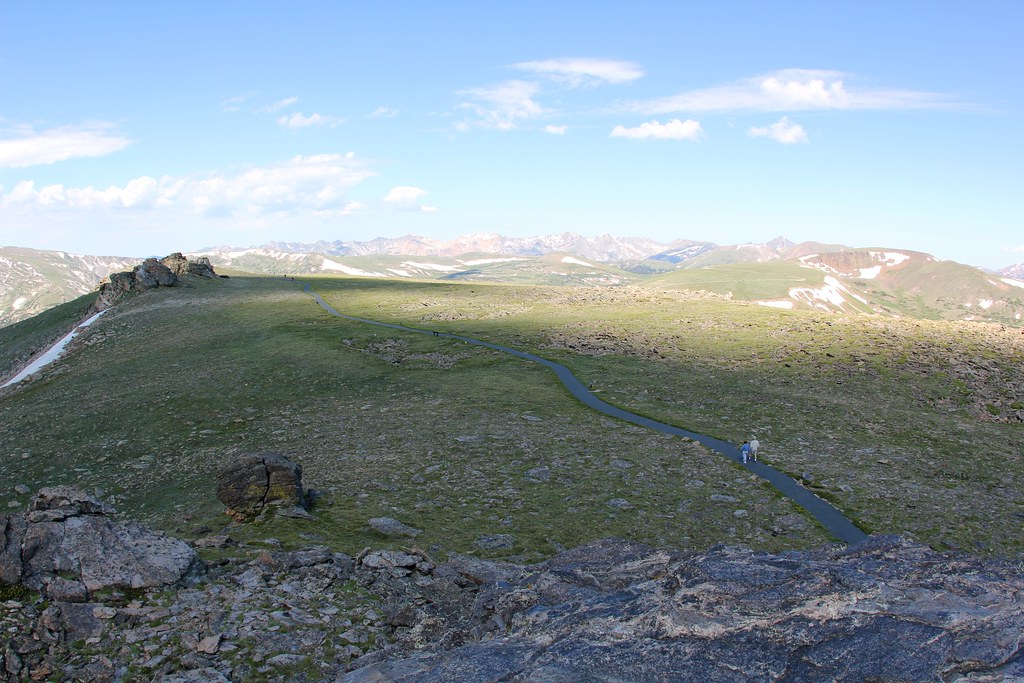 Photo: daveynin — CC BY 2.0 (via Flickr)
Tundra Communities Trail
~4 min drive
1.16-mile out-and-back trail in Colorado with 213 ft elevation gain and loss.
HIKE
Lava Cliffs
~2 min drive
Lava Cliffs features a rare section of volcanic rock in Rocky Mountain National Park. This area is the result of a lava flow that traveled from the Never Summer Range around 28 million years ago. Many years later, glaciers moving through the area cut open the hillside and…

