
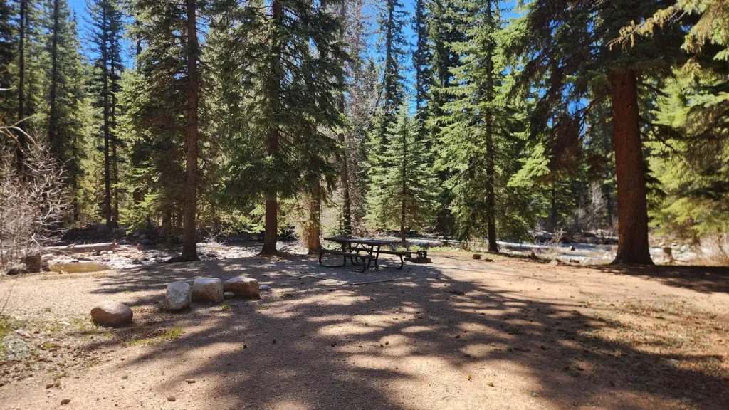
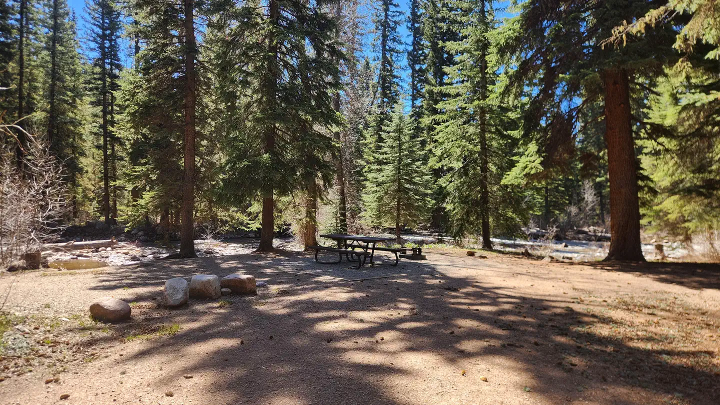
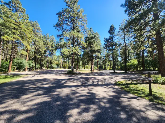

Alpen Rose RV Park
Hiking business nearby (~12 mi away) — hasn't claimed their Roamze page yet
Free — you'll pick up right here.
Watch this trail
Sign up to watch it — saving subscribes you to gate, closure and report changes.
Colorado
12.6 mi
Distance
2,179 ft
Gain
We won't guess. Here is exactly what we do and don't know.
What we do know
Inside San Juan National Forest
2 managing-area boundaries mapped — agency alerts for them feed this page automatically.
Boundary data
What's missing
No access route mapped
We don't yet know which road reaches this trailhead, so we can't tell you if it's gated.
Nobody's filed a report here yet — be the first.
Why you'll love it
Burnt Timber
AI-suggested draft · review before you go
Burnt Timber is a 13.1-mile out-and-back trail located in Colorado near Colorado, managed by Rio Grande National Forest's Conejos Peak Ranger District. This trail offers hikers a substantial day-hike experience through forest terrain characteristic of the Rio Grande National Forest. The out-and-back format means you'll travel 6.55 miles to the turnaround point before retracing your steps, allowing flexibility in how far you want to venture. The trail passes through areas affected by past fire activity, as suggested by its name, creating a unique landscape as the forest recovers and regenerates. As a Rio Grande NF trail, Burnt Timber provides access to the natural beauty of south-central Colorado's high country. The trail is maintained by the Conejos Peak Ranger District, which oversees recreation in this portion of the national forest. Before heading out, contact the Conejos Peak Ranger District directly for current trail conditions and any seasonal closures, as forest service trails can be affected by weather and maintenance schedules. Bring adequate water and prepare for a full day on the trail.

Lost Lake
~1 min drive
1.0 mi · Easy

Youngs Canyon
~6 min drive
7.5 mi · Moderate

Goulding Creek
~14 min drive
6.1 mi · Hard

Vallecito Vis
~13 min drive
1.2 mi · Easy

Lake Eileen
~12 min drive
4.2 mi · Moderate

Shearer Creek
~14 min drive
15 mi · Hard

Chris Park
~13 min drive
1.5 mi · Easy
Miners Trace
~14 min drive
3.8 mi · Moderate

Vallecito
~15 min drive
27 mi · Hard
Lech
~14 min drive
1.1 mi · Easy
Local operatorsoffering guided trips. You book directly with them — Roamze doesn’t take a cut.
Alpen Rose RV Park
Hiking business nearby (~12 mi away) — hasn't claimed their Roamze page yet
HTR Resorts
Hiking business nearby (~19 mi away) — hasn't claimed their Roamze page yet
Crazy Horse Outfitters
Hiking business nearby (~27 mi away) — hasn't claimed their Roamze page yet