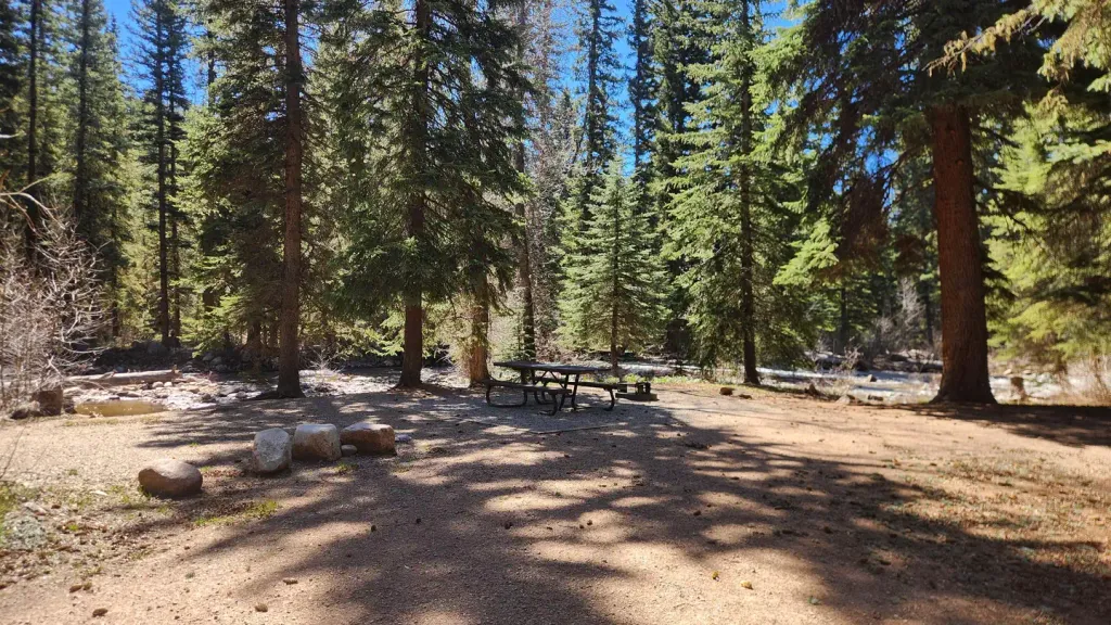
Transfer Park Campground
Campground
Campground · 2.0 mi from the trail
Closure in the area
There's a closure order in Columbine Ranger District. It doesn't name Lime Mesa, so check the source for the area it covers (5 listed).
Pagosa Ranger District Road Closure
Agency closure covering Columbine Ranger District · Order 02-13-08-26-17 · USFS · Columbine Ranger District
COLUMBINE RANGER DISTRICT Road Closure
Agency closure covering Columbine Ranger District · Order 02-13-08-26-18 · USFS · Columbine Ranger District
Travel is not advised to the San Juan NF
Agency closure covering San Juan National Forest · USFS · San Juan National Forest
Closures and dangerous conditions on roads, bridges, and trails from flooding
Agency closure covering San Juan National Forest · USFS · San Juan National Forest
Multiple roads and trails damaged by flooding on SJNF
Agency closure covering San Juan National Forest · USFS · San Juan National Forest
As of · Source: USFS · Columbine Ranger District. Agencies don't list every closure — check before you go.
Lime Mesa is a hard hike in the Columbine Ranger District of Colorado's San Juan National Forest, managed by the Forest Service. The trail is an out-and-back that climbs from about 10,800 feet to about 12,500 feet, with a total elevation gain of 1,191 feet over a route of about 18.3 miles. The trailhead is called Lime Mesa Trailhead, and the open season runs from June 1 to September 30. The trail is natural-surfaced and allows horses, so riders can take it as well as hikers. The climb is long and steep, and the high point sits at about 12,500 feet. Nearby, the Burnt Timber hike is about 1.7 miles away, and the West Side and East Side climbing areas are each about 2 miles off. Transfer Park Campground is also about 2 miles away.
Transfer Park Campground
Campground
 If it rainsJeffrey Beall, CC BY 4.0 · Wikimedia Commons
Places © OpenStreetMap contributors · Photos: Jeffrey Beall, CC BY 4.0 (commons)
More in DurangoNot on Roamze yet. Their page has how to reach them.
 Florida Campground (co)CampingPhoto: Recreation.gov (RIDB) / public domain3.2 mi
Source: Roamze catalog (indexable pages within 10 miles, PostGIS distance)
 Lupine Trace TrailHiking · ~11 min drivePhoto: markbyzewski, CC BY 2.0 (via Flickr)
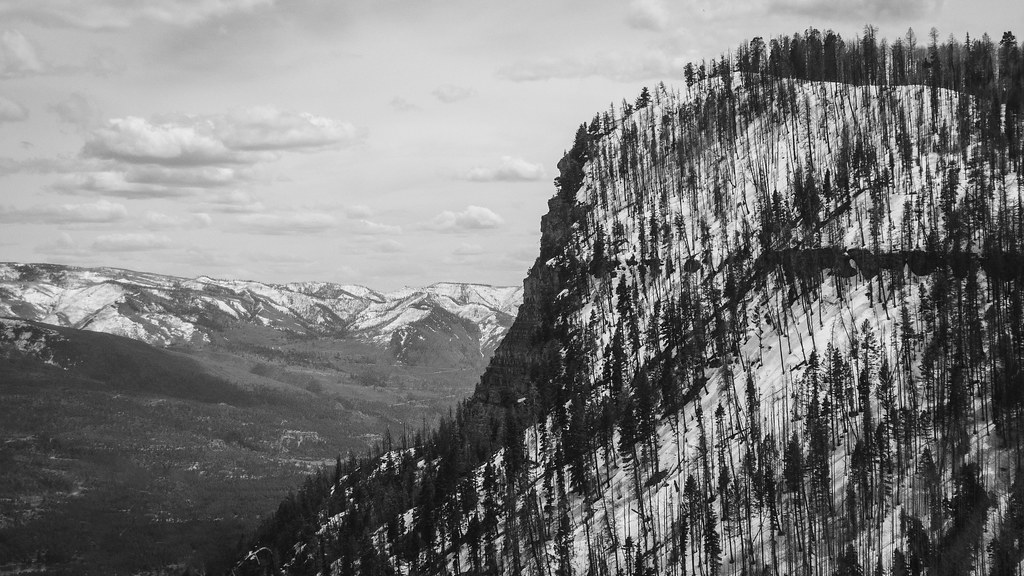 Goulding CreekHiking · ~12 min drivePhoto: Daniel Weber, Public Domain Dedication (CC0) (via Flickr)
 DARK CANYONHiking · ~16 min drivePhoto: crazycharizard, CC BY 2.0 (via Flickr)
 Waterdog TrotHiking · ~11 min drivePhoto: Frans-Banja Mulder, CC BY 3.0 (via Wikimedia Commons)
 Pinkerton-Flagstaff TrailHiking · ~12 min drivePhoto: Frans-Banja Mulder, CC BY 3.0 (via Wikimedia Commons)
 Lake EileenHiking · ~15 min drivePhoto: crazycharizard, CC BY 2.0 (via Flickr)LechHiking · ~11 min drivePhoto: Daniel Weber, Public Domain Dedication (CC0) (via Flickr)
 Stevens CreekHiking · ~13 min drivePhoto: flamouroux, CC BY-SA 2.0 (via Flickr)
