Chris Park
Campground
Campground · 2.5 mi from the trail
 Photo: Frans-Banja Mulder, CC BY 3.0 (via Wikimedia Commons)
Closure in the area
There's a closure order in Columbine Ranger District. It doesn't name Pinkerton-Flagstaff Trail, so check the source for the area it covers (5 listed).
Pagosa Ranger District Road Closure
Agency closure covering Columbine Ranger District · Order 02-13-08-26-17 · USFS · Columbine Ranger District
COLUMBINE RANGER DISTRICT Road Closure
Agency closure covering Columbine Ranger District · Order 02-13-08-26-18 · USFS · Columbine Ranger District
Travel is not advised to the San Juan NF
Agency closure covering San Juan National Forest · USFS · San Juan National Forest
Closures and dangerous conditions on roads, bridges, and trails from flooding
Agency closure covering San Juan National Forest · USFS · San Juan National Forest
Multiple roads and trails damaged by flooding on SJNF
Agency closure covering San Juan National Forest · USFS · San Juan National Forest
As of · Source: USFS · Columbine Ranger District. Agencies don't list every closure — check before you go.
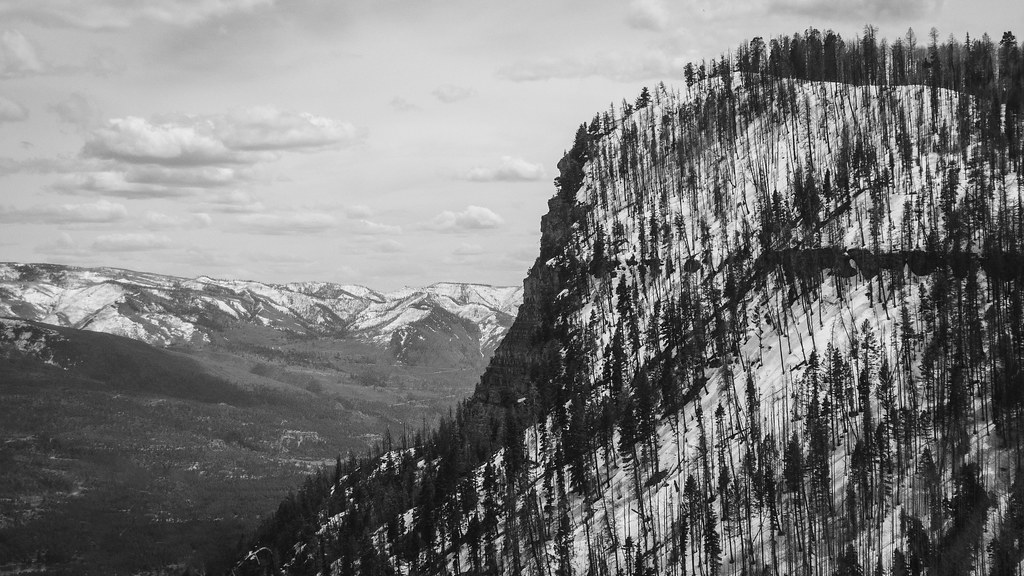
The Pinkerton-Flagstaff Trail is a hard hike in the Columbine Ranger District of the San Juan National Forest in Colorado, managed by the Forest Service. The route is an out-and-back of about 14 miles, with a total elevation gain of roughly 3,480 feet. The trail starts at about 9,376 feet and reaches a high point of about 10,256 feet. The climb is steady, and the steepest stretch comes at about 2.8 miles in, where the grade reaches 37%. Summer is the most comfortable time to go. Typical averages from the nearby Silverton weather station, which sits about 970 feet lower, show July highs around 75°F with lows near 38°F, while winter highs stay in the mid-30s and lows drop to about -6°F in January. Several other outdoor spots lie within a few miles. Goulding Creek, a mountain biking area, is about 1.4 miles away, and the Right Side and Left Side climbing areas are each about 2 miles off. Lower Hermosa Campground is about 2.8 miles away.
Chris Park
Campground
Pinkerton Hot Springs
Hot spring
Places © OpenStreetMap contributors
More in DurangoNot on Roamze yet. Their page has how to reach them.
 Goulding CreekMountain bikingPhoto: Frans-Banja Mulder, CC BY 3.0 (via Wikimedia Commons)1.4 mi
 Hermosa CreekCanoeingPhoto: Jeffrey Beall, CC BY 4.0 (via Wikimedia Commons)5.6 mi
Source: Roamze catalog (indexable pages within 10 miles, PostGIS distance)
 Goulding CreekHiking · ~3 min drivePhoto: Daniel Weber, Public Domain Dedication (CC0) (via Flickr)
 Meadow TrailHiking · ~4 min drivePhoto: Frans-Banja Mulder, CC BY 3.0 (via Wikimedia Commons)
 Stevens CreekHiking · ~9 min drivePhoto: flamouroux, CC BY-SA 2.0 (via Flickr)LechHiking · ~4 min drivePhoto: Daniel Weber, Public Domain Dedication (CC0) (via Flickr)
 Dutch Creek TrailHiking · ~6 min drivePhoto: markbyzewski, CC BY 2.0 (via Flickr)Hermosa ViewHiking · ~4 min drivePhoto: markbyzewski, CC BY 2.0 (via Flickr)
No month here meets our mild-weather rule. Best months have typical highs of 55–85 °F, lows of 30 °F or warmer (32 °F where the station doesn't record snow), at most one snowy day and no more than 12 wet days.
Jan
34° / -6°
9 wet
Feb
36° / -3°
9 wet
Mar
43° / 6°
10 wet
Apr
48° / 17°
9 wet
May
58° / 25°
9 wet
Jun
70° / 31°
7 wet
Jul
75° / 38°
13 wet
Aug
72° / 37°
15 wet
Sep
66° / 30°
12 wet
Oct
55° / 20°
9 wet
Nov
43° / 7°
8 wet
Dec
34° / -5°
9 wet
Typical high / low (°F) and days with rain or snow, 1991–2020. Measured at Silverton, CO, 23.8 mi away at 9,285 ft. The station sits about 1,000 ft lower than this place, so expect it a little cooler here. This station doesn't record snowfall. Source: NOAA NCEI U.S. Climate Normals 1991–2020.
Map and trail data © OpenStreetMap contributors
