Buffalo Ridge
- 15.8 mi
- round trip
- 1,621 ft
- climb
- 11,157 ft
- high point
- Out and back
- route
Caution today
Agency alerts are in effect for this area; weather is marginal · USFS, OpenWeather · checked 6 h ago
Is Buffalo Ridge open right now?
Alert in the area
The Forest Service lists 3 alerts for Medicine Bow-Routt National Forest.
Access Impact: Big Creek Lakes Dam Project
Agency alert covering Medicine Bow-Routt National Forest · USFS · Medicine Bow-Routt National Forest
Trail & Access Impact: Stillwater Reservoir Project
Agency alert covering Medicine Bow-Routt National Forest · USFS · Medicine Bow-Routt National Forest
Snowy Range - 2026 Active Vegetation Operations
Agency alert covering Medicine Bow-Routt National Forest · USFS · Medicine Bow-Routt National Forest
As of · Source: USFS · Medicine Bow-Routt National Forest. Agencies don't list every closure — check before you go.
Buffalo Ridge is a hard out-and-back hike in Colorado's Medicine Bow-Routt National Forest, within the Parks Ranger District. The trail is about 15.8 miles long, with a one-way elevation gain of 1,621 feet, taking you from a low point of 9,716 feet to a high of 11,157 feet. The Forest Service manages the land, and the trail is natural-surfaced and open to horses. The Buffalo Ridge Trailhead is the parking for the route, and the trail is open year-round. Plan for a full day on foot, with the climb spread across the length of the hike. Nearby, Beaver Creek is a hike about 2.5 miles away, and the Encampment River offers canoeing about 3.5 miles off. Big Creek Lakes Campground is about 5.6 miles away, and the Mica Basin climbing area is roughly 10 miles away.
Local outfitters
- Deer Haven RV Park34 mi away
Not on Roamze yet. Their page has how to reach them.
- Beaver CreekHiking2.5 mi
- Encampment RiverCanoeing3.5 mi
- Main ForkHiking4.6 mi
- East Fork Encampment RiverCanoeing4.8 mi
- West Fork Encampment RiverCanoeing4.8 mi
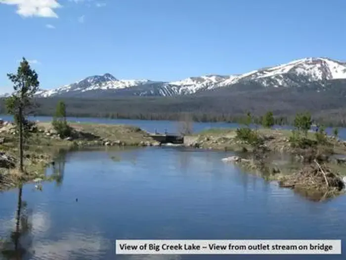 Big Creek Lakes CampgroundCampingPhoto: Recreation.gov (RIDB) / public domain5.6 mi
- Hog Park CampgroundCamping9 mi
- Mica BasinRock climbing9.9 mi
Source: Roamze catalog (indexable pages within 10 miles, PostGIS distance)
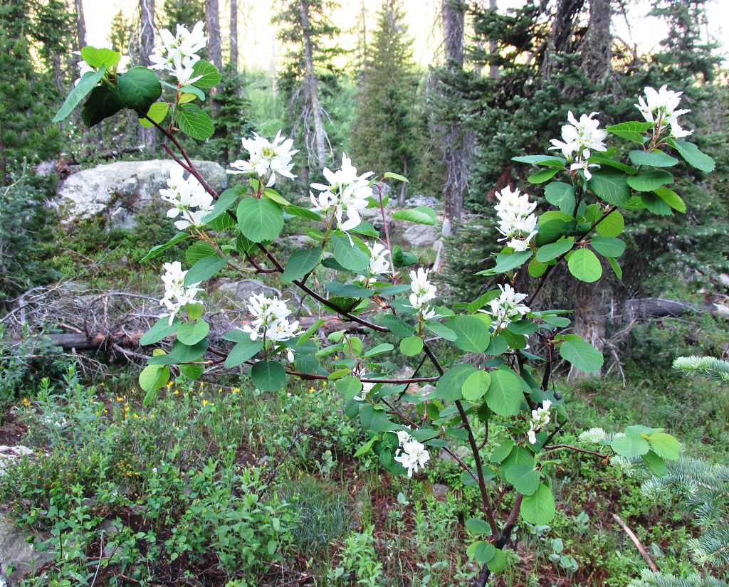 GilpinHiking · ~22 min drivePhoto: brewbooks, CC BY-SA 2.0 (via Flickr)
 Bear LakesHiking · ~23 min drivePhoto: brewbooks from near Seattle, USA, CC BY-SA 2.0 (via Wikimedia Commons)
- Mica BasinHiking · ~21 min drivePhoto: brewbooks, CC BY-SA 2.0 (via Flickr)
- Whiskey Creek TrailHiking · ~21 min drive
 Gold Creek LakeHiking · ~23 min drivePhoto: brewbooks, CC BY-SA 2.0 (via Flickr)
- Manzanares Cutoff TrailHiking · ~10 min drive
- ManzanaresHiking · ~12 min drive
- Wyoming TrailHiking · ~23 min drivePhoto: brewbooks, CC BY-SA 2.0 (via Flickr)
- Big Creek Lakes LoopHiking · ~10 min drive
- Blue LakeHiking · ~20 min drive
