Beaver Creek
- 10.7 mi
- round trip
- 2,040 ft
- climb
- 10,208 ft
- high point
- Out and back
- route
Is Beaver Creek open right now?
Alert in the area
The Forest Service lists 3 alerts for Medicine Bow-Routt National Forest.
Access Impact: Big Creek Lakes Dam Project
Agency alert covering Medicine Bow-Routt National Forest · USFS · Medicine Bow-Routt National Forest
Trail & Access Impact: Stillwater Reservoir Project
Agency alert covering Medicine Bow-Routt National Forest · USFS · Medicine Bow-Routt National Forest
Snowy Range - 2026 Active Vegetation Operations
Agency alert covering Medicine Bow-Routt National Forest · USFS · Medicine Bow-Routt National Forest
As of · Source: USFS · Medicine Bow-Routt National Forest. Agencies don't list every closure — check before you go.
Beaver Creek is a hard hike in Colorado's Mount Zirkel Wilderness, part of the Parks Ranger District of the Medicine Bow-Routt National Forest. The trail is an out-and-back that climbs about 2,040 feet from a low point of 9,135 feet to a high of 10,208 feet, and it is roughly 10.7 miles long. The Forest Service manages the land, and the trail is open year-round. The trailhead is at Beaver Creek Trailhead, and the route is on natural surface. Horses are allowed. For a longer outing, Buffalo Ridge lies about 2.5 miles away and Seven Lakes about 3.3 miles. Big Creek Lakes Campground is about 3.9 miles off, and Gem Lake is about 4.1 miles away.
Local outfitters
- Deer Haven RV Park36 mi away
Not on Roamze yet. Their page has how to reach them.
Keep exploring — more trails worth the drive
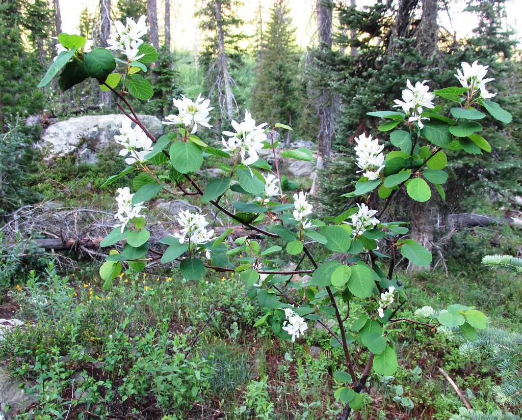 Photo: brewbooks, CC BY-SA 2.0 (via Flickr)
Mica Basin
~18 min drive
5.46-mile out-and-back trail in Colorado's Medicine Bow-Routt National Forest with 1,359 ft gain.
 Photo: brewbooks, CC BY-SA 2.0 (via Flickr)
Gold Creek Lake
~19 min drive
14.26-mile out-and-back trail to Gold Creek Lake in Colorado's Medicine Bow-Routt National Forest.
 Photo: brewbooks from near Seattle, USA, CC BY-SA 2.0 (via Wikimedia Commons)
Bear Lakes
~19 min drive
2.13-mile out-and-back trail to Bear Lakes in Colorado with 30 ft of elevation gain.
HIKE
Main Fork
~13 min drive
3.49-mile out-and-back trail in Wyoming with 167 ft of elevation gain.
Photo: brewbooks, CC BY-SA 2.0 (via Flickr)Wyoming Trail
~19 min drive
17.71-mile out-and-back trail in Colorado with 2,830 ft gain and 11,148 ft max elevation.
HIKE
Gem Lake
~7 min drive
2.14-mile out-and-back trail to Gem Lake in Colorado's Medicine Bow-Routt National Forest.
HIKE
Blue Lake
~16 min drive
3.91-mile out-and-back trail to Blue Lake in Colorado's Medicine Bow-Routt National Forest.
 Photo: brewbooks, CC BY-SA 2.0 (via Flickr)
Three Island Lake
~21 min drive
11.40-mile out-and-back hike to Three Island Lake in Colorado's Medicine Bow-Routt National Forest.
HIKE
Big Creek Lakes Loop
~7 min drive
2.80-mile out-and-back out-and-back in Colorado's Medicine Bow-Routt National Forest.
HIKE
Twin Lakes
~17 min drive
3.14-mile out-and-back trail in Colorado with 894 ft elevation gain.

