Jim Creek Campground
Campground
Campground · 1.4 mi from the trail
 Photo: Andrew Evans, CC BY-SA 3.0 (via Wikimedia Commons)
Alert in the area
The Forest Service lists 3 alerts for Arapaho and Roosevelt National Forests.
Fire Restrictions
Agency alert covering Arapaho and Roosevelt National Forests · USFS · Arapaho and Roosevelt National Forests
Fire Restrictions
Agency alert covering Sulphur Ranger District · USFS · Sulphur Ranger District
Permanent Recreational Shooting Order
Agency alert covering Sulphur Ranger District · Order 02-10-00-25-02 · USFS · Sulphur Ranger District
As of · Source: USFS · Arapaho and Roosevelt National Forests. Agencies don't list every closure — check before you go.
Broken Thumb Trail is an easy, short out-and-back hike in Colorado's Arapaho and Roosevelt National Forests, within the Sulphur Ranger District. The trail is managed by the Forest Service, and its start sits at about 10,190 feet. The route climbs to a high point of about 10,326 feet, with a total gain of roughly 230 feet on the way up and a matching loss on the way back. The climb is front-loaded, with the steepest section about a third of the way in, where the grade reaches about 10 percent. The most comfortable months are late summer into early fall. Typical averages from a nearby weather station show September highs near 59°F and October highs near 47°F, with lows in the mid-20s. The trail makes an easy add-on to other outings in the area. Forest Spur, a mountain biking route, is about 0.3 miles away, and Buck Creek is about 0.7 miles off. For an overnight stay, Midland Group Campground is about 2.5 miles away, and Vasquez Road, a climbing area, is about 4.1 miles away.
Jim Creek Campground
Campground
 If it rainsUser:Magicpiano, CC BY-SA 4.0 · Wikimedia Commons
Historic house-museum in Georgetown, Colorado, United States
Places © OpenStreetMap contributors, Places © Overture Maps Foundation · Photos: User:Magicpiano, CC BY-SA 4.0 (commons)
More in Idaho SpringsSource: Roamze catalog (indexable pages within 10 miles, PostGIS distance)
 Challenger TrailHiking · ~2 min drivePhoto: halseike, CC BY 2.0 (via Flickr)Jim CreekHiking · ~2 min drivePhoto: halseike, CC BY 2.0 (via Flickr)
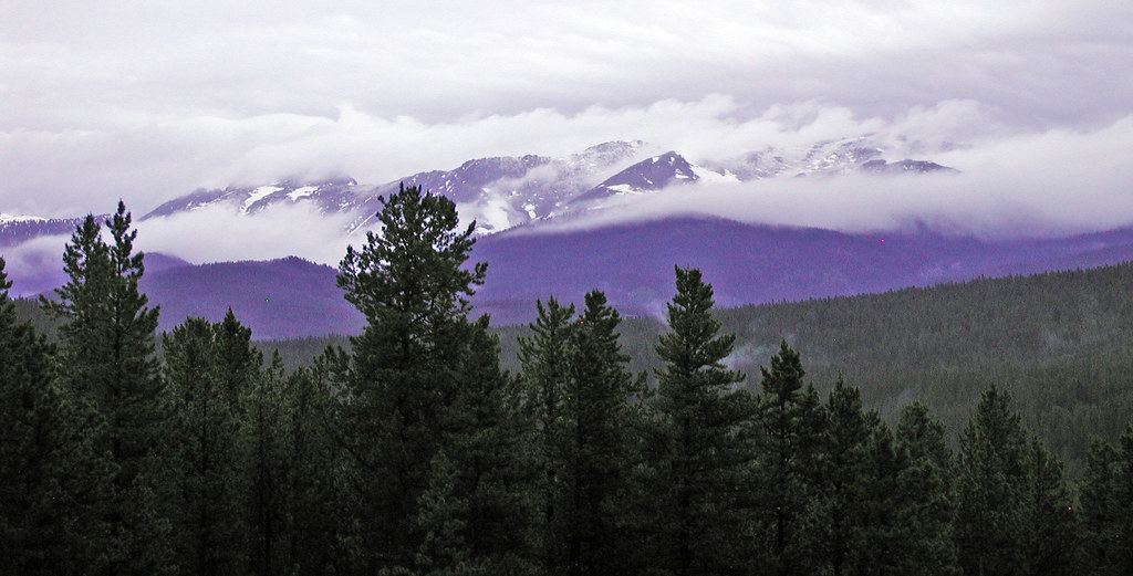 Blue SkyHiking · ~6 min drivePhoto: edcrowle, CC BY 2.0 (via Flickr)Buck CreekHiking · ~2 min drivePhoto: halseike, CC BY 2.0 (via Flickr)
 Discovery TrailHiking · ~3 min drivePhoto: gregor_y, CC BY-SA 2.0 (via Flickr)
 SerenityHiking · ~4 min drivePhoto: gregor_y, CC BY-SA 2.0 (via Flickr)
Map and trail data © OpenStreetMap contributors
