Riverside Campground
Campground
Campground · 0.8 mi from the trail
Caution today
Agency alerts are in effect for this area; weather is good · USFS, OpenWeather · checked 3 h ago
Alert in the area
The Forest Service lists 8 alerts for Pike and San Isabel National Forests.
FSR 286, Radical Hill, is closed due to washouts and unsafe conditions
Agency alert covering Pike and San Isabel National Forests · USFS · Pike and San Isabel National Forests
Interlaken Hotel Tree Hazards
Agency alert covering Pike and San Isabel National Forests · USFS · Pike and San Isabel National Forests
National Forest Service Road 8 closure
Agency alert covering South Park Ranger District · Order 02-12-10-26-13 · USFS · South Park Ranger District
Sharpe Fire Update
Agency alert covering Pike and San Isabel National Forests · USFS · Pike and San Isabel National Forests
Turquoise Lake Road (County Road 4) Closure
Agency alert covering Pike and San Isabel National Forests · USFS · Pike and San Isabel National Forests
As of · Source: USFS · Pike and San Isabel National Forests. Agencies don't list every closure — check before you go.
Blue Mountain is a 3-mile out-and-back hike in the South Park Ranger District of the Pike and San Isabel National Forests in Colorado, managed by the Forest Service. The trail rises about 1,000 feet from a low point of 8,183 feet to a high of 9,194 feet, and it is rated moderate. Summer is the most comfortable time to go. Typical averages from a nearby weather station at a similar elevation show July highs around 74°F with lows near 47°F, while winter highs stay in the low 30s. Bikes are allowed on the natural-surface trail. Riverside Campground and Blue Mountain Campground both sit within a mile, and the Hardrock hike is about 0.8 miles away.
Riverside Campground
Campground
 If it rainsJeffrey Beall, CC BY 3.0 · Wikimedia Commons
Cripple Creek District Museum
Museum
History museum in Cripple Creek, Colorado
Places © OpenStreetMap contributors · Photos: Jeffrey Beall, CC BY 3.0 (commons)
More in GuffeyNot on Roamze yet. Their page has how to reach them.
 HardrockHikingPhoto: Ken Brazier (Ken g6), CC BY-SA 3.0 (via Wikimedia Commons)0.8 mi
 O'Brian Gulch CampgroundCampingPhoto: Jeffrey Beall, CC BY 4.0 (via Wikimedia Commons)1.1 mi
Source: Roamze catalog (indexable pages within 10 miles, PostGIS distance)
HardrockHiking · ~1 min drivePhoto: Ken Brazier (Ken g6), CC BY-SA 3.0 (via Wikimedia Commons)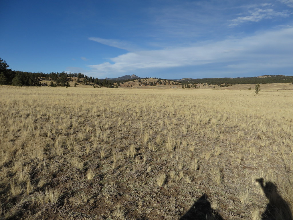 Hornbek Wildlife LoopHiking · ~9 min drivePhoto: Ken Lund, CC BY-SA 2.0 (via Flickr)
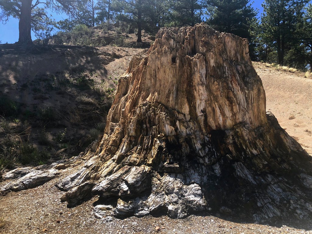 Boulder Creek TrailHiking · ~8 min drivePhoto: roy.luck, CC BY 2.0 (via Flickr)
 Cabin Creek TrailHiking · ~18 min drivePhoto: Sack-Sama, CC BY-SA 2.0 (via Flickr)
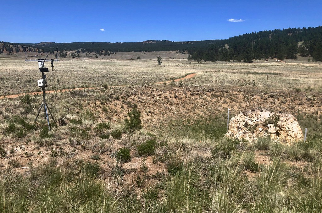 Sawmill-Boulder TrailHiking · ~8 min drivePhoto: roy.luck, CC BY 2.0 (via Flickr)Petrified Forest LoopHiking · ~9 min drivePhoto: Ken Lund, CC BY-SA 2.0 (via Flickr)
Also worth it near here
 Wagon Tongue CampgroundCamping · ~6 min drivePhoto: Jay Miller from Fly to Eleven Mile Canyon just outside Colorado Springs, CC BY 2.0 (via Wikimedia Commons)
Best months: June–September. Best months have typical highs of 55–85 °F, lows of 30 °F or warmer (32 °F where the station doesn't record snow), at most one snowy day and no more than 12 wet days.
Jan
33° / 9°
Feb
34° / 11°
Mar
41° / 17°
Apr
47° / 23°
May
57° / 31°
Jun
69° / 41°
Jul
74° / 47°
Aug
71° / 45°
Sep
65° / 38°
Oct
54° / 27°
Nov
42° / 18°
Dec
33° / 12°
Typical high / low (°F) and days with rain or snow, 1991–2020. Measured at Divide 4nw, CO, 8.4 mi away at 9,134 ft. This station doesn't record snowfall. Source: NOAA NCEI U.S. Climate Normals 1991–2020.
