Happy Meadows Campground
Campground
Campground · 3.5 mi from the trail
Alert in the area
The Forest Service lists 8 alerts for Pike and San Isabel National Forests.
FSR 286, Radical Hill, is closed due to washouts and unsafe conditions
Agency alert covering Pike and San Isabel National Forests · USFS · Pike and San Isabel National Forests
Interlaken Hotel Tree Hazards
Agency alert covering Pike and San Isabel National Forests · USFS · Pike and San Isabel National Forests
National Forest Service Road 8 closure
Agency alert covering South Park Ranger District · Order 02-12-10-26-13 · USFS · South Park Ranger District
Sharpe Fire Update
Agency alert covering Pike and San Isabel National Forests · USFS · Pike and San Isabel National Forests
Turquoise Lake Road (County Road 4) Closure
Agency alert covering Pike and San Isabel National Forests · USFS · Pike and San Isabel National Forests
As of · Source: USFS · Pike and San Isabel National Forests. Agencies don't list every closure — check before you go.
Platte Springs is a hard hike of about 2.2 miles round trip in Colorado's Pike and San Isabel National Forests, within the South Park Ranger District. The trail gains about 616 feet from a low point of 7,546 feet to a high of 8,409 feet at the top. The Platte Springs Trailhead sits at a parking area called Platte Springs, and the trail stays open year-round. Bikes are allowed on the natural-surface path. Summer is the most comfortable time to go. Typical averages from a nearby weather station at the Florissant Fossil Bed put July highs around 79°F with lows near 42°F, while winter highs hover around 39°F. Longwater and the Platte River Trail both lie within a mile. Happy Meadows Campground is about 3.5 miles away, and the climbing area at Black Dog Rock is about 3.1 miles off.
Happy Meadows Campground
Campground
Costello Street Coffee House
Restaurant
 If it rainsJeffrey Beall, CC BY 3.0 · Wikimedia Commons
Cripple Creek District Museum
Museum
History museum in Cripple Creek, Colorado
Places © OpenStreetMap contributors · Photos: Jeffrey Beall, CC BY 3.0 (commons)
More in GuffeyNot on Roamze yet. Their page has how to reach them.
Source: Roamze catalog (indexable pages within 10 miles, PostGIS distance)
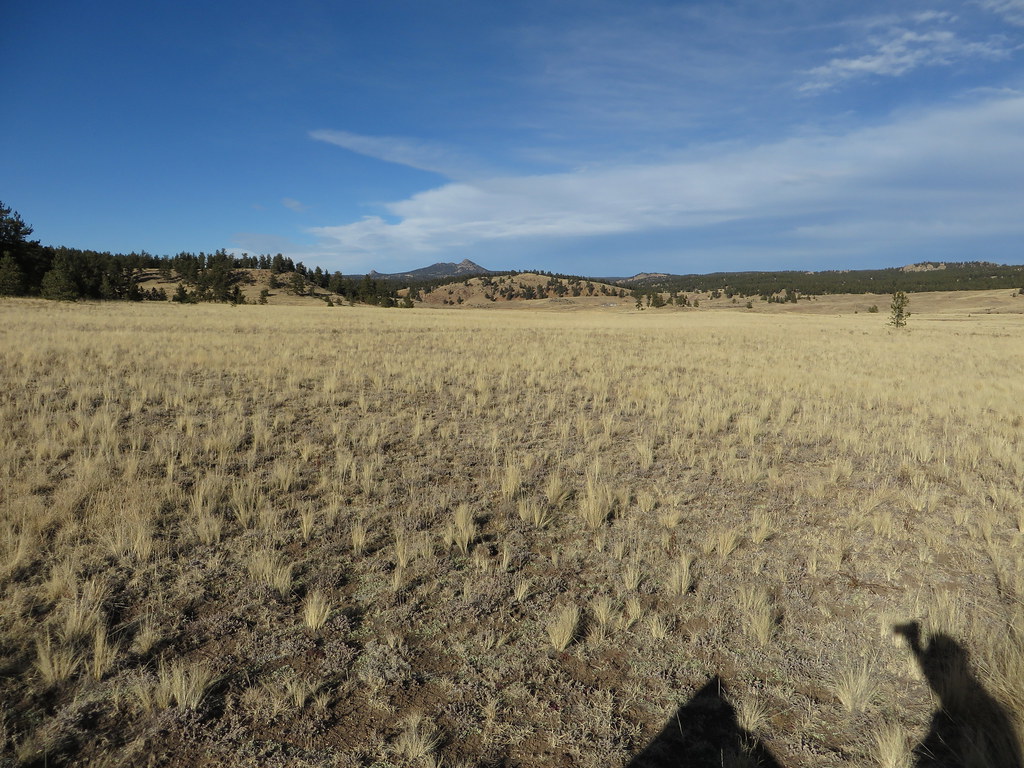
 Boulder Creek TrailHiking · ~18 min drivePhoto: roy.luck, CC BY 2.0 (via Flickr)
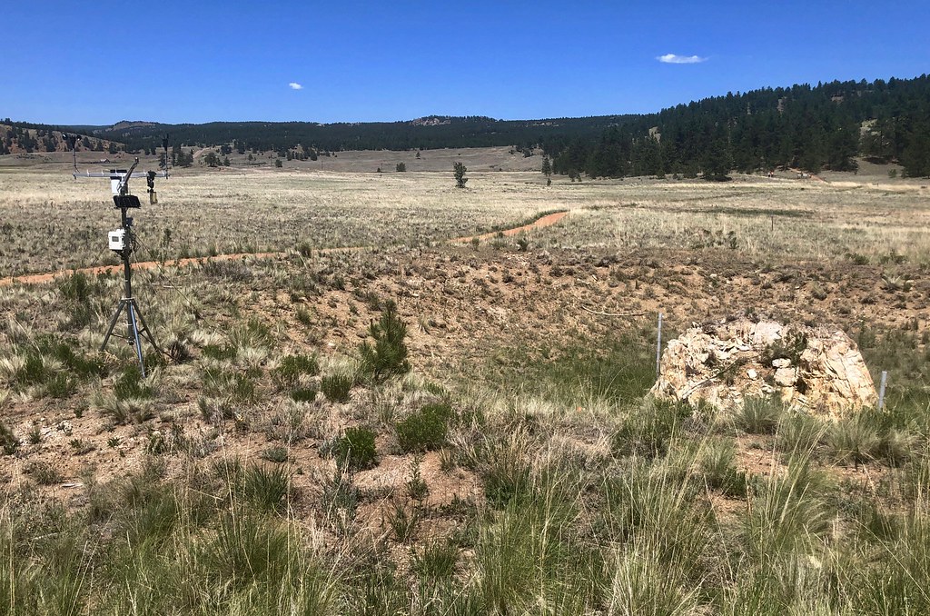 Sawmill-Boulder TrailHiking · ~19 min drivePhoto: roy.luck, CC BY 2.0 (via Flickr)
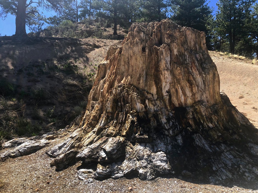
 Petrified Forest LoopHiking · ~19 min drivePhoto: Ken Lund, CC BY-SA 2.0 (via Flickr)
Best months: June–July and September. Best months have typical highs of 55–85 °F, lows of 30 °F or warmer (32 °F where the station doesn't record snow), at most one snowy day and no more than 12 wet days.
Jan
39° / 5°
4 wet
Feb
41° / 7°
5 wet
Mar
49° / 15°
6 wet
Apr
55° / 21°
6 wet
May
64° / 29°
8 wet
Jun
75° / 37°
9 wet
Jul
79° / 42°
12 wet
Aug
76° / 41°
13 wet
Sep
71° / 33°
8 wet
Oct
60° / 23°
5 wet
Nov
47° / 14°
4 wet
Dec
39° / 5°
4 wet
Typical high / low (°F) and days with rain or snow, 1991–2020. Measured at Florissant Fossil Bed, CO, 11.1 mi away at 8,402 ft. This station doesn't record snowfall. Source: NOAA NCEI U.S. Climate Normals 1991–2020.

