Travel Port Campground
Campground
Campground · 4.6 mi from the trail
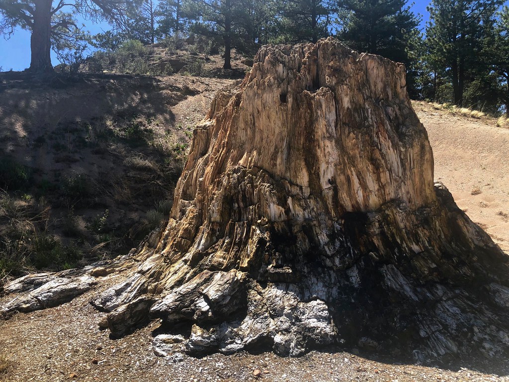 Photo: roy.luck, CC BY 2.0 (via Flickr)
No closures listed
The National Park Service lists no closures for Florissant Fossil Beds National Monument.
As of · Source: NPS · Florissant Fossil Beds National Monument. Agencies don't list every closure — check before you go.
Boulder Creek Trail is an easy out-and-back hike in Florissant Fossil Beds National Monument in Colorado, managed by the National Park Service. The trail is about 1.5 miles long, and the round trip covers roughly 3 miles with a total elevation gain of about 790 feet, from a starting point near 8,390 feet to a high point of about 8,616 feet. Summer is the most comfortable time to go. Typical averages from a nearby weather station show July highs around 79°F with lows near 42°F, while winter highs stay in the upper 30s. The trail is short enough to fit into a half day. The Sawmill Trail and the Petrified Forest Loop are both within about half a mile, and the Hornbek Wildlife Loop is a similar distance away. For an overnight stay, Travel Port Campground is about 4.6 miles off.
Travel Port Campground
Campground
Philly Joe's Cheesesteaks
Restaurant
 If it rainsJeffrey Beall, CC BY 3.0 · Wikimedia Commons
Cripple Creek District Museum
Museum
History museum in Cripple Creek, Colorado
Places © OpenStreetMap contributors, Places © Overture Maps Foundation · Photos: Jeffrey Beall, CC BY 3.0 (commons)
More in GuffeyNot on Roamze yet. Their page has how to reach them.
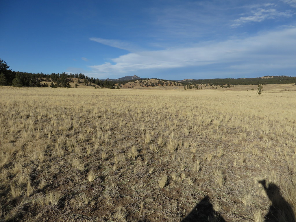 Hornbek Wildlife LoopHikingPhoto: Ken Lund, CC BY-SA 2.0 (via Flickr)0.6 miPetrified Forest LoopHikingPhoto: Ken Lund, CC BY-SA 2.0 (via Flickr)0.6 mi
Source: Roamze catalog (indexable pages within 10 miles, PostGIS distance)
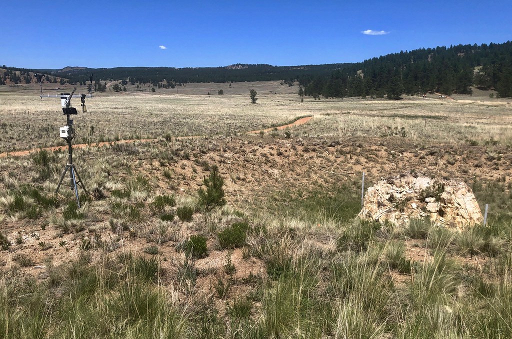 Sawmill-Boulder TrailHiking · Next doorPhoto: roy.luck, CC BY 2.0 (via Flickr)Hornbek Wildlife LoopHiking · Next doorPhoto: Ken Lund, CC BY-SA 2.0 (via Flickr)Petrified Forest LoopHiking · Next doorPhoto: Ken Lund, CC BY-SA 2.0 (via Flickr)
 Rock CanyonHiking · ~10 min drivePhoto: Sack-Sama, CC BY-SA 2.0 (via Flickr)
 HardrockHiking · ~8 min drivePhoto: Ken Brazier (Ken g6), CC BY-SA 3.0 (via Wikimedia Commons)
 Cabin Creek TrailHiking · ~10 min drivePhoto: Sack-Sama, CC BY-SA 2.0 (via Flickr)
 Nobel Cabin TrailHiking · ~8 min drivePhoto: Sack-Sama, CC BY-SA 2.0 (via Flickr)Hammer Homestead TrailHiking · ~10 min drivePhoto: Sack-Sama, CC BY-SA 2.0 (via Flickr)
 Mountain LoggerHiking · ~9 min drivePhoto: Sack-Sama, CC BY-SA 2.0 (via Flickr)
 Four Mile OverlookHiking · ~11 min drivePhoto: Sack-Sama, CC BY-SA 2.0 (via Flickr)
Best months: June–July and September. Best months have typical highs of 55–85 °F, lows of 30 °F or warmer (32 °F where the station doesn't record snow), at most one snowy day and no more than 12 wet days.
Jan
39° / 5°
4 wet
Feb
41° / 7°
5 wet
Mar
49° / 15°
6 wet
Apr
55° / 21°
6 wet
May
64° / 29°
8 wet
Jun
75° / 37°
9 wet
Jul
79° / 42°
12 wet
Aug
76° / 41°
13 wet
Sep
71° / 33°
8 wet
Oct
60° / 23°
5 wet
Nov
47° / 14°
4 wet
Dec
39° / 5°
4 wet
Typical high / low (°F) and days with rain or snow, 1991–2020. Measured at Florissant Fossil Bed, CO, 0.6 mi away at 8,402 ft. This station doesn't record snowfall. Source: NOAA NCEI U.S. Climate Normals 1991–2020.
Map and trail data © OpenStreetMap contributors

