Guanella Pass Campground
Campground
Campground · 2.9 mi from the trail
Alert in the area
The Forest Service lists 3 alerts for Arapaho and Roosevelt National Forests.
Fire Restrictions
Agency alert covering Arapaho and Roosevelt National Forests · USFS · Arapaho and Roosevelt National Forests
Slater Lake Area Closure
Agency alert covering Clear Creek Ranger District · Order 02-10-07-26-03 · USFS · Clear Creek Ranger District
Area Closure Surrounding the Devils Nose Target Range
Agency alert covering Clear Creek Ranger District · Order 02-10-07-26-01 · USFS · Clear Creek Ranger District
As of · Source: USFS · Arapaho and Roosevelt National Forests. Agencies don't list every closure — check before you go.
The Argentine Central Railroad Grade Trail is a 13.7-mile out-and-back route located in Colorado. This trail follows the historic grade of the Argentine Central Railroad, offering hikers a unique opportunity to explore both natural scenery and railroad history in the state. The out-and-back format means you'll cover approximately 6.85 miles one way before retracing your steps. The trail's railroad grade foundation provides a relatively consistent path, making it accessible to a range of hiking abilities. This route takes you through Colorado's mountain terrain, with the railroad grade offering gentle grades compared to many other hiking trails in the region. The historical significance of the Argentine Central Railroad adds an interpretive dimension to your hike, as you'll be walking the same path used during Colorado's mining era. The trail is ideal for hikers seeking a moderate distance day hike with historical context. Whether you're interested in railroad heritage, mountain scenery, or a straightforward hiking experience, this trail offers a distinct perspective on Colorado's outdoor recreation opportunities.
Guanella Pass Campground
Campground
 If it rainsUser:Magicpiano, CC BY-SA 4.0 · Wikimedia Commons
Historic house-museum in Georgetown, Colorado, United States
Places © OpenStreetMap contributors, Places © Overture Maps Foundation · Photos: User:Magicpiano, CC BY-SA 4.0 (commons)
More in Idaho Springs Geneva CreekCanoeingPhoto: Plazak, CC BY-SA 3.0 (via Wikimedia Commons)7.6 mi
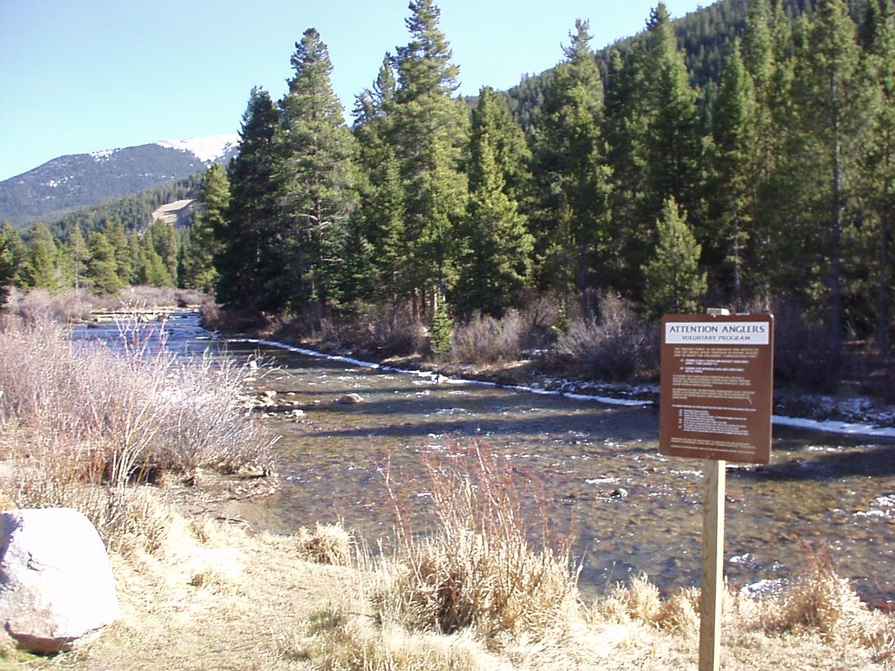 Snake RiverCanoeingPhoto: K.warterbeck, CC BY-SA 3.0 (via Wikimedia Commons)8.3 mi
Source: Roamze catalog (indexable pages within 10 miles, PostGIS distance)
 Upper lakes to GraysHiking · ~3 min drivePhoto: QKC, CC BY-SA 3.0 (via Wikimedia Commons)Argentine PeakHiking · ~4 min drivePhoto: QKC, CC BY-SA 3.0 (via Wikimedia Commons)Mount EdwardsHiking · ~4 min drivePhoto: QKC, CC BY-SA 3.0 (via Wikimedia Commons)
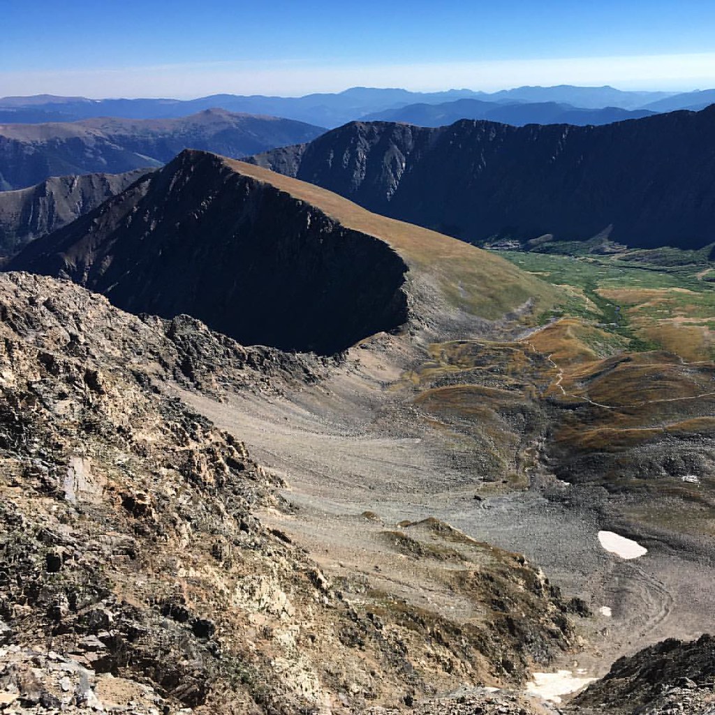 Kelso RidgeHiking · ~4 min drivePhoto: gregor_y, CC BY-SA 2.0 (via Flickr)
 Silver Dollar LakeHiking · ~4 min drivePhoto: kalestews, CC BY 2.0 (via Flickr)
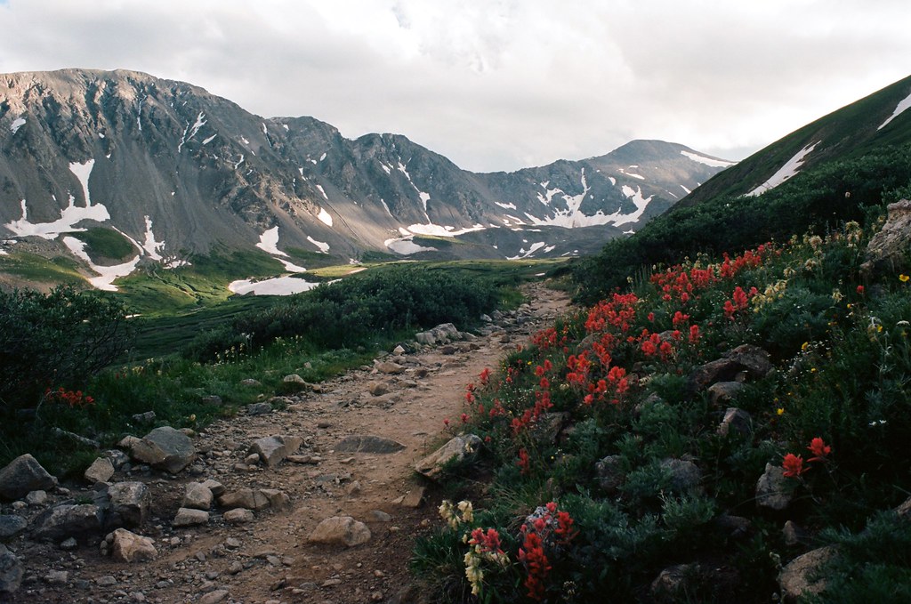 Kelso MountainHiking · ~4 min drivePhoto: MCA / Mike Allyn, CC BY 2.0 (via Flickr)Torreys PeakHiking · ~4 min drivePhoto: MCA / Mike Allyn, CC BY 2.0 (via Flickr)Torreys SummitHiking · ~5 min drivePhoto: gregor_y, CC BY-SA 2.0 (via Flickr)
 Climbing TrailHiking · ~9 min drivePhoto: gregor_y, CC BY-SA 2.0 (via Flickr)Grays PeakHiking · ~4 min drivePhoto: MCA / Mike Allyn, CC BY 2.0 (via Flickr)
Map and trail data © OpenStreetMap contributors

