Site 6
Campground
Campground · < 0.1 mi from the trail
 Photo: Tony Webster, CC BY 2.0 (via Flickr)
Alert in the area
The Forest Service lists 8 alerts for Pike and San Isabel National Forests.
FSR 286, Radical Hill, is closed due to washouts and unsafe conditions
Agency alert covering Pike and San Isabel National Forests · USFS · Pike and San Isabel National Forests
Interlaken Hotel Tree Hazards
Agency alert covering Pike and San Isabel National Forests · USFS · Pike and San Isabel National Forests
Sharpe Fire Update
Agency alert covering Pike and San Isabel National Forests · USFS · Pike and San Isabel National Forests
Turquoise Lake Road (County Road 4) Closure
Agency alert covering Pike and San Isabel National Forests · USFS · Pike and San Isabel National Forests
Downed and weakened trees on South Platte Ranger District
Agency alert covering South Platte Ranger District · USFS · South Platte Ranger District
As of · Source: USFS · Pike and San Isabel National Forests. Agencies don't list every closure — check before you go.
Abyss Lake is a hard hike in Colorado's Pike and San Isabel National Forests, within the South Platte Ranger District. The route is an out-and-back of about 17 miles, with a total elevation gain of about 3,900 feet, from a low point of roughly 9,600 feet to a high of about 12,660 feet. The Forest Service manages the land, and the trail is natural-surfaced and open to horses. The most comfortable stretch for a visit is summer. Typical averages from the nearby Climax weather station, which sits about 1,300 feet lower, show July highs around 67°F and lows near 40°F, with no snow days. Winter is harsh, with highs in the upper 20s and snow on about half the days from December through February. The Burning Bear East Trailhead is the parking for this route, and the trip is open year-round. Burning Bear Campground sits just 0.1 mile away, and the Epaulet Mountain and Burning Bear hikes are both within a third of a mile. Geneva Park Campground is about 1.4 miles off.
Site 6
Campground
 If it rainsUser:Magicpiano, CC BY-SA 4.0 · Wikimedia Commons
Historic house-museum in Georgetown, Colorado, United States
Places © OpenStreetMap contributors · Photos: User:Magicpiano, CC BY-SA 4.0 (commons)
More in Idaho SpringsNo month here meets our mild-weather rule. Best months have typical highs of 55–85 °F, lows of 30 °F or warmer (32 °F where the station doesn't record snow), at most one snowy day and no more than 12 wet days.
Jan
27° / 3°
15 wet · 15 snow
Feb
29° / 3°
15 wet · 15 snow
Mar
35° / 8°
14 wet · 14 snow
Apr
40° / 15°
13 wet · 13 snow
May
49° / 25°
10 wet · 8 snow
Jun
61° / 34°
8 wet · 2 snow
Jul
67° / 40°
13 wet
Aug
64° / 39°
15 wet
Sep
58° / 32°
11 wet · 2 snow
Oct
47° / 21°
9 wet · 7 snow
Nov
35° / 11°
12 wet · 12 snow
Dec
27° / 3°
15 wet · 15 snow
Typical high / low (°F) and days with rain or snow, 1991–2020. Measured at Climax, CO, 27.7 mi away at 11,344 ft. The station sits about 1,300 ft lower than this place, so expect it a little cooler here. Source: NOAA NCEI U.S. Climate Normals 1991–2020.
Photo: Tony Webster, CC BY 2.0 (via Flickr)Epaulet Mountain
Next door
Route to the summit of Epaulet Mountain (13,537 ft) from Burning Bear / Abyss Lake Trailhead.
Photo: Tony Webster, CC BY 2.0 (via Flickr)Terminal Moraine Interp Loop
Next door
0.62-mile out-and-back trail in Colorado with 27 ft of elevation gain.
 Photo: jaygannett, CC BY-SA 2.0 (via Flickr)
Whiteside
~4 min drive
4.16-mile out-and-back trail in Colorado with 930 ft elevation gain.
 Photo: kalestews, CC BY 2.0 (via Flickr)
Silver Dollar Lake
~11 min drive
4.16-mile out-and-back to Silver Dollar Lake in Colorado at 12,199 ft.
 Photo: QKC, CC BY-SA 3.0 (via Wikimedia Commons)
Mount Edwards
~14 min drive
Route to the summit of Mount Edwards (13,839 ft) from Argentine Pass Trailhead.
Photo: jaygannett, CC BY-SA 2.0 (via Flickr)Geneva Creek
~4 min drive
2.46-mile out-and-back trail in Colorado with 630 ft elevation gain.
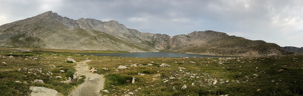 Photo: regexman, CC BY 2.0 (via Flickr)
Mount Blue Sky
~12 min drive
Standard route to Mount Blue Sky (14,264 ft) from Summit Lake.
 Photo: gregor_y, CC BY-SA 2.0 (via Flickr)
Mount Blue Sky Ridge
~12 min drive
4.34-mile out-and-back hike on Mount Blue Sky Ridge in Colorado, 1,096 ft gain, 14,170 ft max elevation.
HIKE
Mount Wilcox
~14 min drive
Route to the summit of Mount Wilcox (13,163 ft) from Argentine Pass Trailhead.
 Photo: versute, CC BY-SA 3.0 (via Wikimedia Commons)
Sawtooth Ridge Traverse
~9 min drive
1.40-mile trail in Colorado with 800 ft gain and 12,800 ft max elevation.

