Walk-in Camps
Campground
Campground · 0.8 mi from the trail
The Peak is a summit in California, 3003 feet elevation. It is reached by the public Skyline Trail, which passes within 150 meters of the summit. The trail is 5.74 miles long and gains 1930 feet of elevation.
Walk-in Camps
Campground
Savannah-Chanelle Vineyards
Bar
 If it rainsFlickr user roarofthefour, CC BY-SA 2.0 · Wikimedia Commons
California History Center
Museum
Places © OpenStreetMap contributors · Photos: Flickr user roarofthefour, CC BY-SA 2.0 (commons)
More in PescaderoDaily highs and lows, wind and the chance of precipitation at the summit and route start for the next 7 days, from the Open-Meteo model.
Elevation from USGS 3D Elevation Program terrain data (about 10 m resolution).
| Skyline Trail | John Nicholas Trail | |
|---|---|---|
| Climbing | About 1,930 ft | About 2,454 ft |
| Round trip | 5.7 mi | 6.0 mi |
| Difficulty | Moderate | Moderate |
| Terrain | Hike | Hike |
3,003 ft (915 m).
2: Skyline Trail and John Nicholas Trail.
Skyline Trail, about 5.7 mi round trip.
 Skyline TrailHikingPhoto: Vadim Manuylov, CC BY-SA 3.0 (via Wikimedia Commons)0.1 mi
 Peterson TrailHikingPhoto: Vadim Manuylov, CC BY-SA 3.0 (via Wikimedia Commons)0.8 miJohn Nicholas TrailHikingPhoto: Vadim Manuylov, CC BY-SA 3.0 (via Wikimedia Commons)0.8 mi
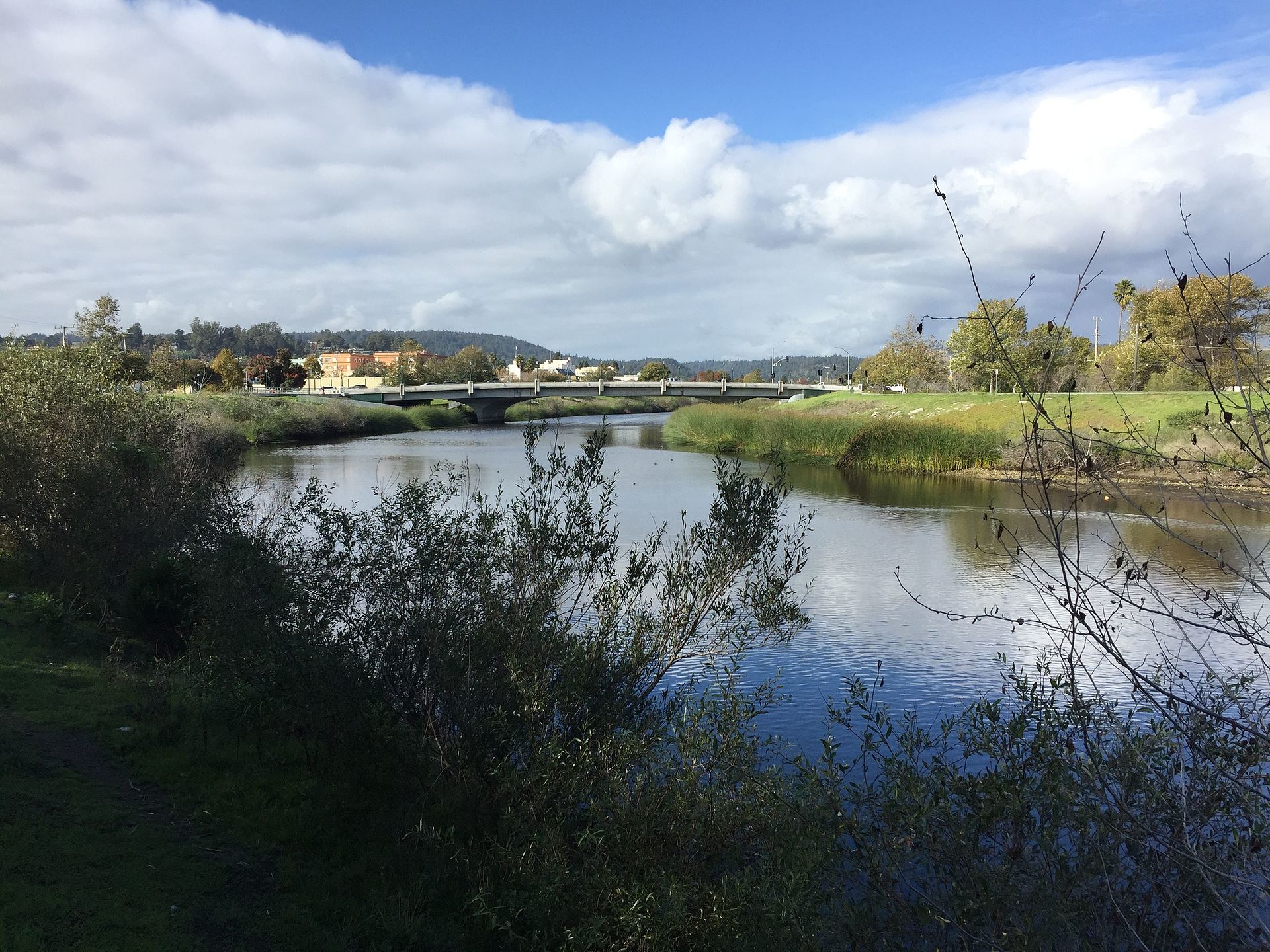 San Lorenzo RiverCanoeingPhoto: Chevy111, CC BY-SA 4.0 (via Wikimedia Commons)8.6 mi
Source: Roamze catalog (indexable pages within 10 miles, PostGIS distance)
 Black MountainSummit · ~14 min drivePhoto: Trovatore at English Wikipedia, Public domain (via Wikimedia Commons)
 Mount ThayerSummit · ~16 min drivePhoto: Thomson200, CC BY-SA 4.0 (via Wikimedia Commons)
 Borel HillSummit · ~17 min drivePhoto: Seberin, CC BY-SA 4.0 (via Wikimedia Commons)
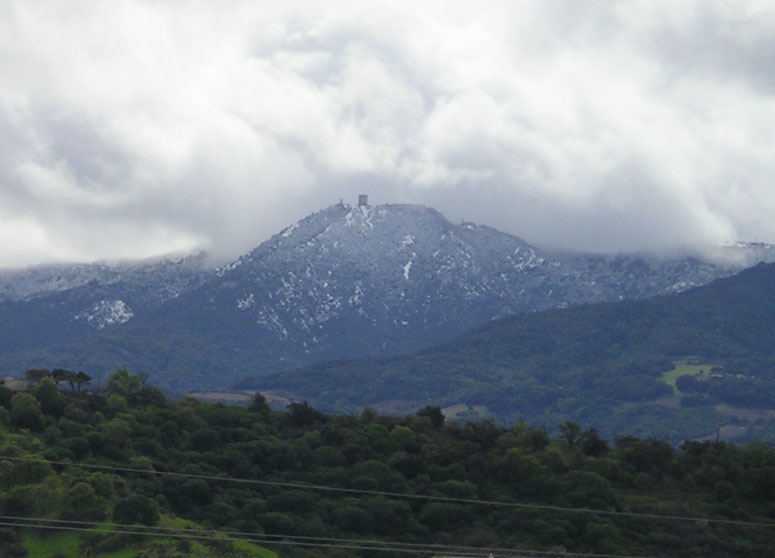 Mount UmunhumSummit · ~18 min drivePhoto: CC BY-SA 3.0 (via Wikimedia Commons)
 Loma PrietaSummit · ~25 min drivePhoto: DrHonzik, CC0 (via Wikimedia Commons)
 Tulare HillSummit · ~30 min drivePhoto: Wahn, CC BY-SA 3.0 (via Wikimedia Commons)
 Monument PeakSummit · ~37 min drivePhoto: Public domain (via Wikimedia Commons)
 Mount AllisonSummit · ~38 min drivePhoto: Oleg Alexandrov, CC BY-SA 3.0 (via Wikimedia Commons)
 Mission PeakSummit · ~39 min drivePhoto: ca2mi, CC BY-SA 4.0 (via Wikimedia Commons)
 El ToroSummit · ~39 min drivePhoto: Eugene Zelenko, CC BY-SA 4.0 (via Wikimedia Commons)
Also worth it near here
Skyline TrailHiking · Next doorPhoto: Vadim Manuylov, CC BY-SA 3.0 (via Wikimedia Commons) Lyme Disease RockRock climbing · ~2 min drivePhoto: npdoty, CC BY 2.0 (via Flickr)
 Summit Rock Loop TrailMountain biking · ~3 min drivePhoto: Vadim Manuylov, CC BY-SA 3.0 (via Wikimedia Commons)
Best months: April–November. Best months have typical highs of 55–85 °F, lows of 30 °F or warmer (32 °F where the station doesn't record snow), at most one snowy day and no more than 12 wet days.
Jan
55° / 41°
14 wet
Feb
55° / 40°
14 wet
Mar
58° / 41°
13 wet
Apr
62° / 43°
10 wet
May
67° / 47°
7 wet
Jun
75° / 52°
3 wet
Jul
81° / 58°
1 wet
Aug
81° / 59°
1 wet
Sep
79° / 57°
2 wet
Oct
71° / 52°
6 wet
Nov
60° / 44°
11 wet
Dec
54° / 40°
15 wet
Typical high / low (°F) and days with rain or snow, 1991–2020. Measured at Skyline Ridge Preserve, CA, 9 mi away at 2,270 ft. The station sits about 700 ft lower than this place, so expect it a little cooler here. This station doesn't record snowfall. Source: NOAA NCEI U.S. Climate Normals 1991–2020.
