Walk-in Camps
Campground
Campground · 1.5 mi from the trail
Mount Bielawski is a summit in California, about 4.8 miles from the town of Saratoga. For comfortable weather, aim for early fall. At a weather station about 8 miles away, typical averages in September run near 79°F for the high and 57°F for the low, with only a couple of wet days, and October cools to about 71°F. That station sits nearly 1,000 feet below the summit, so temperatures up high run cooler. Winter is the wettest stretch, with around 14 to 15 wet days a month. Climbers have several areas within half a mile, including Lyme Disease Rock, Yabo Zone and Underworld Rock. Hikers can reach Castle Rock Trail, also about 0.4 miles away.
Walk-in Camps
Campground
Savannah-Chanelle Vineyards
Bar
 If it rainsFlickr user roarofthefour, CC BY-SA 2.0 · Wikimedia Commons
California History Center
Museum
Places © OpenStreetMap contributors · Photos: Flickr user roarofthefour, CC BY-SA 2.0 (commons)
More in PescaderoDaily highs and lows, wind and the chance of precipitation at the summit and route start for the next 7 days, from the Open-Meteo model.
Elevation from USGS 3D Elevation Program terrain data (about 10 m resolution).
| Skyline Trail | Kings Creek Truck Trail | |
|---|---|---|
| Climbing | About 1,930 ft | About 3,162 ft |
| Round trip | 5.7 mi | 6.6 mi |
| Difficulty | Moderate | Hard |
| Terrain | Hike | Hike |
3,234 ft (986 m).
2: Skyline Trail and Kings Creek Truck Trail.
Skyline Trail, about 5.7 mi round trip.
 Lyme Disease RockRock climbingPhoto: npdoty, CC BY 2.0 (via Flickr)0.2 mi
 Yabo ZoneRock climbingPhoto: Doug Olson, CC BY-SA 3.0 (via Wikimedia Commons)0.3 miUnderworld RockRock climbingPhoto: npdoty, CC BY 2.0 (via Flickr)0.4 mi
 Castle Rock TrailHikingPhoto: npdoty, CC BY 2.0 (via Flickr)0.4 mi
 Ridge TrailHikingPhoto: Vadim Manuylov, CC BY-SA 3.0 (via Wikimedia Commons)0.9 mi
 Upper Madrone TrailHikingPhoto: TyB, CC BY 2.0 (via Flickr)1 mi
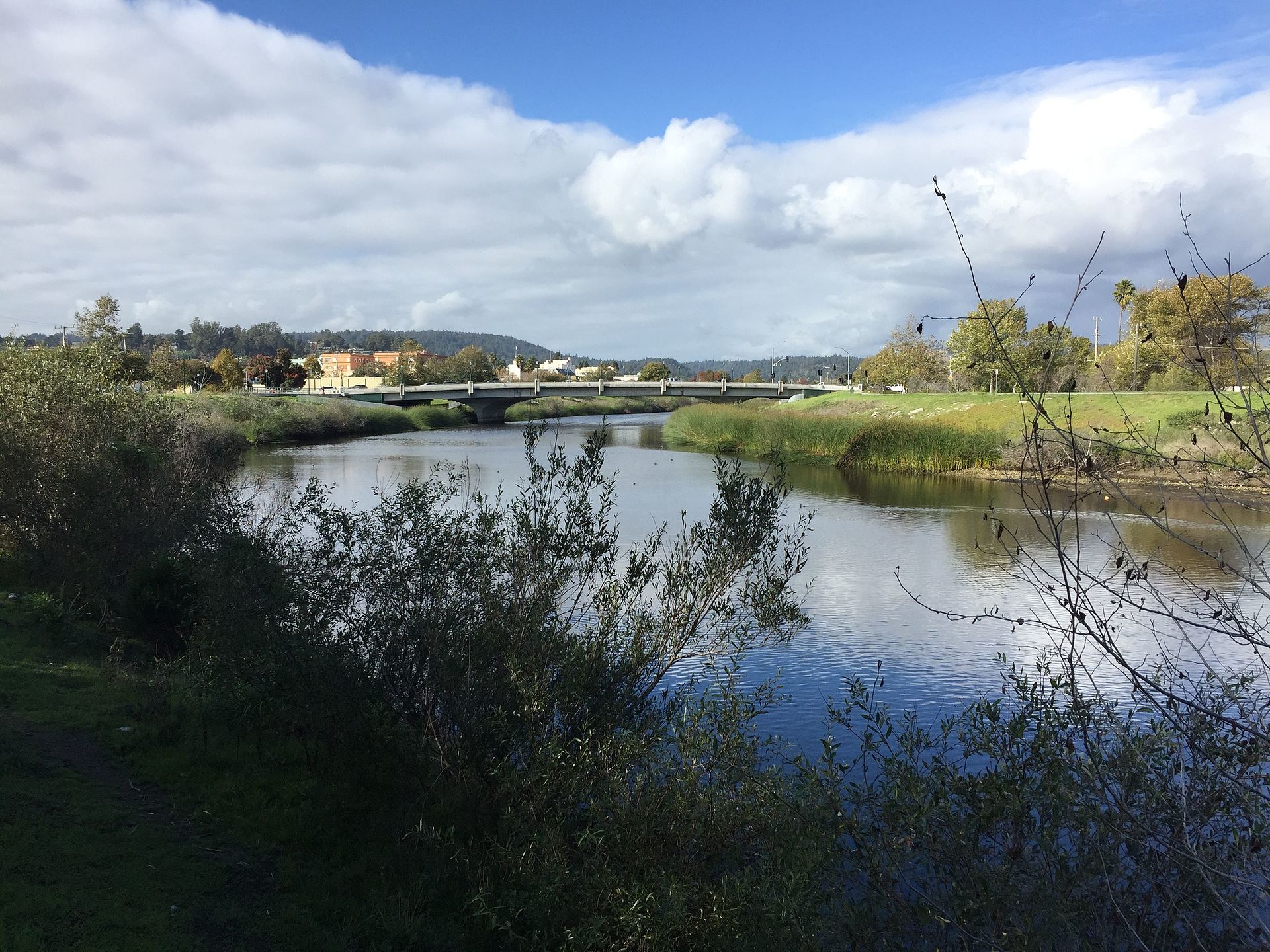 San Lorenzo RiverCanoeingPhoto: Chevy111, CC BY-SA 4.0 (via Wikimedia Commons)8.8 mi
Source: Roamze catalog (indexable pages within 10 miles, PostGIS distance)
 Black MountainSummit · ~12 min drivePhoto: Trovatore at English Wikipedia, Public domain (via Wikimedia Commons)
 Borel HillSummit · ~15 min drivePhoto: Seberin, CC BY-SA 4.0 (via Wikimedia Commons)
 Mount ThayerSummit · ~18 min drivePhoto: Thomson200, CC BY-SA 4.0 (via Wikimedia Commons)
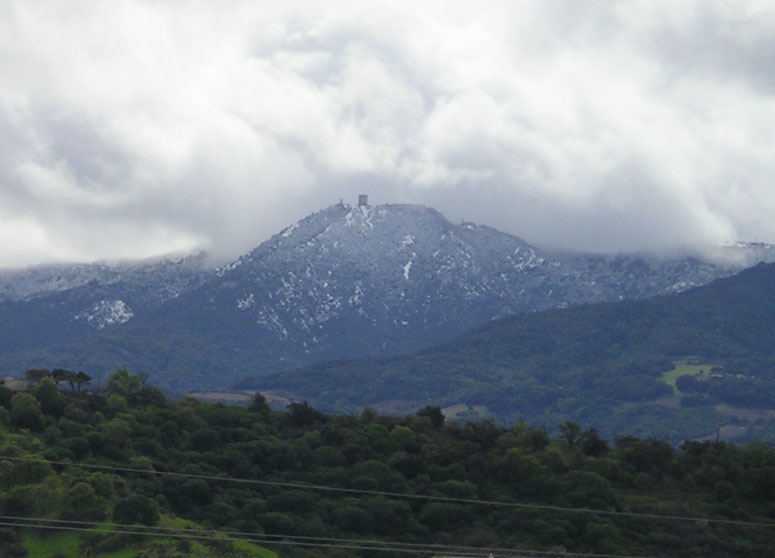 Mount UmunhumSummit · ~20 min drivePhoto: CC BY-SA 3.0 (via Wikimedia Commons)
 Loma PrietaSummit · ~27 min drivePhoto: DrHonzik, CC0 (via Wikimedia Commons)
 Tulare HillSummit · ~32 min drivePhoto: Wahn, CC BY-SA 3.0 (via Wikimedia Commons)
 Monument PeakSummit · ~38 min drivePhoto: Public domain (via Wikimedia Commons)
 Mount AllisonSummit · ~39 min drivePhoto: Oleg Alexandrov, CC BY-SA 3.0 (via Wikimedia Commons)
 Mission PeakSummit · ~40 min drivePhoto: ca2mi, CC BY-SA 4.0 (via Wikimedia Commons)
 Sugarloaf HillSummit · ~41 min drivePhoto: mliu92 from San Mateo, CC BY-SA 2.0 (via Wikimedia Commons)
Also worth it near here
Best months: April–November. Best months have typical highs of 55–85 °F, lows of 30 °F or warmer (32 °F where the station doesn't record snow), at most one snowy day and no more than 12 wet days.
Jan
55° / 41°
14 wet
Feb
55° / 40°
14 wet
Mar
58° / 41°
13 wet
Apr
62° / 43°
10 wet
May
67° / 47°
7 wet
Jun
75° / 52°
3 wet
Jul
81° / 58°
1 wet
Aug
81° / 59°
1 wet
Sep
79° / 57°
2 wet
Oct
71° / 52°
6 wet
Nov
60° / 44°
11 wet
Dec
54° / 40°
15 wet
Typical high / low (°F) and days with rain or snow, 1991–2020. Measured at Skyline Ridge Preserve, CA, 8 mi away at 2,270 ft. The station sits about 1,000 ft lower than this place, so expect it a little cooler here. This station doesn't record snowfall. Source: NOAA NCEI U.S. Climate Normals 1991–2020.
