Mount Thayer
 Photo: Thomson200, CC BY-SA 4.0 (via Wikimedia Commons)
- 3,490 ft
- summit
- Regional Agency Land
- managed by
- Apr–Nov
- best months
Mount Thayer is a summit of 3,490 feet in California's Sierra Azul Open Space Preserve, about 3.8 miles from the town of Lexington Hills. The land is managed by a regional agency, and the peak sits within the preserve's network of trails and climbing areas. Late spring and early fall are the most comfortable times to visit. Typical averages from a nearby weather station show May highs around 67°F and October highs around 71°F, with only a handful of wet days in each month. That station sits about 1,200 feet lower than the summit, so temperatures on top run cooler. The Mount Umunhum Trail starts about a mile away, and the Woods Trail is roughly 1.3 miles off. Climbers can head to Lower Guadalupe Rock, about 3.1 miles away, and paddlers will find Soquel Creek about 7.8 miles from the summit.
Conditions and forecast
Daily highs and lows, wind and the chance of precipitation at the summit for the next 7 days, from the Open-Meteo model.
- Summit elevation
- 3,490 ft
- Land manager
- Regional Agency Land
Elevation from USGS 3D Elevation Program terrain data (about 10 m resolution).
We don't know of a mapped trail or route to the summit of Mount Thayer. Plan the approach with local maps, a guidebook or a local guide, and check conditions before you go.
Questions about Mount Thayer
How tall is Mount Thayer?
3,490 ft (1,064 m).
Is there a trail to the top of Mount Thayer?
We don't know of a mapped trail or route to the summit. Plan the approach with local maps, a guidebook or a local guide.
- El Sombroso3,011 ft · California1 route1.1 mi away
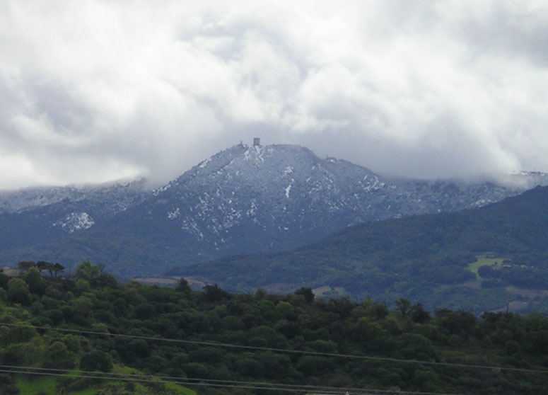 Mount Umunhum3,480 ft · California1 route1.2 mi awayPhoto: CC BY-SA 3.0 (via Wikimedia Commons)
- Bald Mountain2,387 ft · California1 route2.9 mi away
- Mine Hill1,737 ft · California1 route4.2 mi away
- Saint Josephs Hill1,250 ft · California1 route4.3 mi away
- Bear Creek Summit2,423 ft · California1 route5.8 mi away
 Mount Umunhum TrailHikingPhoto: czarcats, CC BY 2.0 (via Flickr)1.1 mi
 Woods TrailHikingPhoto: ilya_ktsn, CC BY 2.0 (via Flickr)1.3 mi
- Kennedy TrailHiking2.4 mi
- Lower Guadalupe RockRock climbing3.1 mi
- Roadside RockRock climbing3.2 mi
- Hicks RoadRock climbing3.3 mi
- Soquel CreekCanoeing7.8 mi
- Zayante CreekCanoeing7.9 mi
Source: Roamze catalog (indexable pages within 10 miles, PostGIS distance)
- Mount UmunhumSummit · ~2 min drivePhoto: CC BY-SA 3.0 (via Wikimedia Commons)
 Loma PrietaSummit · ~9 min drivePhoto: DrHonzik, CC0 (via Wikimedia Commons)
 Tulare HillSummit · ~17 min drivePhoto: Wahn, CC BY-SA 3.0 (via Wikimedia Commons)
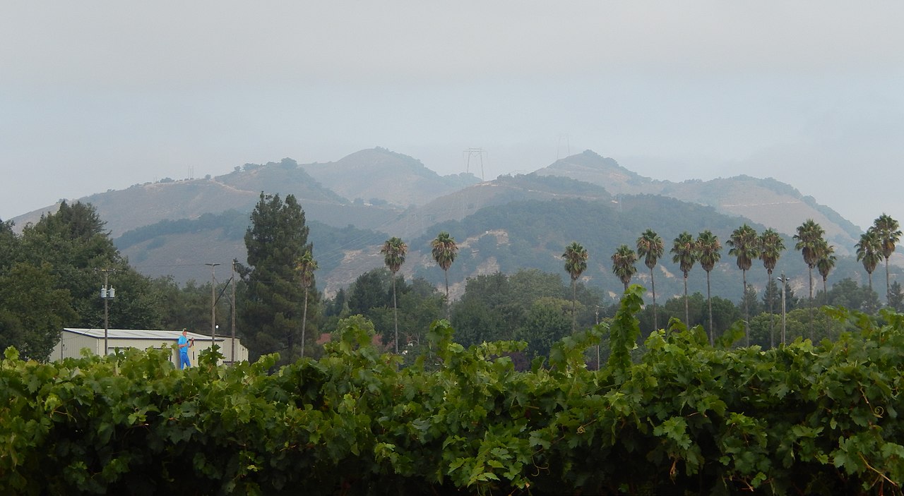 Twin PeaksSummit · ~24 min drivePhoto: Wahn, CC BY-SA 4.0 (via Wikimedia Commons)
 El ToroSummit · ~24 min drivePhoto: Eugene Zelenko, CC BY-SA 4.0 (via Wikimedia Commons)
 Mount MadonnaSummit · ~27 min drivePhoto: Wahn, CC BY-SA 4.0 (via Wikimedia Commons)
 Black MountainSummit · ~28 min drivePhoto: Trovatore at English Wikipedia, Public domain (via Wikimedia Commons)
 Lions PeakSummit · ~30 min drivePhoto: Wahn, CC BY-SA 4.0 (via Wikimedia Commons)
 Borel HillSummit · ~32 min drivePhoto: Seberin, CC BY-SA 4.0 (via Wikimedia Commons)
 Mount HamiltonSummit · ~34 min drivePhoto: No machine-readable author provided. Elf assumed (based on copyright claims)., CC BY-SA 3.0 (via Wikimedia Commons)
Best time to visit Mount Thayer
Best months: April–November. Best months have typical highs of 55–85 °F, lows of 30 °F or warmer (32 °F where the station doesn't record snow), at most one snowy day and no more than 12 wet days.
Jan
55° / 41°
14 wet
Feb
55° / 40°
14 wet
Mar
58° / 41°
13 wet
Apr
62° / 43°
10 wet
May
67° / 47°
7 wet
Jun
75° / 52°
3 wet
Jul
81° / 58°
1 wet
Aug
81° / 59°
1 wet
Sep
79° / 57°
2 wet
Oct
71° / 52°
6 wet
Nov
60° / 44°
11 wet
Dec
54° / 40°
15 wet
Typical high / low (°F) and days with rain or snow, 1991–2020. Measured at Skyline Ridge Preserve, CA, 17.9 mi away at 2,270 ft. The station sits about 1,200 ft lower than this place, so expect it a little cooler here. This station doesn't record snowfall. Source: NOAA NCEI U.S. Climate Normals 1991–2020.
