Main Camp
Campground
Campground · 1.4 mi from the trail
Castle Rock is a summit in California's Santa Clara Unit, about 4.7 miles from the town of Saratoga. It sits at 3,182 feet, and the Castle Rock Trail starts just 0.1 mile away, making it the natural way to reach the top. Late spring and early fall are the most comfortable times to go. Typical averages from a nearby weather station show May highs around 67°F and October highs around 71°F, with only a few wet days in each. That station sits about 900 feet lower, so temperatures on the summit run cooler. The Castle Rock area is a hub for both hiking and climbing. The Castle Rock Trail and the Ridge Trail are both within a mile, and the Castle Rock Proper and Mr Magoo Boulder climbing areas sit right next to the summit.
Main Camp
Campground
Savannah-Chanelle Vineyards
Bar
 If it rainsFlickr user roarofthefour, CC BY-SA 2.0 · Wikimedia Commons
California History Center
Museum
Places © OpenStreetMap contributors · Photos: Flickr user roarofthefour, CC BY-SA 2.0 (commons)
More in PescaderoDaily highs and lows, wind and the chance of precipitation at the summit and route start for the next 7 days, from the Open-Meteo model.
Elevation from USGS 3D Elevation Program terrain data (about 10 m resolution).
| Castle Rock Trail | Saratoga Gap Trail | |
|---|---|---|
| Climbing | About 710 ft | About 3,704 ft |
| Round trip | 1.2 mi | 4.6 mi |
| Difficulty | Easy | Hard |
| Terrain | Hike | Hike |
3,182 ft (970 m).
2: Castle Rock Trail and Saratoga Gap Trail.
Castle Rock Trail, about 1.2 mi round trip.

 The BeakRock climbingPhoto: npdoty, CC BY 2.0 (via Flickr)0.1 mi
 Mr Magoo BoulderRock climbingPhoto: npdoty, CC BY 2.0 (via Flickr)0.1 miCastle Rock ProperRock climbingPhoto: npdoty, CC BY 2.0 (via Flickr)0.1 miCastle Rock TrailHikingPhoto: npdoty, CC BY 2.0 (via Flickr)0.1 mi
 Ridge TrailHikingPhoto: Vadim Manuylov, CC BY-SA 3.0 (via Wikimedia Commons)0.6 mi
 Skyline TrailHikingPhoto: Vadim Manuylov, CC BY-SA 3.0 (via Wikimedia Commons)0.8 mi
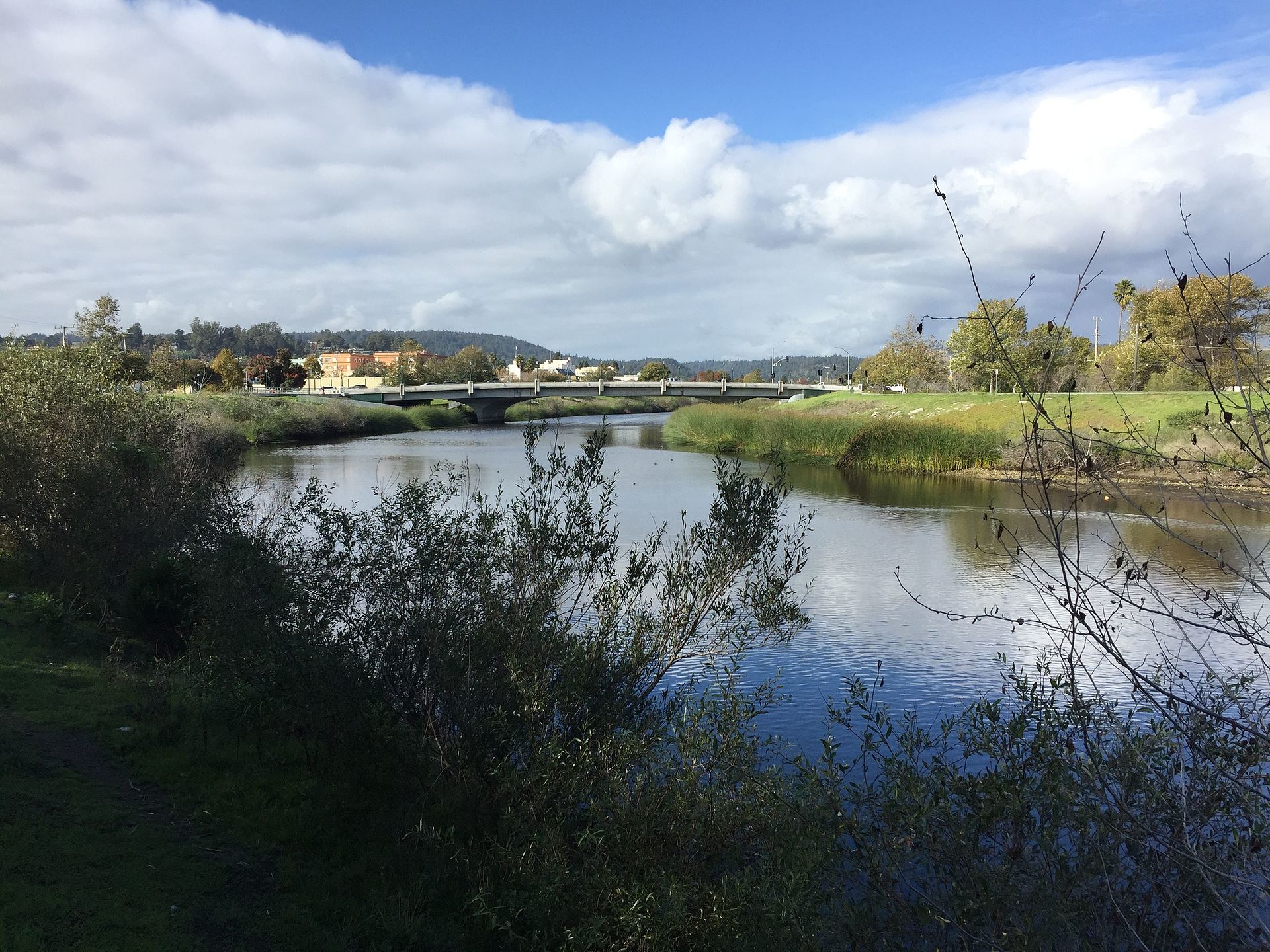 San Lorenzo RiverCanoeingPhoto: Chevy111, CC BY-SA 4.0 (via Wikimedia Commons)9.1 mi
Source: Roamze catalog (indexable pages within 10 miles, PostGIS distance)
Black MountainSummit · ~12 min drivePhoto: Trovatore at English Wikipedia, Public domain (via Wikimedia Commons) Borel HillSummit · ~15 min drivePhoto: Seberin, CC BY-SA 4.0 (via Wikimedia Commons)
 Mount ThayerSummit · ~18 min drivePhoto: Thomson200, CC BY-SA 4.0 (via Wikimedia Commons)
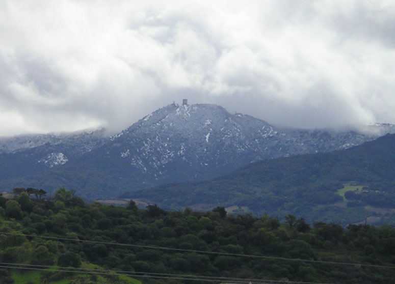 Mount UmunhumSummit · ~20 min drivePhoto: CC BY-SA 3.0 (via Wikimedia Commons)
 Loma PrietaSummit · ~28 min drivePhoto: DrHonzik, CC0 (via Wikimedia Commons)
 Tulare HillSummit · ~32 min drivePhoto: Wahn, CC BY-SA 3.0 (via Wikimedia Commons)
 Monument PeakSummit · ~37 min drivePhoto: Public domain (via Wikimedia Commons)
 Mount AllisonSummit · ~38 min drivePhoto: Oleg Alexandrov, CC BY-SA 3.0 (via Wikimedia Commons)
 Mission PeakSummit · ~39 min drivePhoto: ca2mi, CC BY-SA 4.0 (via Wikimedia Commons)
 Sugarloaf HillSummit · ~41 min drivePhoto: mliu92 from San Mateo, CC BY-SA 2.0 (via Wikimedia Commons)
Also worth it near here
Best months: April–November. Best months have typical highs of 55–85 °F, lows of 30 °F or warmer (32 °F where the station doesn't record snow), at most one snowy day and no more than 12 wet days.
Jan
55° / 41°
14 wet
Feb
55° / 40°
14 wet
Mar
58° / 41°
13 wet
Apr
62° / 43°
10 wet
May
67° / 47°
7 wet
Jun
75° / 52°
3 wet
Jul
81° / 58°
1 wet
Aug
81° / 59°
1 wet
Sep
79° / 57°
2 wet
Oct
71° / 52°
6 wet
Nov
60° / 44°
11 wet
Dec
54° / 40°
15 wet
Typical high / low (°F) and days with rain or snow, 1991–2020. Measured at Skyline Ridge Preserve, CA, 7.6 mi away at 2,270 ft. The station sits about 900 ft lower than this place, so expect it a little cooler here. This station doesn't record snowfall. Source: NOAA NCEI U.S. Climate Normals 1991–2020.

