Loading…

Whitney Butte Trail Start, Tulelake, Ca
Free — you'll pick up right here.
Watch this trail
Sign up to watch it — saving subscribes you to gate, closure and report changes.
California
We won't guess. Here is exactly what we do and don't know.
What we do know
Inside Lava Beds National Monument
3 managing-area boundaries mapped — agency alerts for them feed this page automatically.
Boundary data
What's missing
No access route mapped
We don't yet know which road reaches this trailhead, so we can't tell you if it's gated.
Nobody's filed a report here yet — be the first.
Whitney Butte Trail Start, Tulelake, Ca
AI-suggested draft · review before you go
No elevation data on file for this trail.
No permit or access details on file for this trail — check with the local land manager before you go.
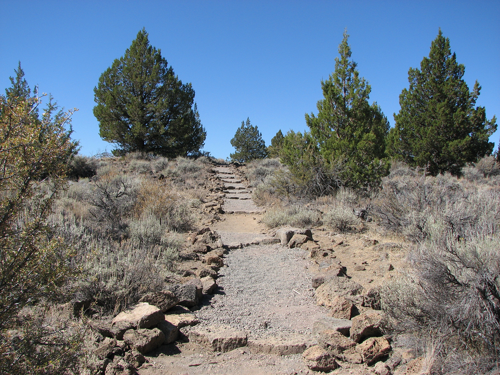
<p>From Merrill Cave parking area to the west boundary of the monument, this trail crosses the wilderness in an east-west direction, curving around Whitney Butte. Enjoy an impressive view of Mount Shasta and the Callahan Lava Flow. This trail is 3.3 miles (5.3 km) one way.<br /> <br /> <strong>Due to the impacts of the 2021 Antelope Fire we ask that visitors stay on the marked trail. </strong><br /> <br /> Lava Beds has twelve hiking trails. The most popular trails are short, but lead to interesting historic sites and geological features. Due to resource concerns, <strong>pets and bicycles are not permitted on any park trails, on in non-developed area or caves.</strong> All trails cross or enter the non-developed backcountry, while the long trails are primarily in designated wilderness areas. The trails in this bulletin are arranged by their distance from the visitor center. <strong>Carry plenty of water</strong> regardless of trail length—no surface water exists at Lava Beds. Watch for <strong>rattlesnakes </strong>and wear <strong>sunscreen </strong>and a hat in summer. Be prepared for sudden weather changes any time of year.</p> <p><strong>Pets, bicycles, hunting, and motorized vehicles are not permitted </strong>in wilderness areas. No person may camp in a nondeveloped or wilderness area with a group size of more than twelve, including horses and pack animals. Due to the dry nature of Lava Beds, especially in summer, <strong>open fires are not allowed at any time</strong> in the backcountry. Gas stoves are permitted. Other restrictions may apply during extreme fire conditions—please check with a ranger. <strong>Camping in or within 50 yards (46 km) of caves or in the vicinity of chimneys is not permitted</strong>. Camping within 0.25 miles (0.4 km) of roads, trailheads, and parking areas is also prohibited. Check at the visitor center for current weather information. <strong>Carry first aid supplies and let someone know where you are going and when you plan to return</strong>. <strong>Off-trail hiking is not recommended</strong>, as lava terrain is very rough. Please remember to leave no trace. If you pack it in, pack it out. Leave what you find. All historic and prehistoric objects, plants, animals, and rocks are protected. Please store your food securely and do not share your lunch with any wild animals.</p> <p>Horses and pack animals are only permitted on the Three Sisters, Lyons and Whitney Butte trails. <strong>All wilderness rules apply to horse and rider.</strong> Ride at a slow pace; the terrain is rough. Horse riders should carry plenty of water. Summer days are hot and there is no surface water for animals to drink from. Leg protectors are recommended for horses and riders. Be alert for rattlesnakes on the trail. Horses should be sprayed completely, especially on the legs, with a fly and tick spray.</p>
Schonchin Butte Trail Start, Tulelake, Ca
~3 min drive
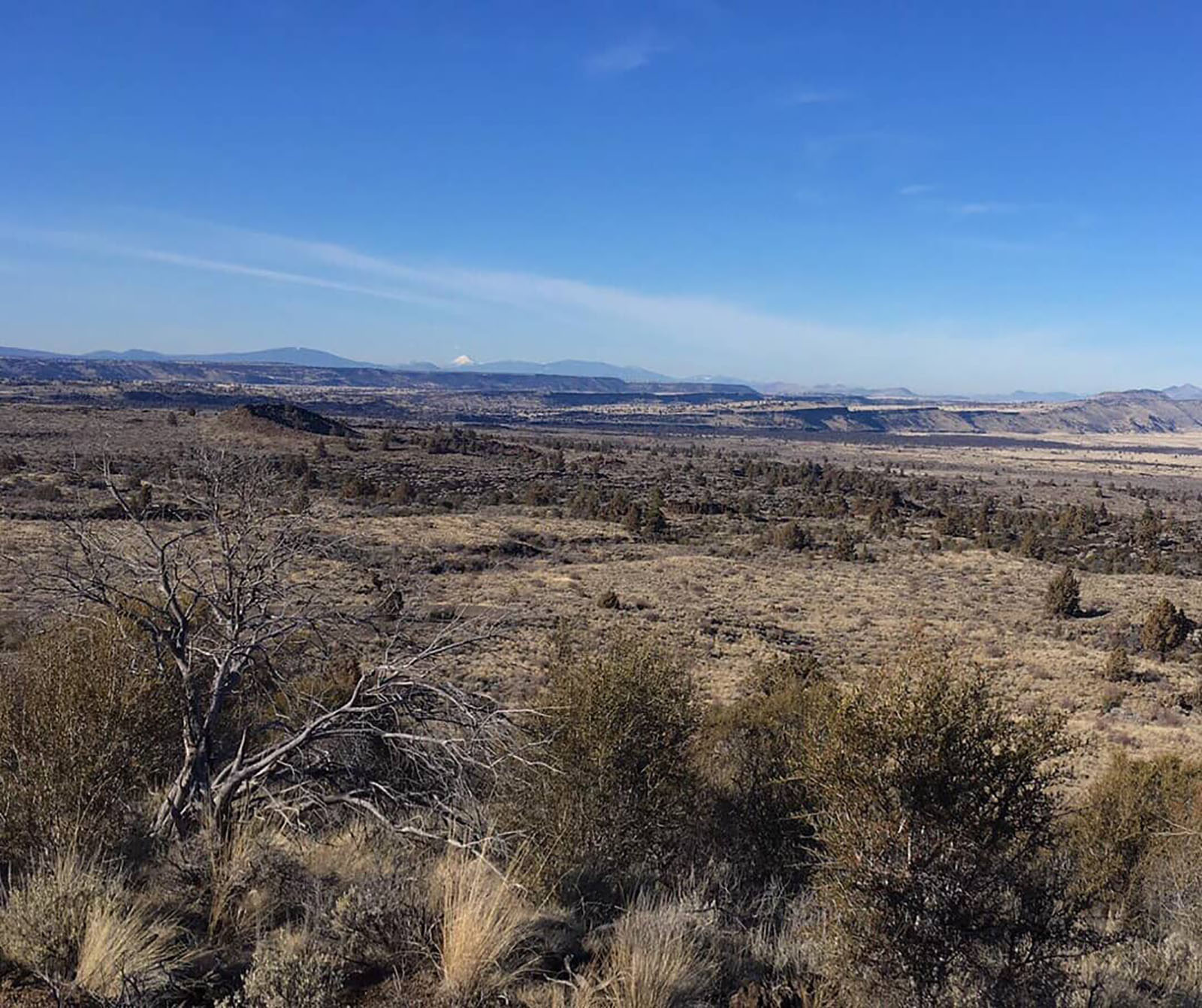
<p>This trail climbs 0.7 miles (1.4 km) to the fire lookout and a panoramic view. Trail has a 500 -foot elevation gain. You can be a guest of the lookout on duty in summer. Please stay on the designated trail and do not shortcut switchbacks.</p> <p>Lava Beds has twelve hiking…
Cinder Butte
~10 min drive
Short volcanic summit hike with panoramic views and moderate climbing.
Ml Rd 49
~12 min drive
Steady 4.6-mile foothill climb with moderate elevation gain.
Little Mount Hoffman Trail
~18 min drive
6.12-mile moderate hike with 678 ft gain in the Sierra Nevada.
Missing Link Trail Start, Tulelake, CA
~3 min drive
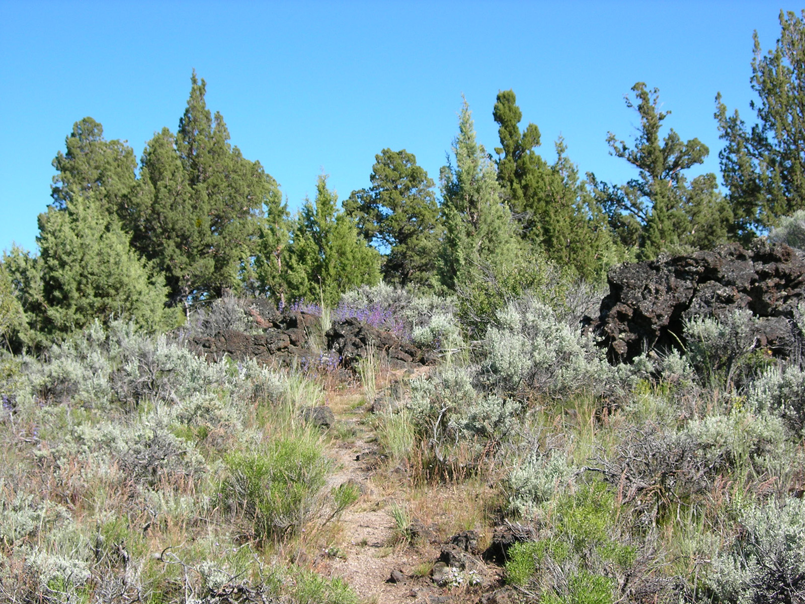
<p>This trail links the Three Sisters Trail to the Bunchgrass Trail, creating a 10-mile (16km) loop. Missing Link begins on the Bunchgrass Trail about 0.5 miles (0.8 km) from B-Loop in the campground. Hike on the Missing Link Trail for 0.7 mile (1.1 km) to reach the Skull Cave…
Medicine Lake Glass Flow Trail
~17 min drive
Easy volcanic glass flow walk with unique obsidian landscape views.
Baird Rr Grade Tie
~32 min drive
Easy 3.2-mile walk along a historic railroad grade with minimal elevation gain.
4 Mile Rd.
~19 min drive
Moderate 10-mile trail with 1,036 ft gain through California backcountry.
Symbol Bridge Trail Start, Tulelake, Ca
~3 min drive
<p>Winding 0.8 miles (1.3 km) past interesting lava tube collapses and other features, this trail leads to many fine pictographs at the bridge and cave. Take the Skull Cave road to the first parking area and trailhead. Across the road from the Symbol Bridge Trail, you will fin…
Medicine Lakeshore Trail
~17 min drive
Easy lakeside loop with scenic alpine views and minimal elevation gain.