Mountain · 1 route
Goosenest
8,281 ft · California
- Summit
- 8,281 ft
- Routes
- 1 way up
About Goosenest
Goosenest is a summit of 8,281 feet in the Goosenest Ranger District of Klamath National Forest in northern California, about 12 miles from the town of Mount Hebron. The Goosenest Trail starts just 0.1 mile away, and the Goosenest (from quarry) Trail is about 0.3 mile off, so either makes a natural way to approach the peak. For an overnight base, Martins Dairy Campground is about 5 miles away. Burnt Camp Trail and Juanita Lake Trail are both within about 8 miles.
Forecast on Goosenest
Daily highs and lows, wind and the chance of precipitation at the summit and route start for the next 7 days, from the Open-Meteo model.
Questions about Goosenest
How tall is Goosenest?
8,281 ft (2,524 m).
How many routes go to the summit of Goosenest?
One: Goosenest Trail.
Mountains nearby
 Mount Shasta14,150 ft · California3 routes21 mi awayPhoto: Frank Schulenburg, CC BY-SA 4.0 (via Wikimedia Commons)
- Misery Hill13,807 ft · California1 route22 mi away
 Black Butte6,328 ft · California1 route25 mi awayPhoto: KyleAndMelissa22 (talk) (Uploads), Public domain (via Wikimedia Commons)
- Gray Butte8,111 ft · California1 route26 mi away
 Boccard Point5,894 ft · Oregon1 route27 mi awayPhoto: Bureau of Land Management, Public domain (via Wikimedia Commons)
- Spring Hill4,285 ft · California2 routes27 mi away
Facts about this place
Where it is
- Goosenest Ranger District · Ranger district
- Klamath National Forest · National forest
- Nearest town
- Mount Hebron, California · 12 mi
Conditions
Active alerts for Klamath National Forest as of Oct 9, 2026:
Siskiyou Crest Seasonal Safety Closure
information · posted Aug 24, 2026
information · posted Aug 24, 2026
Trinity Alps Wilderness Area Restrictions
information · posted Aug 24, 2026
Wilderness Area Restrictions - Siskiyou , Marble Mountain, and Russian Wilderness
information · posted Aug 24, 2026
caution · posted Aug 24, 2026
Contact phone number for activity levels out of service - Please Use 530-643-0279
information · posted Aug 24, 2026
Camping Stay Limitations in the Klamath National Forest
information · posted Aug 24, 2026
Temporarily closure of approximately 3.5 miles of National Forest System Roads 47N01
caution · posted Aug 24, 2026
Source: USFS forest alerts
Nearby
 Goosenest TrailHikingPhoto: theforestprimeval, CC BY-SA 2.0 (via Flickr)0.1 mi
- Goosenest (from quarry) TrailHikingPhoto: theforestprimeval, CC BY-SA 2.0 (via Flickr)0.3 mi
- Martins Dairy CgCamping5.3 mi
- Burnt Camp TrailHiking7.7 mi
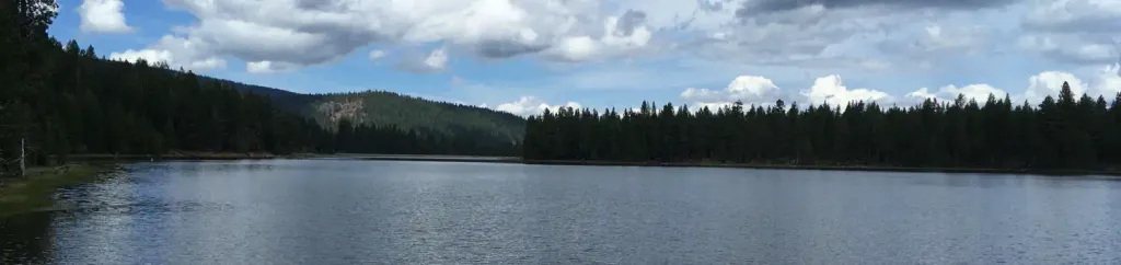 Juanita Lake Group CampsiteCampingPhoto: Recreation.gov (RIDB) / public domain8.3 mi
- Juanita Lake TrailHiking8.4 mi
- MUSKGRAVE CREEKHiking8.5 mi
- DEER MTN SHORT LOOPHiking9.3 mi
Source: Roamze catalog (indexable pages within 10 miles, PostGIS distance)
Is Goosenest open right now?
Alert in the area
The Forest Service lists 2 alerts for Klamath National Forest.
Temporarily closure of approximately 3.5 miles of National Forest System Roads 47N01
Agency alert covering Klamath National Forest · Order 05-05-00-26-08 · USFS · Klamath National Forest
Grayback Road Repairs
Agency alert covering Klamath National Forest · USFS · Klamath National Forest
As of · Source: USFS · Klamath National Forest. Agencies don't list every closure — check before you go.
