Caldwell Minor Trail
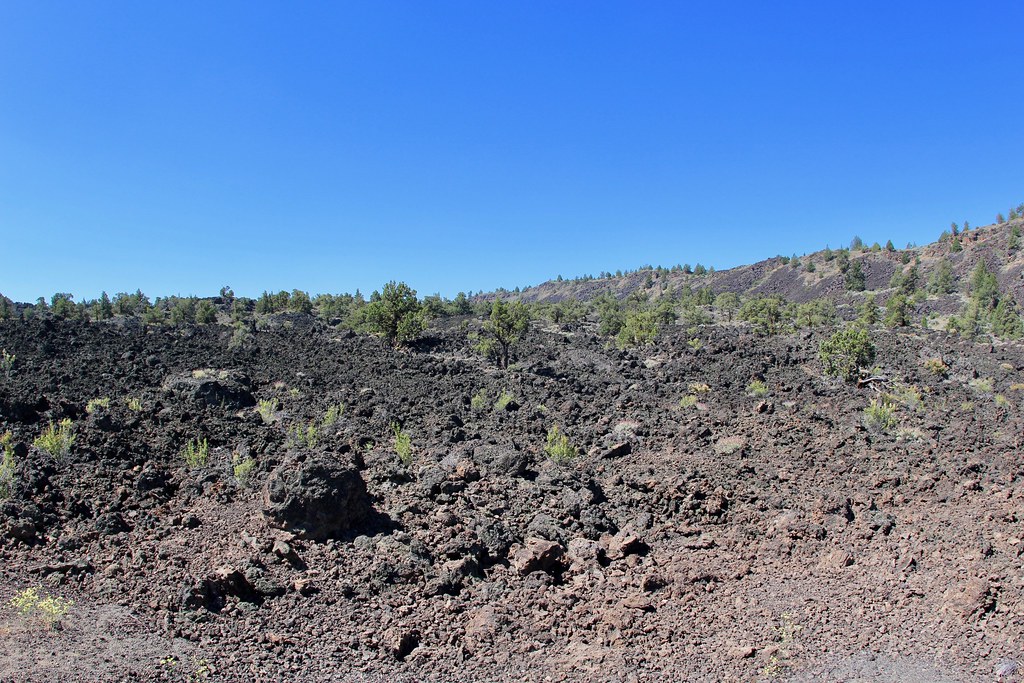
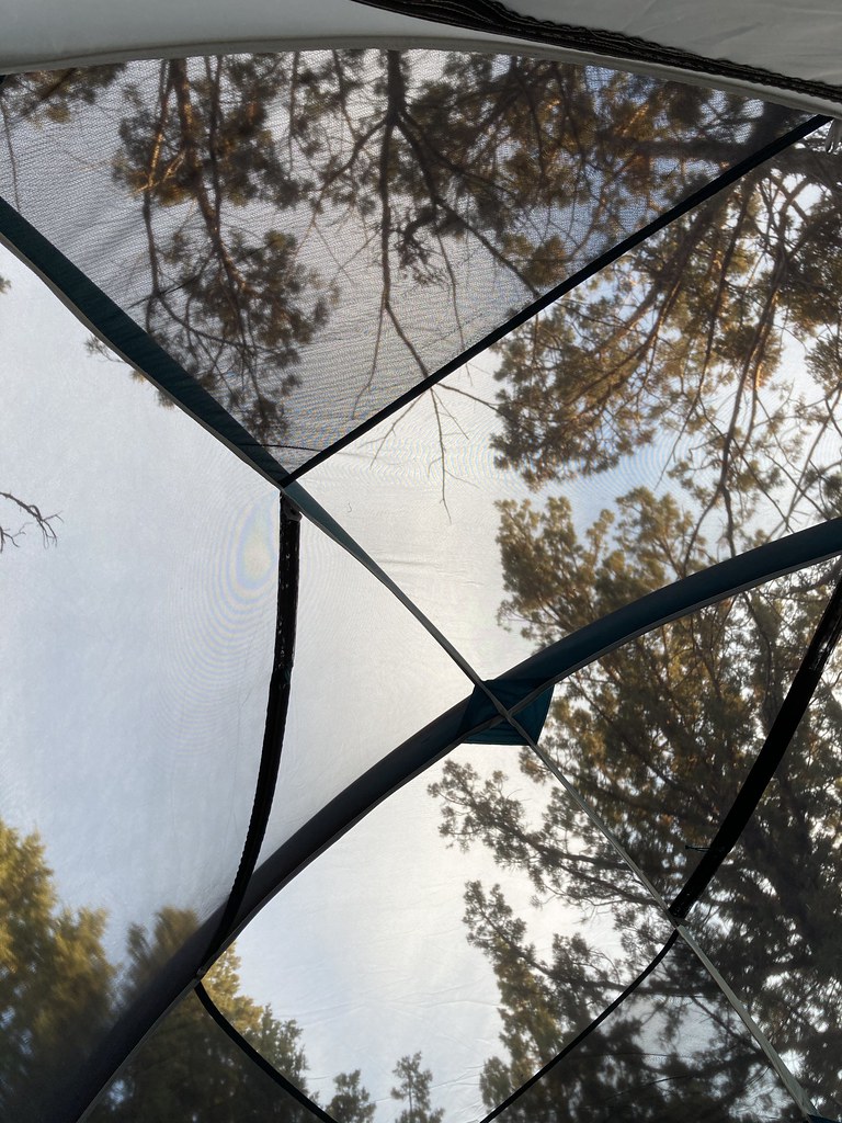 Photo: bgwashburn, CC BY 2.0 (via Flickr)
- 1.1 mi
- round trip
- 272 ft
- climb
- 4,630 ft
- high point
- Out and back
- route
- May–Jun, Sep–Oct
- best months
Is Caldwell Minor Trail open right now?
Alert in the area
The Forest Service lists an alert for Modoc National Forest.
Forest Fire Restrictions 2026 have been lifted as of 09/27/2026
Agency alert covering Modoc National Forest · USFS · Modoc National Forest
As of · Source: USFS · Modoc National Forest. Agencies don't list every closure — check before you go.
Caldwell Minor Trail is a short, easy hike in Lava Beds National Monument, managed by the National Park Service. It sits within the Doublehead Ranger District of Modoc National Forest, about 1 mile from Tulelake, California. The trail is an out-and-back that covers about 2 miles round trip, with a total climb of 272 feet. The steepest stretch comes at about 0.9 miles in, where the grade reaches 7%. The route starts at roughly 4,579 feet and reaches a high point of about 4,630 feet. For comfortable weather, aim for late spring or early fall. Typical averages from a nearby weather station show May highs around 66°F and September highs around 78°F, while July and August average about 86°F. Winter brings frequent snow days, with highs in the low 40s. Several other trails start close by. Bunchgrass Trail Start is about half a mile away, and Symbol Bridge Trail Start and Lyons Trail Start are each about a mile off. Three Sisters Trail lies about 1.5 miles away.
Local outfitters
- Crater Lake Zipline and Kayak Tours38 mi away
- Yamsi Fly Fishing38 mi away
Not on Roamze yet. Their page has how to reach them.
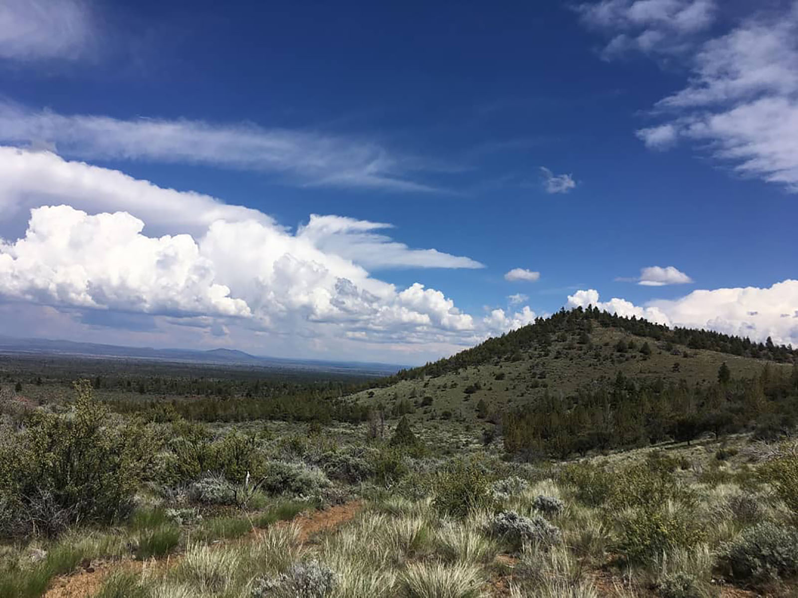 Bunchgrass Trail Start, Tulelake, CAHikingPhoto: NPS photo by Ranger Aimee0.5 mi
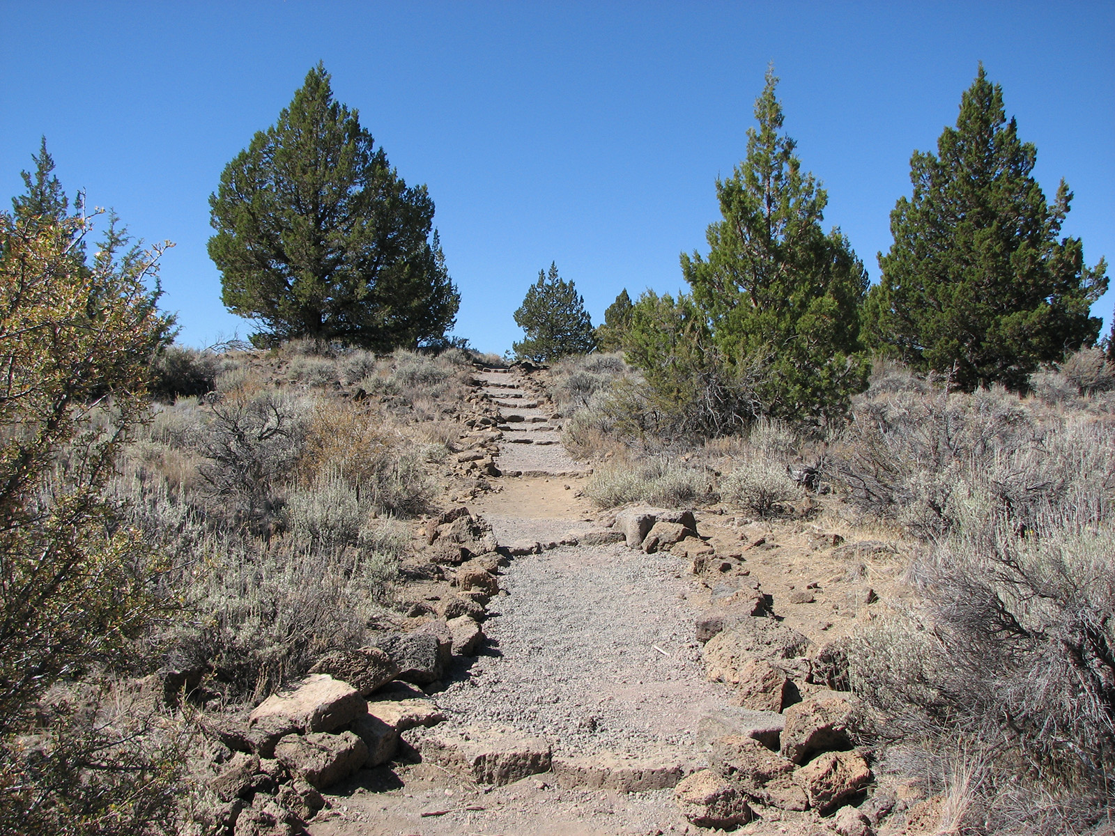 Symbol Bridge Trail Start, Tulelake, CaHiking1.1 mi
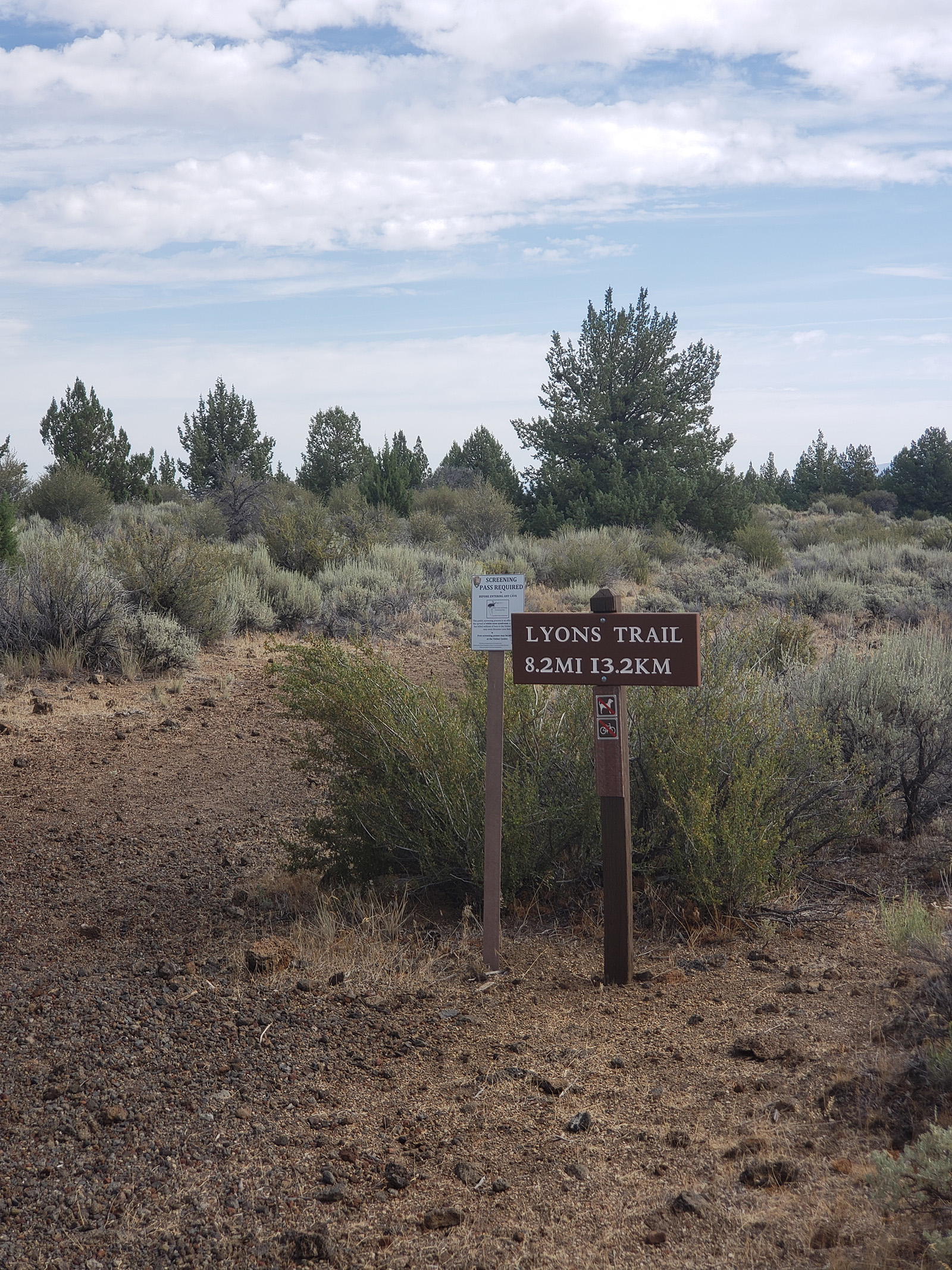 Lyons Trail Start, Tulelake, CaHiking1.2 mi
- Three Sisters TrailHiking1.5 mi
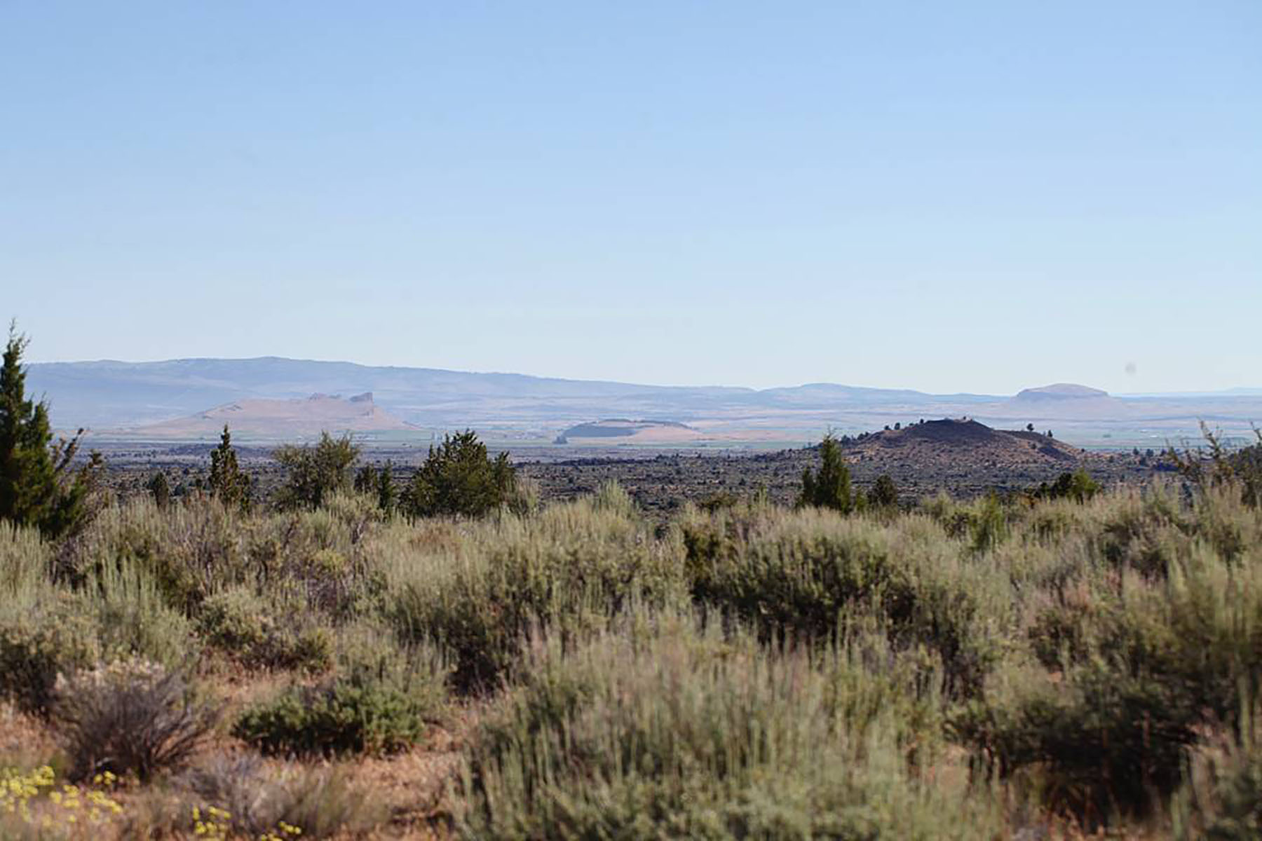 Three Sisters Trail Start, Tulelake, CaHiking1.8 mi
 Schonchin Lookout TrailHikingPhoto: Schonchin, CC BY-SA 3.0 (via Wikimedia Commons)2.2 mi
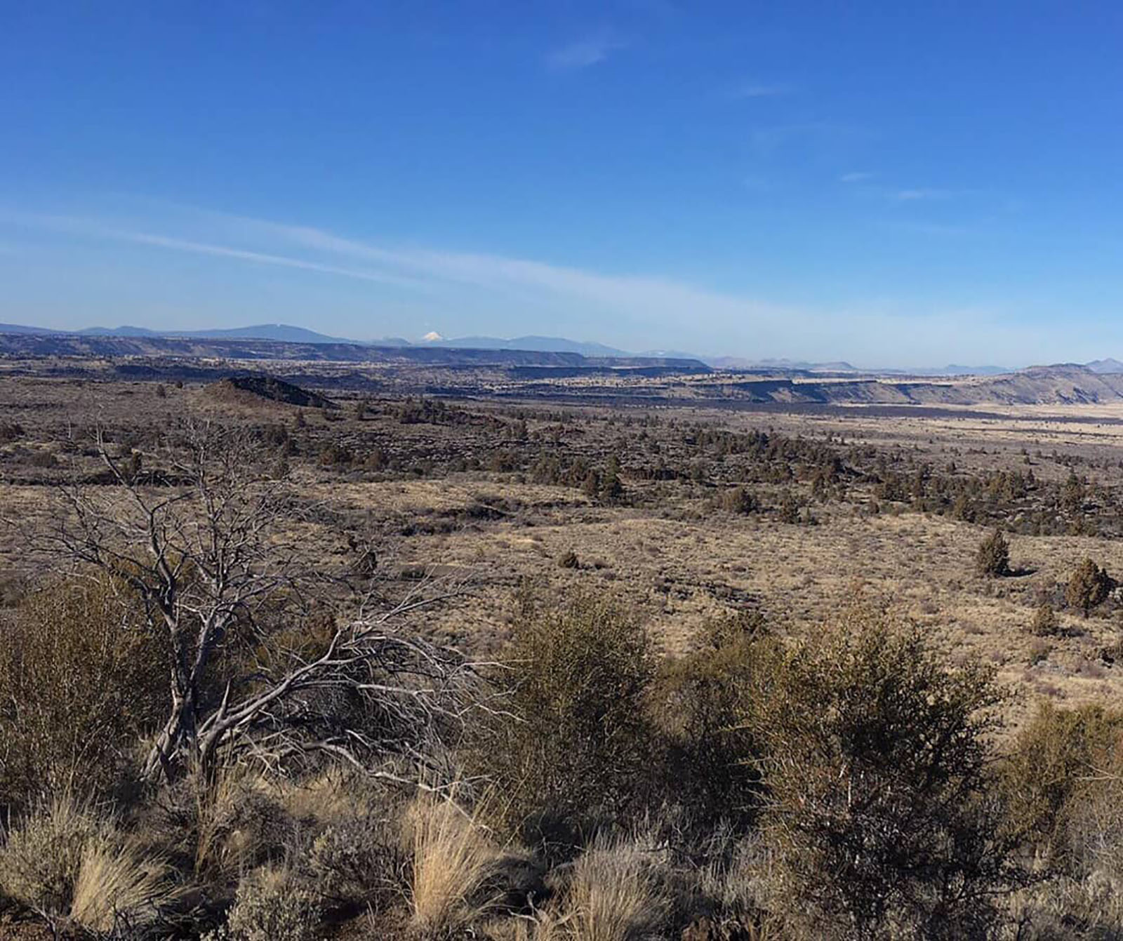 Schonchin Butte Trail Start, Tulelake, CaHikingPhoto: NPS photo by Ranger Aimee2.2 mi
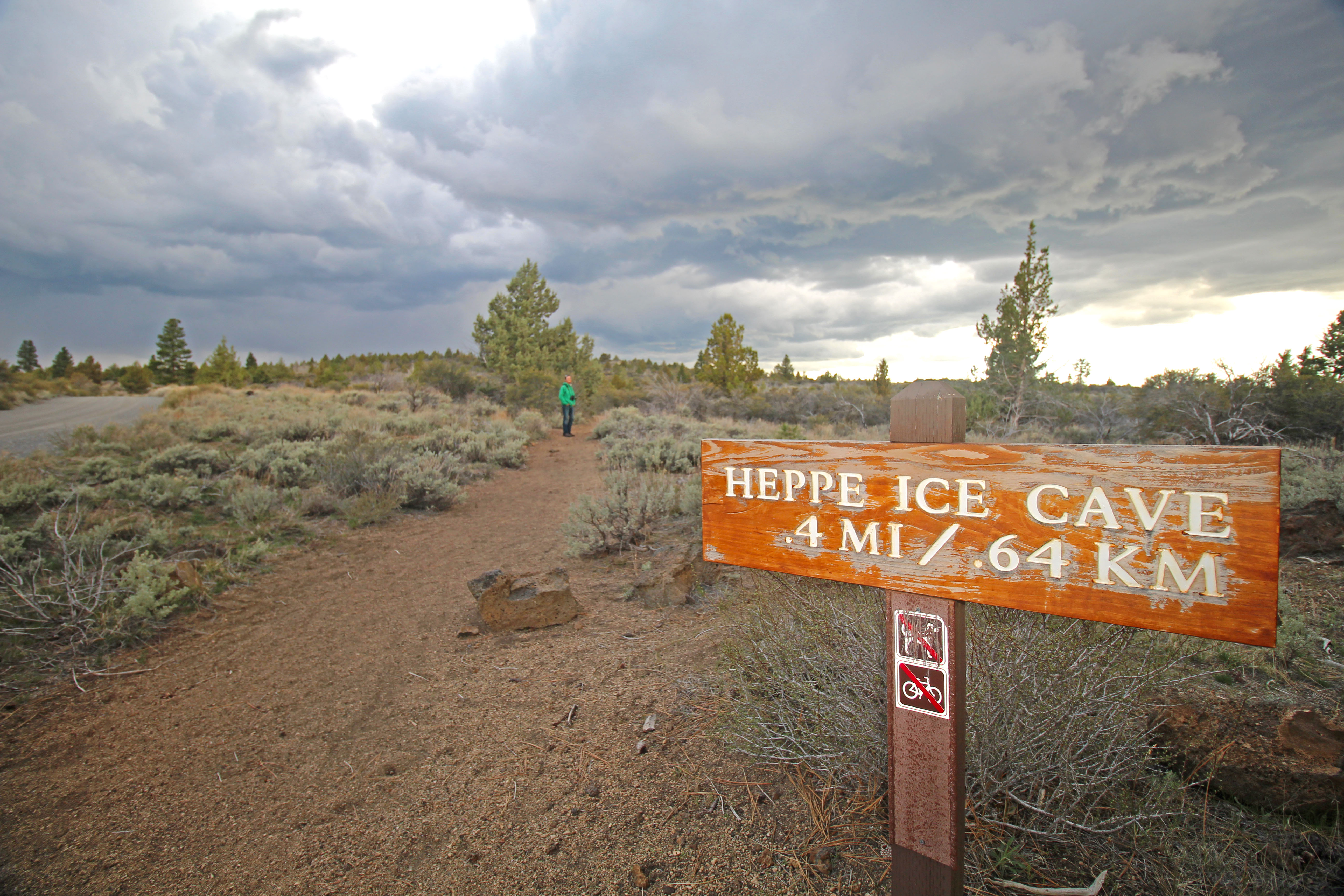 Heppe Cave Trail Start, Tulelake, CAHiking2.5 mi
Source: Roamze catalog (indexable pages within 10 miles, PostGIS distance)
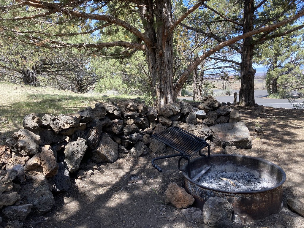 Indian Well CampgroundHiking · Next doorPhoto: bgwashburn, CC BY 2.0 (via Flickr)
- Schonchin Butte Trail Start, Tulelake, CaHiking · ~4 min drive
 Gold Digger Pass TrailHiking · ~10 min drivePhoto: daveynin, CC BY 2.0 (via Flickr)
 Little Mount Hoffman TrailHiking · ~19 min drivePhoto: ex_magician, CC BY 2.0 (via Flickr)
- Bunchgrass Trail Start, Tulelake, CAHiking · Next door
- Heppe Cave Trail Start, Tulelake, CAHiking · ~4 min drive
- Three Sisters TrailHiking · ~3 min drive
- Lyons TrailHiking · ~7 min drive
- Symbol Bridge Trail Start, Tulelake, CaHiking · ~2 min drive
- Whitney Butte Trail Start, Tulelake, CaHiking · ~5 min drive
Best time to visit Caldwell Minor Trail
Best months: May–June and September–October. Best months have typical highs of 55–85 °F, lows of 30 °F or warmer (32 °F where the station doesn't record snow), at most one snowy day and no more than 12 wet days.
Jan
43° / 23°
10 wet · 6 snow
Feb
46° / 25°
9 wet · 5 snow
Mar
52° / 28°
11 wet · 6 snow
Apr
57° / 31°
10 wet · 4 snow
May
66° / 38°
8 wet · 1 snow
Jun
76° / 44°
6 wet
Jul
86° / 52°
3 wet
Aug
86° / 51°
2 wet
Sep
78° / 45°
3 wet
Oct
66° / 36°
5 wet · 1 snow
Nov
50° / 27°
9 wet · 3 snow
Dec
41° / 22°
9 wet · 5 snow
Typical high / low (°F) and days with rain or snow, 1991–2020. Measured at Lava Beds Nat Mon, CA, 1 mi away at 4,770 ft. Source: NOAA NCEI U.S. Climate Normals 1991–2020.

Map and trail data © OpenStreetMap contributors
