Robie Point
- 1,224 ft
- summit
- 2
- ways up
- Oct–May
- best months
Robie Point is a summit of 1,224 feet in Auburn State Recreation Area, about 1.3 miles from the town of Auburn, California. It sits at the center of a cluster of trails, with the Robie Point Fuel Break Trail and the Western States Trail;Robie Point Fuel Break Trail both starting within a tenth of a mile. Spring and fall are the most comfortable times to visit. Typical averages from a nearby weather station in Auburn show May and October highs around 77°F, while July and August average in the low 90s and winter brings the most wet days. The Tamaroo Bar Trail and Contour Trail are both within a third of a mile. Climbers can find the Auburn and Grass Valley area about 0.7 miles away and the Fins about 1.6 miles away.
Conditions and forecast
Daily highs and lows, wind and the chance of precipitation at the summit and route start for the next 7 days, from the Open-Meteo model.
- Summit elevation
- 1,224 ft
Elevation from USGS 3D Elevation Program terrain data (about 10 m resolution).
- Western States Trail;Robie Point Fuel Break TrailEasyabout 441 ft of climbing0.8 mi round trip
- Robie Point Fuel Break TrailModerateabout 1,221 ft of climbing1.5 mi round trip
Compare the routes Western States Trail;Robie Point Fuel Break Trail Robie Point Fuel Break Trail Climbing About 441 ft About 1,221 ft Round trip 0.8 mi 1.5 mi Difficulty Easy Moderate Terrain Hike Hike Map © Mapbox © OpenStreetMap contributors Questions about Robie Point
How tall is Robie Point?
1,224 ft (373 m).
How many routes go to the summit of Robie Point?
2: Western States Trail;Robie Point Fuel Break Trail and Robie Point Fuel Break Trail.
What is the shortest route up Robie Point?
Western States Trail;Robie Point Fuel Break Trail, about 0.8 mi round trip.
- Cock Robin Point2,480 ft · California1 route12 mi away
- Ophir Hill2,750 ft · California3 routes22 mi away
- Signal Peak7,843 ft · California1 route42 mi away
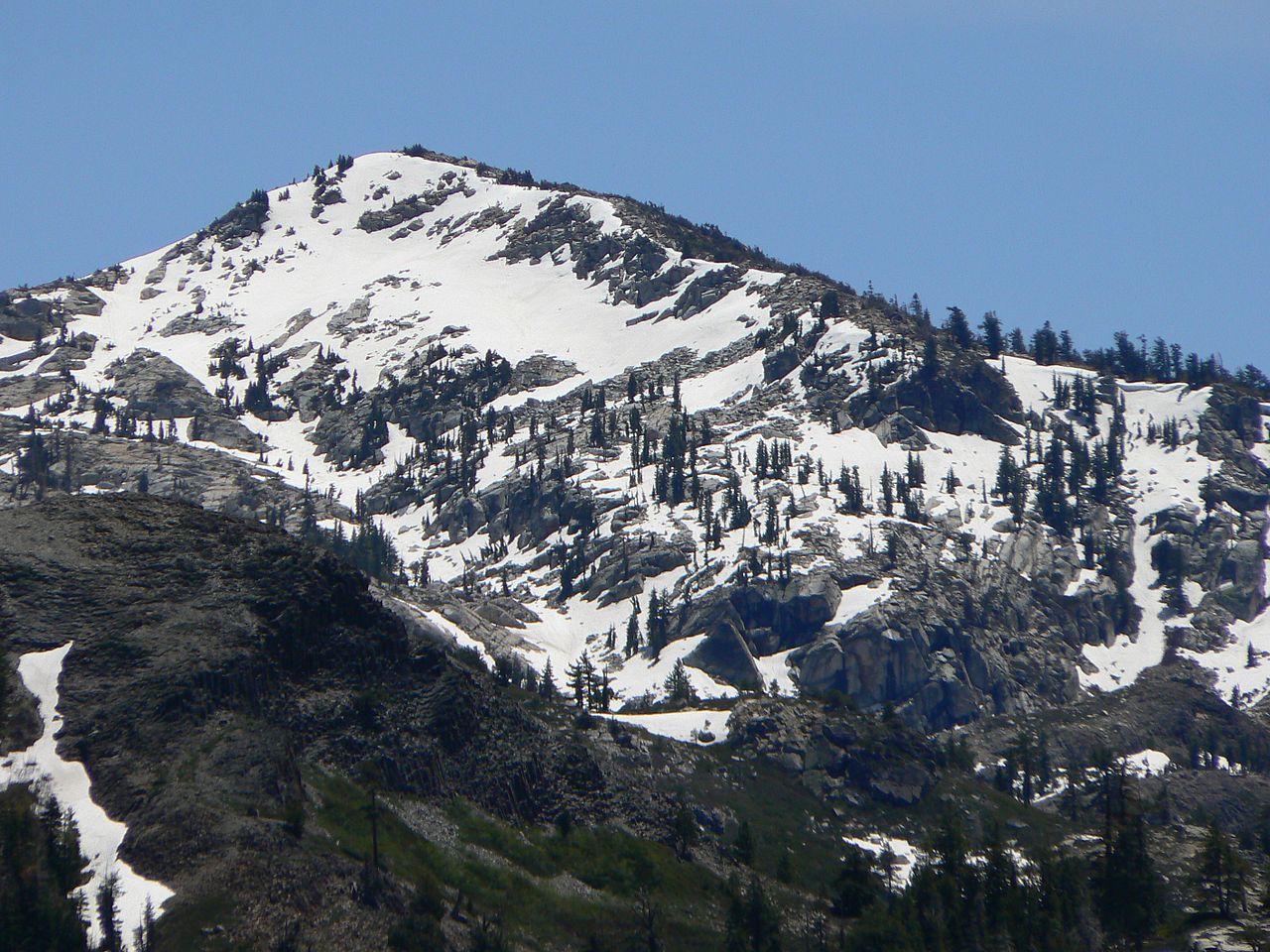 Tells Peak8,872 ft · California1 route43 mi awayPhoto: Nick Ares from Auburn, CA, United States, CC BY-SA 2.0 (via Wikimedia Commons)
- Mount Disney7,956 ft · California1 route47 mi away
 Anderson Peak8,687 ft · California1 route48 mi awayPhoto: Tim Berger, CC BY 2.0 (via Wikimedia Commons)
 Western States Trail;Robie Point Fuel Break TrailHikingPhoto: UncleVinny, CC BY 3.0 (via Wikimedia Commons)0.1 mi
 Robie Point Fuel Break TrailHikingPhoto: UncleVinny, CC BY 3.0 (via Wikimedia Commons)0.1 mi
 Tamaroo Bar TrailHikingPhoto: UncleVinny, CC BY 3.0 (via Wikimedia Commons)0.2 mi
 Contour TrailHikingPhoto: UncleVinny, CC BY 3.0 (via Wikimedia Commons)0.3 mi
- Auburn and Grass ValleyRock climbing0.7 mi
- FinsRock climbing1.6 mi
- Tall Green BridgeRock climbing1.8 mi
- Cave Valley (aka Auburn Quarry)Rock climbing2.4 mi
Source: Roamze catalog (indexable pages within 10 miles, PostGIS distance)
 Gold HillSummit · ~38 min drivePhoto: Cullen328, CC BY-SA 4.0 (via Wikimedia Commons)
 McConnell PeakSummit · ~1h 15m drivePhoto: photo by Travis Higdon, Public domain (via Wikimedia Commons)
 Granite ChiefSummit · ~1h 19m drivePhoto: Tim Berger from Fair Oaks, CA, CC BY 2.0 (via Wikimedia Commons)
 Mount PriceSummit · ~1h 21m drivePhoto: Jonathan Fox, CC BY-SA 2.0 (via Wikimedia Commons)
- Anderson PeakSummit · ~1h 22m drivePhoto: Tim Berger, CC BY 2.0 (via Wikimedia Commons)
 Tinker KnobSummit · ~1h 22m drivePhoto: Tim Berger, CC BY 2.0 (via Wikimedia Commons)
 Pyramid PeakSummit · ~1h 23m drivePhoto: Phreakdigital at English Wikipedia, Public domain (via Wikimedia Commons)
 Donner PeakSummit · ~1h 24m drivePhoto: Ken Lund, CC BY-SA 2.0 (via Wikimedia Commons)
 Castle PeakSummit · ~1h 25m drivePhoto: MiguelVieira, CC BY 2.0 (via Wikimedia Commons)
- Tells PeakSummit · ~1h 14m drivePhoto: Nick Ares from Auburn, CA, United States, CC BY-SA 2.0 (via Wikimedia Commons)
Best time to visit Robie Point
Best months: October–May. Best months have typical highs of 55–85 °F, lows of 30 °F or warmer (32 °F where the station doesn't record snow), at most one snowy day and no more than 12 wet days.
Jan
56° / 38°
11 wet
Feb
59° / 40°
10 wet
Mar
63° / 42°
9 wet
Apr
68° / 45°
7 wet
May
77° / 52°
5 wet
Jun
86° / 58°
2 wet
Jul
93° / 63°
0 wet
Aug
92° / 63°
1 wet
Sep
87° / 60°
1 wet
Oct
77° / 52°
3 wet
Nov
64° / 43°
7 wet
Dec
56° / 37°
10 wet
Typical high / low (°F) and days with rain or snow, 1991–2020. Measured at Auburn, CA, 2 mi away at 1,292 ft. This station doesn't record snowfall. Source: NOAA NCEI U.S. Climate Normals 1991–2020.
