Tuolumne Meadows Campground
Campground
Campground · 1.9 mi from the trail
 Photo: Eeekster, CC BY 3.0 (via Wikimedia Commons)
Closure in the area
There's a closure order in Yosemite National Park. It doesn't name Pothole Dome, so check the source for the area it covers.
Tioga and Glacier Point Roads are closed due snow
Park closure covering Yosemite National Park · NPS · Yosemite National Park
As of · Source: NPS · Yosemite National Park. Agencies don't list every closure — check before you go.
Pothole Dome is a summit of 8,801 feet in California's Yosemite Wilderness, within Yosemite National Park. The National Park Service manages the land, and the nearest town is Virginia Lakes, about 13 miles away. Summer is the most comfortable time to visit. Typical averages from the nearby Tuolumne Meadows weather station run to highs around 71°F in July with lows near 38°F, while winter highs sit in the low 40s and lows drop to about 12°F. The dome sits right beside the climbing areas of The Gunks and Razor Back, each within a mile, and the Budd Lake Trail starts about 0.8 miles away. Tuolumne Meadows Campground, roughly 2 miles off, is the closest place to camp.
Tuolumne Meadows Campground
Campground
Tuolumne Meadows Grill
Fast food
 If it rainsEeekster, CC BY 3.0 · Wikimedia Commons
Sierra Point
Viewpoint
Point in Yosemite National Park at the eastern end of the valley
Places © OpenStreetMap contributors · Photos: Eeekster, CC BY 3.0 (commons)
More in Yosemite ValleyDaily highs and lows, wind and the chance of precipitation at the summit for the next 7 days, from the Open-Meteo model.
Elevation from USGS 3D Elevation Program terrain data (about 10 m resolution).
We don't know of a mapped trail or route to the summit of Pothole Dome. Plan the approach with local maps, a guidebook or a local guide, and check conditions before you go.
8,801 ft (2,683 m).
We don't know of a mapped trail or route to the summit. Plan the approach with local maps, a guidebook or a local guide.


 The GunksRock climbingPhoto: endolith, CC BY-SA 2.0 (via Flickr)0.4 mi
 Razor BackRock climbingPhoto: pom'., CC BY-SA 2.0 (via Flickr)0.7 miNorth FaceRock climbingPhoto: pom'., CC BY-SA 2.0 (via Flickr)0.8 mi
 Budd Lake TrailHikingPhoto: dbaron, CC BY-SA 2.0 (via Flickr)0.8 mi
 Young Lakes TrailHikingPhoto: BOB PERRY, CC BY 3.0 (via Wikimedia Commons)0.9 mi
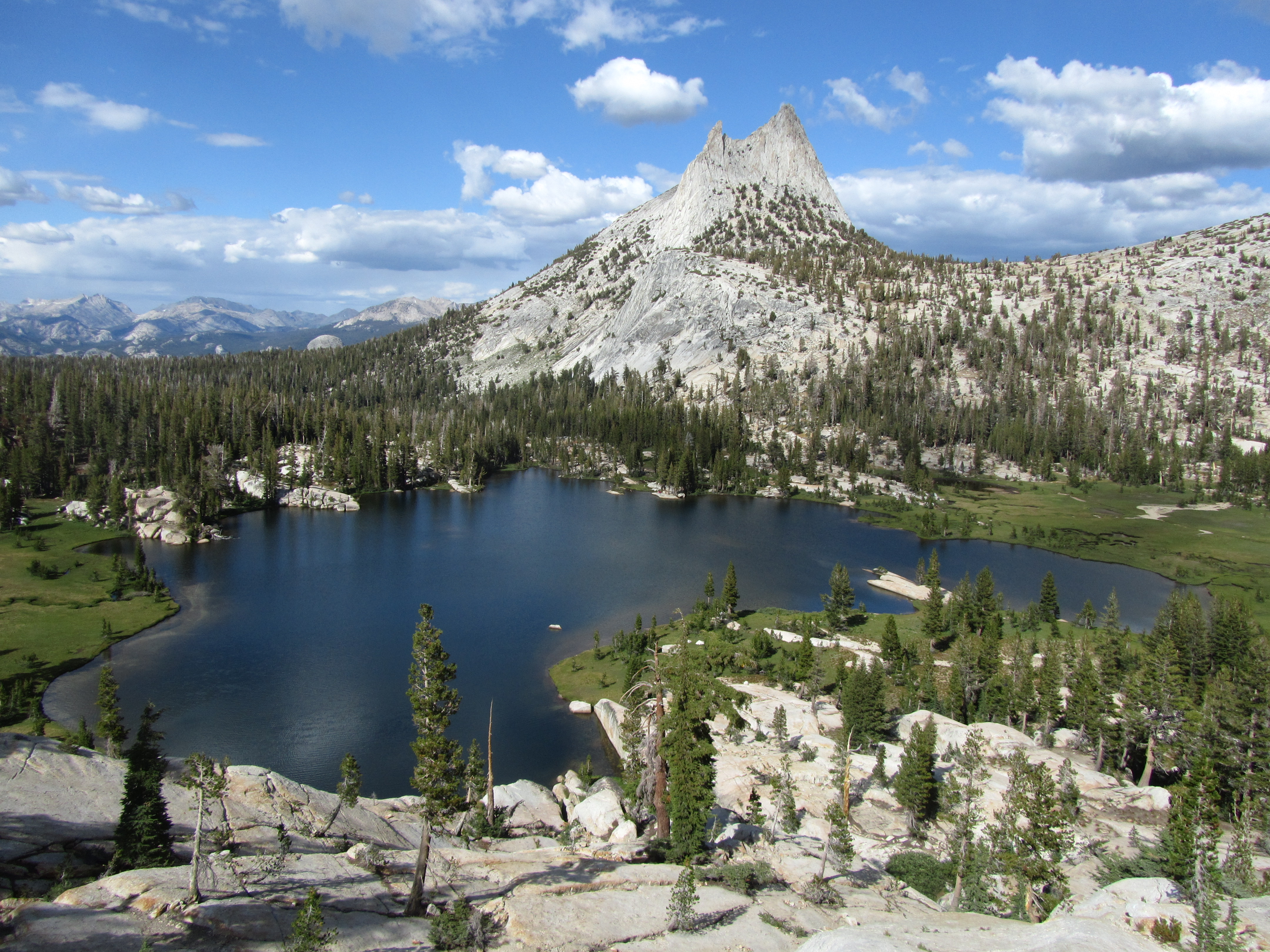 Cathedral Lakes TrailheadHiking1.2 mi
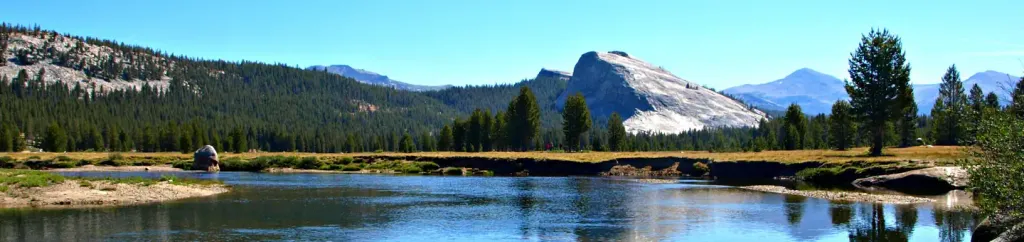 Tuolumne Meadows CampgroundCampingPhoto: Recreation.gov (RIDB) / public domain1.9 mi
 Tioga Lake CgCampingPhoto: waterarchives — CC BY-SA 2.0 (via Flickr)8.2 mi
Source: Roamze catalog (indexable pages within 10 miles, PostGIS distance)
 Fairview DomeSummit · ~1 min drivePhoto: Jarek Tuszyński, CC BY 4.0 (via Wikimedia Commons)
 Cathedral PeakSummit · ~4 min drivePhoto: Frank Kovalchek from Anchorage, Alaska, USA, CC BY 2.0 (via Wikimedia Commons)
 Medlicott DomeSummit · ~4 min drivePhoto: Jarek Tuszyński, CC BY 4.0 (via Wikimedia Commons)Lembert DomeSummit · ~4 min drivePhoto: Inklein, CC BY 3.0 (via Wikimedia Commons)
 Unicorn PeakSummit · ~4 min drivePhoto: Jarek Tuszyński, CC BY 4.0 (via Wikimedia Commons)
 Puppy DomeSummit · ~5 min drivePhoto: Pacific Southwest Region USFWS from Sacramento, US, Public domain (via Wikimedia Commons)
 Echo PeaksSummit · ~6 min drivePhoto: Jeffrey Pang from Berkeley, CA, USA, CC BY 2.0 (via Wikimedia Commons)
 Polly DomeSummit · ~6 min drivePhoto: Jarek Tuszyński, CC BY 4.0 (via Wikimedia Commons)Pywiack DomeSummit · ~6 min drivePhoto: Stan Shebs, CC BY-SA 3.0 (via Wikimedia Commons)
 Tresidder PeakSummit · ~6 min drivePhoto: Jarek Tuszyński, CC BY 4.0 (via Wikimedia Commons)
Best months: June–September. Best months have typical highs of 55–85 °F, lows of 30 °F or warmer (32 °F where the station doesn't record snow), at most one snowy day and no more than 12 wet days.
Jan
41° / 13°
Feb
38° / 12°
Mar
42° / 15°
Apr
45° / 22°
May
54° / 27°
Jun
65° / 33°
Jul
71° / 38°
Aug
70° / 36°
Sep
65° / 32°
Oct
57° / 26°
Nov
47° / 20°
Dec
40° / 12°
Typical high / low (°F) and days with rain or snow, 1991–2020. Measured at Tuolumne Meadows Rs, CA, 2.7 mi away at 8,694 ft. This station doesn't record snowfall. Source: NOAA NCEI U.S. Climate Normals 1991–2020.
