Jackson Flats
Campground
The next 6 weekends are full on Recreation.gov
 Photo: Ctatkinson, Public domain (via Wikimedia Commons)
Alert in the area
The Forest Service lists 7 alerts for Angeles National Forest.
Rincon-Redbox Road (2N24) Closure
Agency alert covering Angeles National Forest · Order 05-01-26-13 · USFS · Angeles National Forest
Fire Danger Level Elevated to "Very High"
Agency alert covering Angeles National Forest · USFS · Angeles National Forest
San Gabriel Canyon OHV Area Prohibitions
Agency alert covering Angeles National Forest · Order 05-01-26-09 · USFS · Angeles National Forest
San Dimas Experimental Forest Closure
Agency alert covering Angeles National Forest · USFS · Angeles National Forest
Eaton Fire Area Closure
Agency alert covering Angeles National Forest · Order 05-01-26-04 · USFS · Angeles National Forest
As of · Source: USFS · Angeles National Forest. Agencies don't list every closure — check before you go.
Mount Burnham is a summit of about 9,007 feet in Los Angeles County, California, within the San Gabriel Mountains National Monument Ranger District of Angeles National Forest. The Forest Service manages the land, and the nearest town is Wrightwood, about 9 miles away. Limber Pines Vista is the closest neighbor, under a mile away, with Dawson Saddle and Mine Gulch also within about 2 miles. For an overnight base, Big Rock campground sits about 2 miles off.
Jackson Flats
Campground
 If it rainsThomas Ormston from Darmstadt, Germany, CC BY 2.0 · Wikimedia Commons
Aviation museum in Palmdale, California, United States
Places © OpenStreetMap contributors, Places © Overture Maps Foundation · Photos: Thomas Ormston from Darmstadt, Germany, CC BY 2.0 (commons)
More in ActonDaily highs and lows, wind and the chance of precipitation at the summit for the next 7 days, from the Open-Meteo model.
Elevation from USGS 3D Elevation Program terrain data (about 10 m resolution).
We don't know of a mapped trail or route to the summit of Mount Burnham. Plan the approach with local maps, a guidebook or a local guide, and check conditions before you go.
9,007 ft (2,745 m).
We don't know of a mapped trail or route to the summit. Plan the approach with local maps, a guidebook or a local guide.


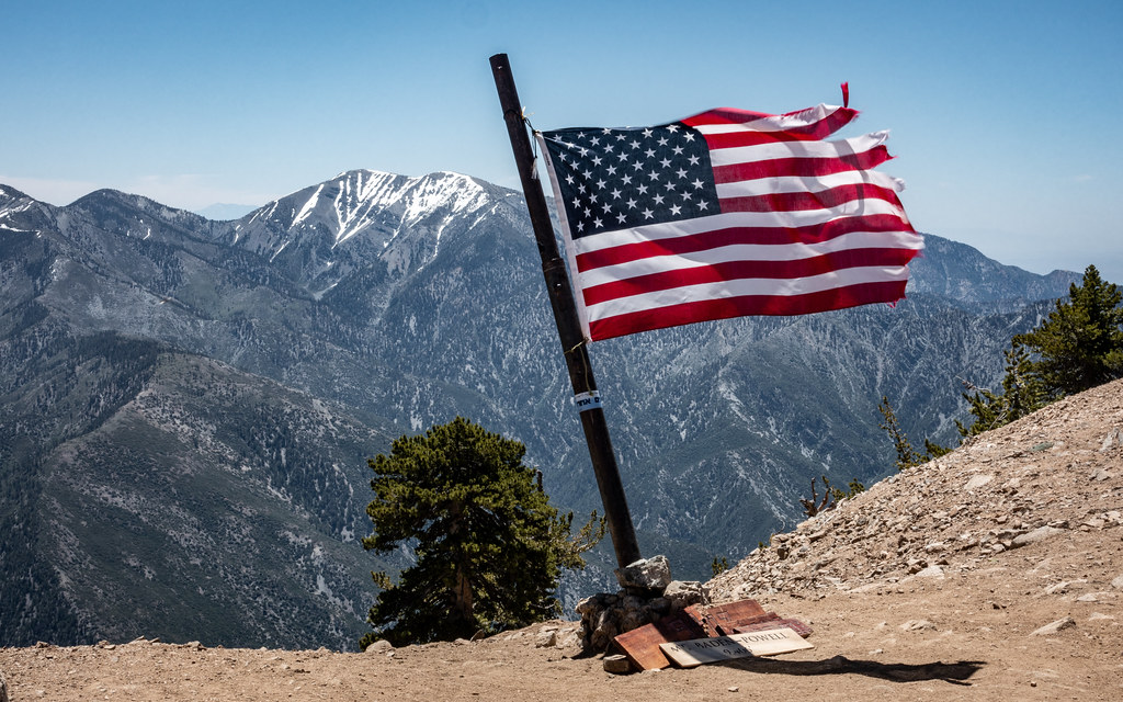 Limber Pines VistaHikingPhoto: mjhbower, CC BY-SA 2.0 (via Flickr)0.8 mi
 Dawson SaddleHikingPhoto: mjhbower, CC BY-SA 2.0 (via Flickr)1.4 mi
 Mine GulchHikingPhoto: mjhbower, CC BY-SA 2.0 (via Flickr)1.9 mi
 San Gabriel RiverCanoeingPhoto: Emarateyya, Muna Al Zaabi, CC BY-SA 3.0 (via Wikimedia Commons)9.4 mi
Source: Roamze catalog (indexable pages within 10 miles, PostGIS distance)
 Mount Baden-PowellSummit · ~2 min drivePhoto: The original uploader was Jakerome at English Wikipedia./ Simonov, CC BY-SA 2.0 (via Wikimedia Commons)
 Throop PeakSummit · ~2 min drivePhoto: Eeekster, CC BY 3.0 (via Wikimedia Commons)Mount IslipSummit · ~6 min drivePhoto: Eeekster, CC BY 3.0 (via Wikimedia Commons)Iron MountainSummit · ~11 min drivePhoto: Self, CC BY 3.0 (via Wikimedia Commons)
 Timber MountainSummit · ~23 min drivePhoto: Mitch Barrie (simonov), CC BY-SA 2.0 (via Wikimedia Commons)
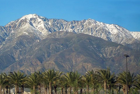 Cucamonga PeakSummit · ~25 min drivePhoto: Cliff Hutson; later cropping and color editing by Daniel Case., CC BY 2.0 (via Wikimedia Commons)
 Mount WilsonSummit · ~32 min drivePhoto: The original uploader was Geographer at English Wikipedia., CC BY 1.0 (via Wikimedia Commons)
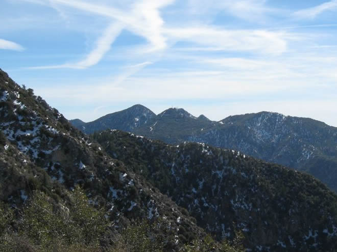 San Gabriel PeakSummit · ~34 min drivePhoto: Justin.Johnsen, CC BY 3.0 (via Wikimedia Commons)
 Mount DisappointmentSummit · ~34 min drivePhoto: Justin, CC BY-SA 2.0 (via Wikimedia Commons)
 Strawberry PeakSummit · ~34 min drivePhoto: Justin, CC BY-SA 2.0 (via Wikimedia Commons)
Also worth it near here
Limber Pines VistaHiking · ~1 min drivePhoto: mjhbower, CC BY-SA 2.0 (via Flickr) PCT Baden-PowellMountain biking · ~1 min drivePhoto: Tracie Hall from Orange County, us, CC BY-SA 2.0 (via Wikimedia Commons)
 Mountain HighDownhill skiing · ~9 min drivePhoto: Mtf612 at English Wikipedia, Public domain (via Wikimedia Commons)
