Mine Gulch
 Photo: mjhbower, CC BY-SA 2.0 (via Flickr)
- 8.4 mi
- round trip
- 2,227 ft
- climb
- 6,597 ft
- high point
- Out and back
- route
- Apr–Oct
- best months
Caution at last check
Agency alerts are in effect for this area; weather is good · USFS, OpenWeather · checked 19 h ago
Is Mine Gulch open right now?
Alert in the area
The Forest Service lists 7 alerts for Angeles National Forest.
Rincon-Redbox Road (2N24) Closure
Agency alert covering Angeles National Forest · Order 05-01-26-13 · USFS · Angeles National Forest
Fire Danger Level Elevated to "Very High"
Agency alert covering Angeles National Forest · USFS · Angeles National Forest
San Gabriel Canyon OHV Area Prohibitions
Agency alert covering Angeles National Forest · Order 05-01-26-09 · USFS · Angeles National Forest
San Dimas Experimental Forest Closure
Agency alert covering Angeles National Forest · USFS · Angeles National Forest
Eaton Fire Area Closure
Agency alert covering Angeles National Forest · Order 05-01-26-04 · USFS · Angeles National Forest
As of · Source: USFS · Angeles National Forest. Agencies don't list every closure — check before you go.
Mine Gulch is an out-and-back hike in California's Angeles National Forest, within the San Gabriel Mountains National Monument Ranger District. The Forest Service manages the land, and the trail is open year-round. The route is 8.4 miles long, rising from a low point of 4,483 feet to a high of 6,597 feet, for an elevation gain of 2,227 feet. The climb is hard, so plan on a full day on the trail. Spring and fall are the most comfortable times to go. Typical averages from a nearby weather station in Wrightwood run about 69°F in May and 64°F in October, with nights in the upper 30s. That station sits about 600 feet lower than the trail's high point, so temperatures up high run cooler. Bikes and horses are both allowed, and the trail surface is natural. The Boy Scout Trail and Fenner Saddle Trail start within a mile, and Jackson Flat Group campground is about a mile away. For climbing, Crystal Lake Wall is roughly 6 miles off.
- Boy Scout TrailHiking0.8 mi
- Fenner Saddle TrailHiking0.9 mi
 Jackson Flat InterpretiveHikingPhoto: Rennett Stowe, CC BY 2.0 (via Flickr)1.1 mi
- Jackson Flat GroupCamping1.2 mi
- Big RockCamping1.7 mi
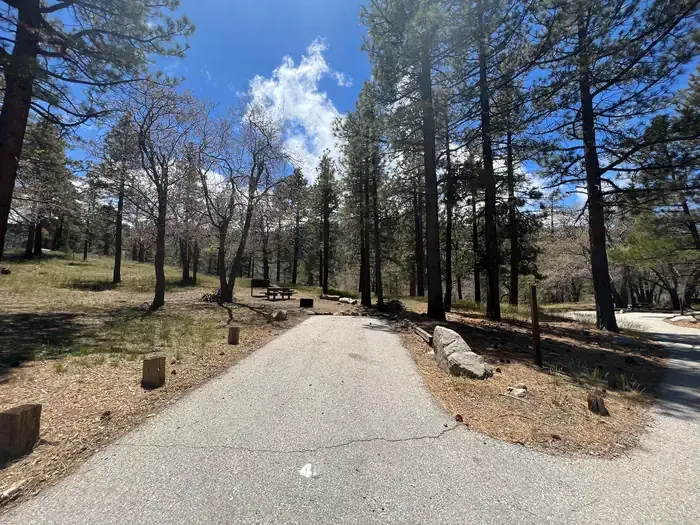 Mountain OakCampingPhoto: Recreation.gov (RIDB) / public domain2 mi
- Crystal Lake WallRock climbing6.2 mi
- Tunnel CragRock climbing6.2 mi
Source: Roamze catalog (indexable pages within 10 miles, PostGIS distance)
- Jackson Flat GeologicalHiking · ~2 min drivePhoto: Rennett Stowe, CC BY 2.0 (via Flickr)
 Jackson LakeHiking · ~3 min drivePhoto: SuZi Zimmermann, CC BY-SA 3.0 (via Wikimedia Commons)
 South Hawkins TrailHiking · ~10 min drivePhoto: mjhbower, CC BY-SA 2.0 (via Flickr)
 South Fork TrailHiking · ~10 min drivePhoto: Alfa117, CC BY-SA 3.0 (via Wikimedia Commons)
 Half Knob TrailHiking · ~10 min drivePhoto: jesse?, CC BY 2.0 (via Flickr)
- Jackson Flat InterpretiveHiking · ~2 min drivePhoto: Rennett Stowe, CC BY 2.0 (via Flickr)
 Dawson SaddleHiking · ~5 min drivePhoto: mjhbower, CC BY-SA 2.0 (via Flickr)
 Gold Dollar TrailHiking · ~12 min drivePhoto: Eeek, CC BY 3.0 (via Wikimedia Commons)
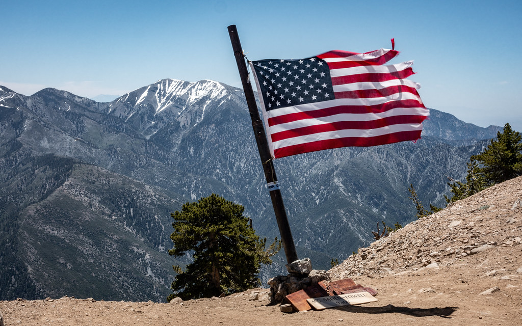 Limber Pines VistaHiking · ~2 min drivePhoto: mjhbower, CC BY-SA 2.0 (via Flickr)
 Hawkins Ridge TrailHiking · ~7 min drivePhoto: mjhbower, CC BY-SA 2.0 (via Flickr)
Also worth it near here
 Lamel SpringsMountain biking · Next doorPhoto: Tracie Hall from Orange County, us, CC BY-SA 2.0 (via Wikimedia Commons)
 Mount Baden-PowellSummit · ~2 min drivePhoto: The original uploader was Jakerome at English Wikipedia./ Simonov, CC BY-SA 2.0 (via Wikimedia Commons)
- Table Mountain (angeles)Camping · ~6 min drive
 Mountain HighDownhill skiing · ~6 min drivePhoto: Mtf612 at English Wikipedia, Public domain (via Wikimedia Commons)
Best time to visit Mine Gulch
Best months: April–October. Best months have typical highs of 55–85 °F, lows of 30 °F or warmer (32 °F where the station doesn't record snow), at most one snowy day and no more than 12 wet days.
Jan
48° / 26°
5 wet
Feb
48° / 25°
8 wet
Mar
54° / 29°
6 wet
Apr
60° / 32°
4 wet
May
69° / 39°
2 wet
Jun
78° / 44°
1 wet
Jul
83° / 53°
2 wet
Aug
82° / 51°
2 wet
Sep
75° / 46°
2 wet
Oct
64° / 37°
3 wet
Nov
55° / 29°
4 wet
Dec
47° / 25°
5 wet
Typical high / low (°F) and days with rain or snow, 1991–2020. Measured at Wrightwood, CA, 6.5 mi away at 6,000 ft. The station sits about 600 ft lower than this place, so expect it a little cooler here. This station doesn't record snowfall. Source: NOAA NCEI U.S. Climate Normals 1991–2020.
