California · Summit
Acrodectes Peak
- 13,176 ft
- summit
- 1
- way up
- National Park Service
- managed by
Loading this week's forecast
Is Acrodectes Peak open right now?
No closures listed
The National Park Service lists no closures for Kings Canyon National Park.
As of · Source: NPS · Kings Canyon National Park. Agencies don't list every closure — check before you go.
Acrodectes Peak is a summit in Fresno County, California, at about 13,176 feet. It sits in Kings Canyon National Park and the Sequoia-Kings Canyon Wilderness.
Conditions and forecast
Daily highs and lows, wind and the chance of precipitation at the summit and baxter pass trailhead for the next 7 days, from the Open-Meteo model.
- Summit elevation
- 13,176 ft
- Land manager
- National Park Service
Elevation from USGS 3D Elevation Program terrain data (about 10 m resolution).
Map © Mapbox © OpenStreetMap contributors Questions about Acrodectes Peak
How tall is Acrodectes Peak?
13,176 ft (4,016 m).
How many routes go to the summit of Acrodectes Peak?
One: Acrodectes Peak.
Where do the routes up Acrodectes Peak start?
Acrodectes Peak starts at Baxter Pass Trailhead.
 Diamond Peak13,116 ft · California1 route2.5 mi awayPhoto: Edward Rice, CC BY-SA 2.0 (via Wikimedia Commons)
- Mount Wynne13,174 ft · California1 route5.5 mi away
 Mount Gould12,981 ft · California1 route5.6 mi awayPhoto: Justin, CC BY-SA 2.0 (via Wikimedia Commons)
 Mount Pinchot13,489 ft · California1 route6.2 mi awayPhoto: Martin Stiburek, CC BY-SA 4.0 (via Wikimedia Commons)
- Striped Mountain13,178 ft · California1 route7.4 mi away
 University Peak13,591 ft · California1 route7.8 mi awayPhoto: Mel, CC BY-SA 2.0 (via Wikimedia Commons)
 Sawmill PassHikingPhoto: Tetsuo Fukuchi, Copyrighted free use (via Wikimedia Commons)1.6 mi
- Baxter PassHiking2.1 mi
 Woods Creek Crossing - Dollar LakeHikingPhoto: Matt Lavin, CC BY-SA 2.0 (via Flickr)2.6 mi
- Woods CreekCanoeing4.3 mi
- Kearsarge Pass to Cedar GroveRock climbing5.2 mi
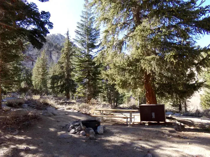 Onion ValleyCampingPhoto: Recreation.gov (RIDB) / public domain6.2 mi
- Grays Meadow CgCamping7.4 mi
- Grays MeadowsCamping7.7 mi
Source: Roamze catalog (indexable pages within 10 miles, PostGIS distance)
- Diamond PeakSummit · ~4 min drivePhoto: Edward Rice, CC BY-SA 2.0 (via Wikimedia Commons)
 Mount Cedric WrightSummit · ~5 min drivePhoto: fredsharples, CC BY 2.0 (via Wikimedia Commons)
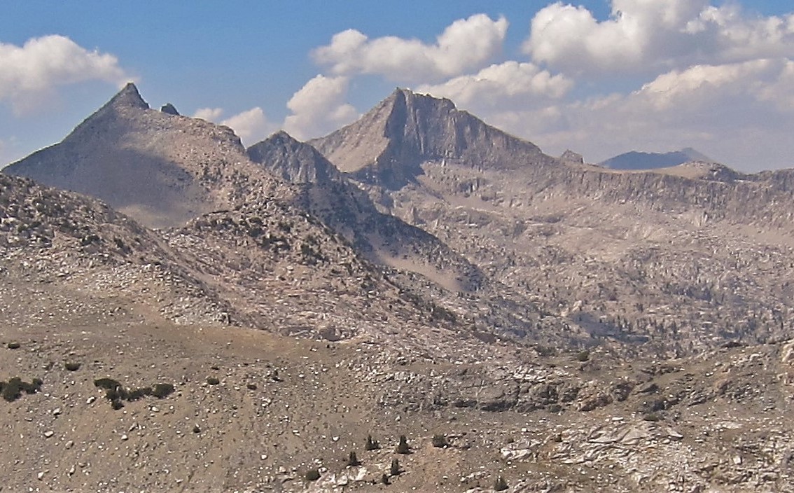 Mount Clarence KingSummit · ~7 min drivePhoto: Kirk Y., CC BY 2.0 (via Wikimedia Commons)
 Crater MountainSummit · ~9 min drivePhoto: fredsharples, CC BY 2.0 (via Wikimedia Commons)
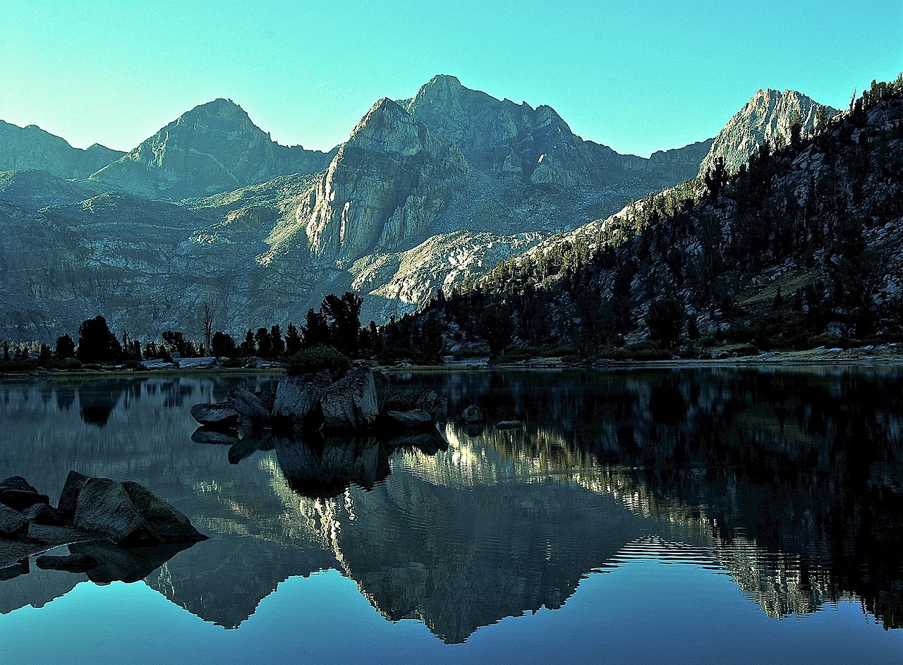 Mount RixfordSummit · ~9 min drivePhoto: David Stone, CC BY-SA 2.0 (via Wikimedia Commons)
- Mount GouldSummit · ~10 min drivePhoto: Justin, CC BY-SA 2.0 (via Wikimedia Commons)
 Mount GardinerSummit · ~10 min drivePhoto: Will Keightley, CC BY-SA 2.0 (via Wikimedia Commons)
- Mount PinchotSummit · ~11 min drivePhoto: Martin Stiburek, CC BY-SA 4.0 (via Wikimedia Commons)
- University PeakSummit · ~13 min drivePhoto: Mel, CC BY-SA 2.0 (via Wikimedia Commons)
 Charlotte DomeSummit · ~14 min drivePhoto: Original by Will Keightley (feverblue), cropped by user:Droll, CC BY-SA 2.0 (via Wikimedia Commons)
