Montery Pines RV Campground
Campground
Campground · 2.1 mi from the trail
Rhus Trail is a short, easy out-and-back hike in Jacks Peak Park, a county park in California. The trail is about 0.7 miles long and rises roughly 110 feet from its starting point at 955 feet to a high point of 955 feet, which makes it a low-elevation walk with a small climb. The route is rolling, and the steepest stretch comes early, at about 0.3 miles in, with a grade of 16 percent. The trail is on county land, and the surrounding park holds several other short routes within a mile. Coffeeberry Trail is just 0.2 miles away, and Pine Trail, Iris Trail and Lower Ridge Trail are each about half a mile off. Late summer and early fall are the most comfortable times to go. Typical averages from a nearby weather station in Monterey show September and October highs around 71°F with only two or three wet days a month, while winter brings highs near 60°F and about 10 wet days a month. That station sits well below the trail, so temperatures on the route run cooler.
Montery Pines RV Campground
Campground
 If it rainsLordHarris at English Wikipedia, CC BY-SA 3.0 · Wikimedia Commons
Places © OpenStreetMap contributors, Places © Overture Maps Foundation · Photos: LordHarris at English Wikipedia, CC BY-SA 3.0 (commons)
More in GonzalesSource: Roamze catalog (indexable pages within 10 miles, PostGIS distance)
 Library Statue TrailHiking · ~4 min drivePhoto: Matt_B13, CC BY 2.0 (via Flickr)
 Peak TrailHiking · ~11 min drivePhoto: Alexander Hatley, CC BY 2.0 (via Flickr)
 Saddle TrailHiking · ~16 min drivePhoto: DeeAshley, CC BY 2.0 (via Flickr)
 Rancho Loop TrailHiking · ~12 min drivePhoto: CarbonNYC [in SF!], CC BY 2.0 (via Flickr)
 Live Oak TrailHiking · ~12 min drivePhoto: btwashburn, CC BY 2.0 (via Flickr)
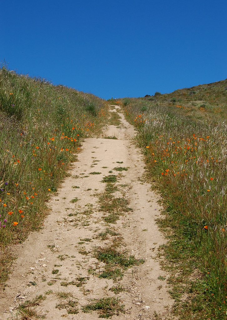 Snively's Ridge TrailHiking · ~14 min drivePhoto: ilya_ktsn, CC BY 2.0 (via Flickr)Cooper TrailHiking · ~12 min drivePhoto: CarbonNYC [in SF!], CC BY 2.0 (via Flickr)Sage TrailHiking · ~12 min drivePhoto: btwashburn, CC BY 2.0 (via Flickr)
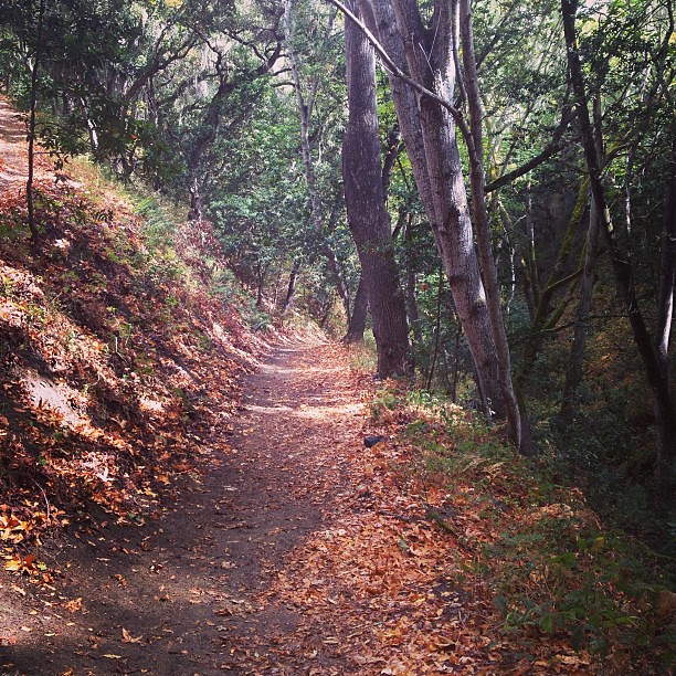 Cottonwood TrailHiking · ~12 min drivePhoto: neil conway, CC BY 2.0 (via Flickr)
Best months: Year-round. Best months have typical highs of 55–85 °F, lows of 30 °F or warmer (32 °F where the station doesn't record snow), at most one snowy day and no more than 12 wet days.
Jan
60° / 45°
11 wet
Feb
61° / 45°
11 wet
Mar
63° / 46°
10 wet
Apr
63° / 47°
7 wet
May
64° / 49°
5 wet
Jun
66° / 51°
3 wet
Jul
67° / 53°
3 wet
Aug
69° / 54°
2 wet
Sep
71° / 53°
2 wet
Oct
71° / 52°
4 wet
Nov
64° / 48°
8 wet
Dec
59° / 44°
10 wet
Typical high / low (°F) and days with rain or snow, 1991–2020. Measured at Monterey, CA, 2.6 mi away at 260 ft. The station sits about 700 ft lower than this place, so expect it a little cooler here. Source: NOAA NCEI U.S. Climate Normals 1991–2020.
Map and trail data © OpenStreetMap contributors
