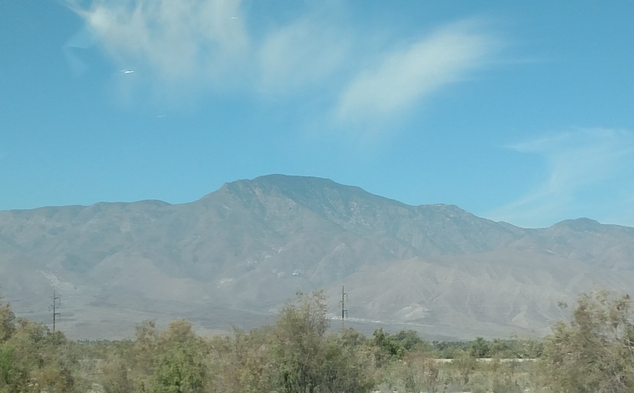
Peg leg legal RV boondocks side
Campground
Campground · 7.9 mi from the trail
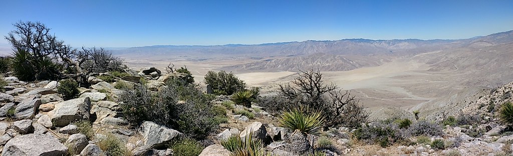 Photo: Chris Hunkeler, CC BY-SA 2.0 (via Flickr)
Rabbit Peak Trail is a hard hike in Anza-Borrego Desert State Park in California, managed by State Park and Recreation. The nearest town is Oasis, about 9 miles away. The trail is an out-and-back that covers about 7.5 miles, with a total climb of roughly 3,470 feet. The route starts at about 5,710 feet and reaches a high point of about 6,642 feet. The climb is steady, and the steepest stretch comes around mile 3.5, where the grade reaches about 41 percent. For a longer outing, Villager Peak Trail, Truckhaven Trail and Thimble Trail all lie about 6 miles away. Calcite Mine Slot Canyon is about 9 miles off.
Peg leg legal RV boondocks side
Campground
Sky Art Desert Sculpture Garden
Gallery
Places © OpenStreetMap contributors, Places © Overture Maps Foundation
More in CoachellaNot on Roamze yet. Their page has how to reach them.
Daily highs and lows, wind and the chance of precipitation at the summit and route start for the next 7 days, from the Open-Meteo model.
 Villager Peak TrailHikingPhoto: npdoty, CC BY 2.0 (via Flickr)6 miTruckhaven TrailHikingPhoto: npdoty, CC BY 2.0 (via Flickr)6 miThimble TrailHikingPhoto: npdoty, CC BY 2.0 (via Flickr)6 mi
 Calcite Mine Slot CanyonHikingPhoto: BOB PERRY, CC BY 3.0 (via Wikimedia Commons)9 mi
 Desert Equestrian TrailHikingPhoto: Rainhead, CC BY-SA 2.0 (via Flickr)9.2 mi
 South Fork Palm Wash CanyonHikingPhoto: RuggyBearLA, CC BY 2.0 (via Flickr)9.6 mi
 Horsecamp South TrailHikingPhoto: npdoty, CC BY 2.0 (via Flickr)9.7 mi
Source: Roamze catalog (indexable pages within 10 miles, PostGIS distance)
Villager Peak TrailHiking · ~10 min drivePhoto: npdoty, CC BY 2.0 (via Flickr)Truckhaven TrailHiking · ~10 min drivePhoto: npdoty, CC BY 2.0 (via Flickr)Thimble TrailHiking · ~10 min drivePhoto: npdoty, CC BY 2.0 (via Flickr) Cut Across TrailHiking · ~23 min drivePhoto: Chris Hunkeler, CC BY-SA 2.0 (via Flickr)Desert Equestrian TrailHiking · ~16 min drivePhoto: Rainhead, CC BY-SA 2.0 (via Flickr)Calcite Mine Slot CanyonHiking · ~15 min drivePhoto: BOB PERRY, CC BY 3.0 (via Wikimedia Commons)
 Tectonic Gorge TrailHiking · ~24 min drivePhoto: RuggyBearLA, CC BY 2.0 (via Flickr)Horsecamp South TrailHiking · ~17 min drivePhoto: npdoty, CC BY 2.0 (via Flickr)South Fork Palm Wash CanyonHiking · ~16 min drivePhoto: RuggyBearLA, CC BY 2.0 (via Flickr)
About 3.7 mi round trip.
About 3,470 ft of climbing round trip.
It is rated hard.
About 2.5 hours round trip.
Map and trail data © OpenStreetMap contributors