Holmes Camp
Campground
Campground · 6.1 mi from the trail
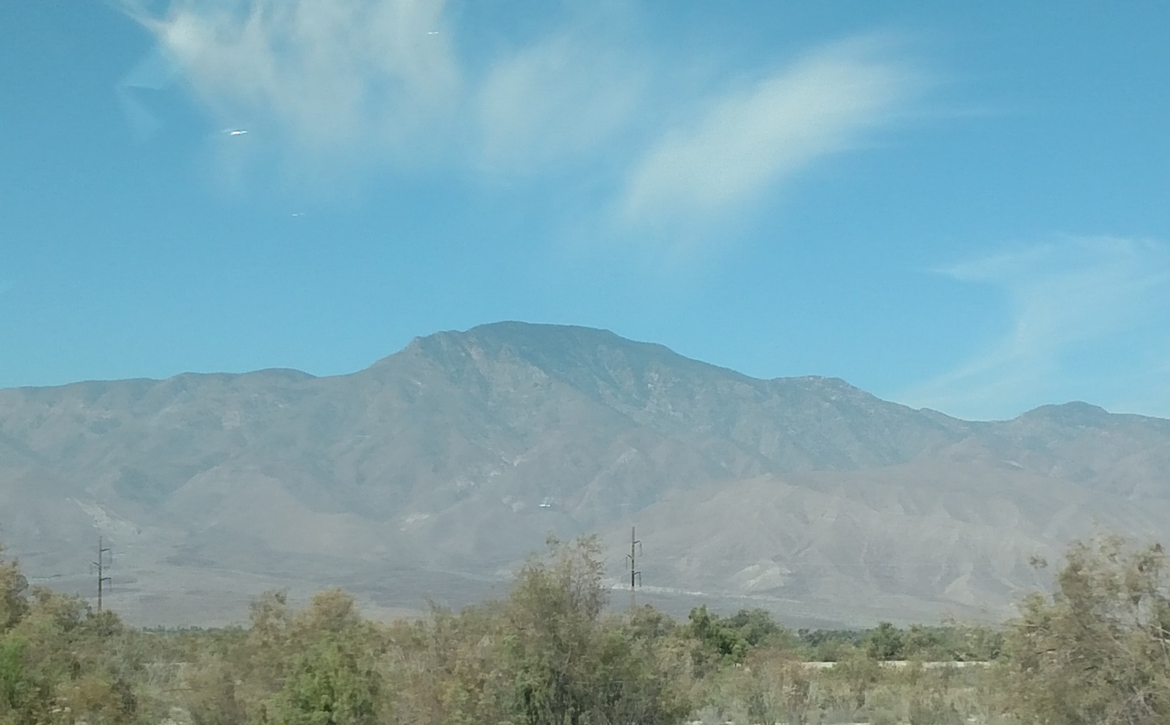
Borrego Mountain is a desert summit in California's Riverside Unit, about 9.5 miles from the town of Borrego Springs. Winter is the most comfortable time to go. Typical averages from a nearby weather station at Ocotillo Wells, about 800 feet lower, run from highs around 69°F with lows near 49°F in January to highs of 108°F in July and August, and temperatures on the summit run somewhat cooler. Several hikes start within about a mile of the peak. The West Butte Trail is less than a mile away, Borrego Mountain Wash and the Cut Across Trail are each about a mile off, and the Goat Trail is roughly 1.2 miles away.
Holmes Camp
Campground
Warlock Mine
Attraction
Places © OpenStreetMap contributors, Places © Overture Maps Foundation
More in JulianDaily highs and lows, wind and the chance of precipitation at the summit and route start for the next 7 days, from the Open-Meteo model.
Elevation from USGS 3D Elevation Program terrain data (about 10 m resolution).
1,201 ft (366 m).
One: West Butte Trail.

 West Butte TrailHikingPhoto: Anthony Albright, CC BY-SA 2.0 (via Flickr)0.8 mi
 Borrego Mountain WashHikingPhoto: Chris Hunkeler, CC BY-SA 2.0 (via Flickr)1 mi
 Cut Across TrailHikingPhoto: Chris Hunkeler, CC BY-SA 2.0 (via Flickr)1.1 miGoat TrailHikingPhoto: Anthony Albright, CC BY-SA 2.0 (via Flickr)1.2 mi
Source: Roamze catalog (indexable pages within 10 miles, PostGIS distance)
 Coyote MountainSummit · ~22 min drivePhoto: Florian Boyd from Palm Springs, USA, CC BY-SA 2.0 (via Wikimedia Commons)Rabbit PeakSummit · ~29 min drivePhoto: 5K-VX, CC BY-SA 4.0 (via Wikimedia Commons)
 Toro PeakSummit · ~45 min drivePhoto: Tylerfinvold at English Wikipedia, Public domain (via Wikimedia Commons)Cush-piiSummit · ~46 min drivePhoto: Wasquewhat, CC BY-SA 4.0 (via Wikimedia Commons)
 Cuyamaca PeakSummit · ~49 min drivePhoto: Tylerfinvold at en.wikipedia, Public domain (via Wikimedia Commons)
 Viejas MountainSummit · ~1h 5m drivePhoto: Ken Lund from Reno, Nevada, USA, CC BY-SA 2.0 (via Wikimedia Commons)
 Iron MountainSummit · ~1h 19m drivePhoto: Robert DuHamel, CC BY-SA 3.0 (via Wikimedia Commons)
Best months: November–March. Best months have typical highs of 55–85 °F, lows of 30 °F or warmer (32 °F where the station doesn't record snow), at most one snowy day and no more than 12 wet days.
Jan
69° / 49°
2 wet
Feb
73° / 52°
2 wet
Mar
80° / 58°
1 wet
Apr
86° / 61°
1 wet
May
94° / 69°
0 wet
Jun
102° / 75°
0 wet
Jul
108° / 83°
1 wet
Aug
108° / 83°
1 wet
Sep
102° / 78°
1 wet
Oct
91° / 68°
0 wet
Nov
79° / 56°
1 wet
Dec
68° / 47°
2 wet
Typical high / low (°F) and days with rain or snow, 1991–2020. Measured at Ocotillo Wells 2w, CA, 3.2 mi away at 390 ft. The station sits about 800 ft lower than this place, so expect it a little cooler here. This station doesn't record snowfall. Source: NOAA NCEI U.S. Climate Normals 1991–2020.
