Admiral William Standley State Recreation Area
- State Park and Recreation
- managed by
- Apr–Oct
- best months
Admiral William Standley State Recreation Area is a California state park managed by State Park and Recreation, about 6.6 miles from the town of Laytonville. It serves as a base for exploring the surrounding trails and waterways, with several hiking routes and paddling waters within a short drive. Summer is the most comfortable time to visit. Typical averages from a nearby weather station show July and August highs around 65°F with only two or three wet days a month, while winter brings highs in the low 50s and rain on more than half the days. The closest outing is the Conger Trail, about 4.4 miles away, and the South Fork Eel River, a canoeing route about 4.5 miles off. Walker Meadow Loop and Black Oak Mountain Trail are both about 5.9 miles away.
Park size
47 acres
- Conger TrailHiking4.4 mi
- South Fork Eel RiverCanoeing4.5 mi
- Walker Meadow LoopHiking5.9 mi
- Black Oak Mountain TrailHiking5.9 mi
- Guimelli TrailHiking6.2 mi
- Alquist TrailHiking6.5 mi
 Ten Mile RiverCanoeingPhoto: David Eppstein, CC BY-SA 3.0 (via Wikimedia Commons)8.1 mi
- Long Valley CreekCanoeing9.7 mi
Source: Roamze catalog (indexable pages within 10 miles, PostGIS distance)
 Russian Gulch State ParkState park · ~41 min drivePhoto: David Eppstein, CC BY-SA 3.0 (via Wikimedia Commons)
 Van Damme State ParkState park · ~46 min drivePhoto: David Eppstein, CC BY-SA 3.0 (via Wikimedia Commons)
 Richardson Grove State ParkState park · ~47 min drivePhoto: Mike Fernwood, CC BY-SA 2.0 (via Wikimedia Commons)
 Greenwood State BeachState park · ~1h 2m drivePhoto: Art Poskanzer, CC BY 2.0 (via Wikimedia Commons)
 Hendy Woods State ParkState park · ~1h 8m drivePhoto: David Eppstein, CC BY-SA 3.0 (via Wikimedia Commons)
 Manchester State ParkState park · ~1h 20m drivePhoto: Bjorn, CC BY-SA 2.0 (via Wikimedia Commons)
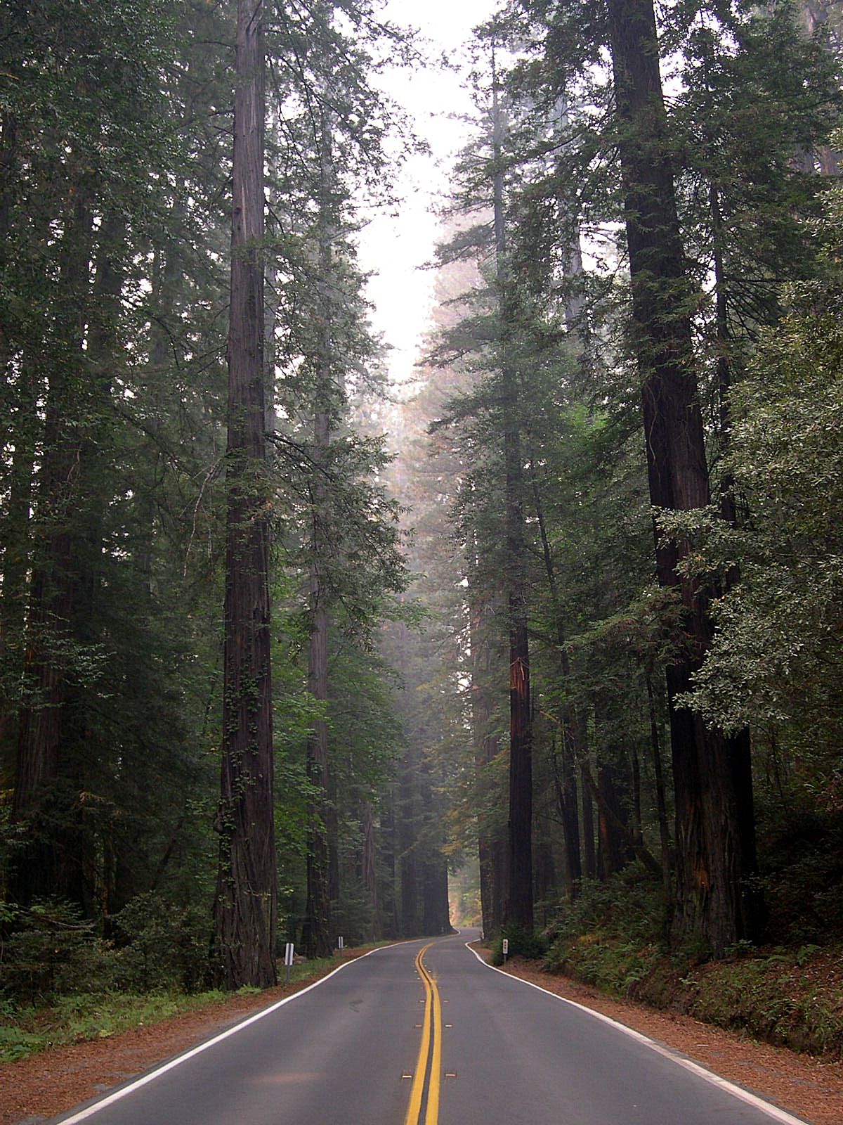 Humboldt Redwoods State ParkState park · ~1h 23m drivePhoto: Jason Sturner, CC BY 2.0 (via Wikimedia Commons)
 Westport-Union Landing State BeachState park · ~16 min drivePhoto: Sequoiasempervirenssssssssss, CC BY-SA 4.0 (via Wikimedia Commons)
 MacKerricher State ParkState park · ~22 min drivePhoto: J.smith, CC BY-SA 3.0 (via Wikimedia Commons)
 Standish-Hickey State Recreation AreaState park · ~30 min drivePhoto: Punk Toad, CC BY 2.0 (via Wikimedia Commons)
Also worth it near here
Best time to visit Admiral William Standley State Recreation Area
Best months: April–October. Best months have typical highs of 55–85 °F, lows of 30 °F or warmer (32 °F where the station doesn't record snow), at most one snowy day and no more than 12 wet days.
Jan
52° / 40°
16 wet
Feb
54° / 41°
14 wet
Mar
55° / 41°
15 wet
Apr
57° / 42°
11 wet
May
60° / 45°
7 wet
Jun
63° / 47°
3 wet
Jul
65° / 49°
2 wet
Aug
65° / 50°
3 wet
Sep
65° / 49°
4 wet
Oct
62° / 46°
7 wet
Nov
56° / 43°
13 wet
Dec
52° / 40°
17 wet
Typical high / low (°F) and days with rain or snow, 1991–2020. Measured at Ft Bragg 5 N, CA, 12.1 mi away at 123 ft. We don't have this place's elevation, so higher spots nearby can run cooler. Source: NOAA NCEI U.S. Climate Normals 1991–2020.
