Conger Trail
- 2.6 mi
- round trip
- 2,175 ft
- climb
- 2,774 ft
- high point
- Out and back
- route
- Feb–Jun, Oct–Nov
- best months
The Conger Trail is a 2.6-mile out-and-back hike on Bureau of Land Management land within the Elder Creek unit of California's public lands. The trail starts at a high point of about 2,770 feet and climbs to a peak of 2,774 feet, with a total elevation gain of about 2,175 feet over the course of the trip, which takes roughly three hours to complete. The route is a moderate hike, with the steepest stretch at about 2.4 miles into the trip. That section reaches a grade of 32 percent. The trail begins and ends near the same elevation, with the high point only a few feet higher than the start. For comfortable conditions, late spring and early fall are the best bets. Typical averages from the nearby Covelo weather station, which sits well below the trail, show May highs around 75°F and October highs around 76°F. July and August average in the low 90s. Summer is also the driest time, with only a day or two of rain in July and August. The trail is close to other outings. The South Fork Eel River, a canoeing route, is under a mile away. Black Oak Mountain Trail is about 1.7 miles off, and Walker Meadow Loop and Guimelli Trail are each about 2 miles away.
- South Fork Eel RiverCanoeing0.8 mi
- Black Oak Mountain TrailHiking1.7 mi
- Walker Meadow LoopHiking2 mi
- Guimelli TrailHiking2 mi
- Alquist TrailHiking2.2 mi
- Rattlesnake CreekCanoeing7.8 mi
- Hollow Tree CreekCanoeing8.9 mi
Source: Roamze catalog (indexable pages within 10 miles, PostGIS distance)
 Mill Creek LoopHiking · ~24 min drivePhoto: California Department of Transportation "Caltrans" District 1, Public domain (via Wikimedia Commons)
 Last Chance TrailHiking · ~35 min drivePhoto: rivenexus, CC BY 2.0 (via Flickr)
- Hotel Gulch TrailHiking · ~27 min drive
- Black Oak Mountain TrailHiking · ~3 min drive
 Peter Douglas TrailHiking · ~25 min drivePhoto: Saucytech, CC BY 2.0 (via Flickr)
- Dutch Henry TrailHiking · ~37 min drivePhoto: rivenexus, CC BY 2.0 (via Flickr)
- Gooseberry TrailHiking · ~36 min drivePhoto: rivenexus, CC BY 2.0 (via Flickr)
- Robie TrailHiking · ~37 min drivePhoto: rivenexus, CC BY 2.0 (via Flickr)
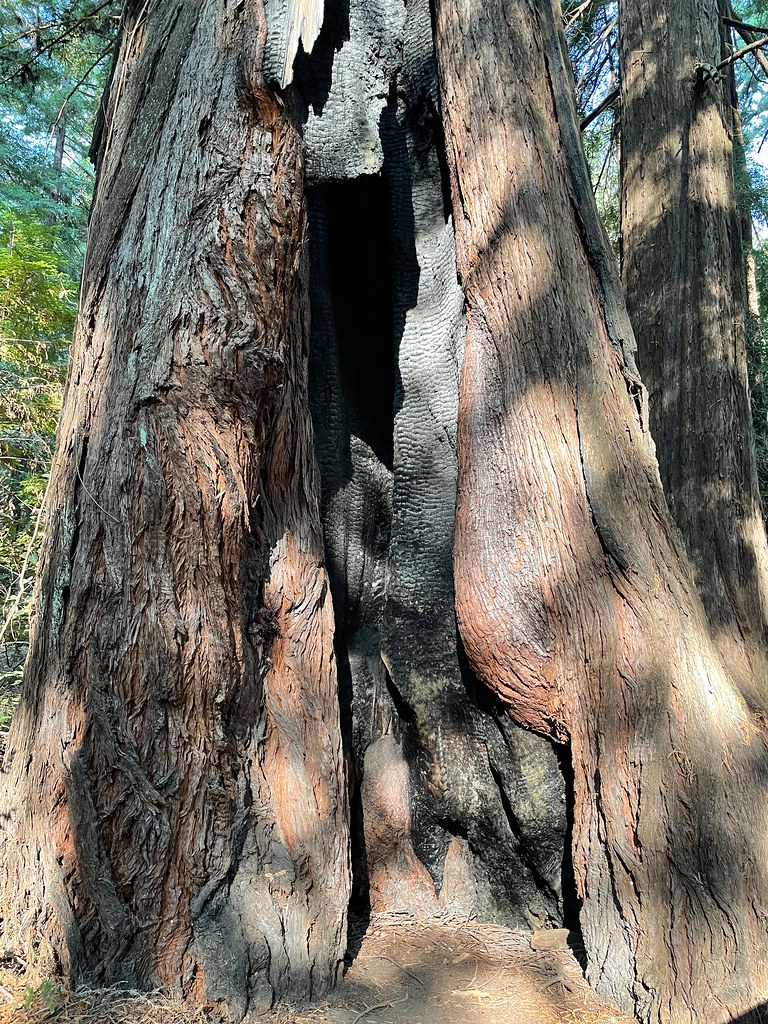 Toumey TrailHiking · ~39 min drivePhoto: bsterling, CC BY-SA 2.0 (via Flickr)
- Rockefeller TrailHiking · ~38 min drivePhoto: rivenexus, CC BY 2.0 (via Flickr)
Best time to visit Conger Trail
Best months: February–June and October–November. Best months have typical highs of 55–85 °F, lows of 30 °F or warmer (32 °F where the station doesn't record snow), at most one snowy day and no more than 12 wet days.
Jan
52° / 33°
13 wet
Feb
57° / 34°
12 wet
Mar
62° / 36°
11 wet
Apr
67° / 38°
9 wet
May
75° / 43°
6 wet
Jun
84° / 48°
2 wet
Jul
92° / 53°
1 wet
Aug
91° / 51°
0 wet
Sep
88° / 45°
1 wet
Oct
76° / 39°
5 wet
Nov
58° / 35°
11 wet
Dec
50° / 32°
14 wet
Typical high / low (°F) and days with rain or snow, 1991–2020. Measured at Covelo, CA, 21.3 mi away at 1,413 ft. The station sits about 1,400 ft lower than this place, so expect it a little cooler here. Source: NOAA NCEI U.S. Climate Normals 1991–2020.

Map and trail data © OpenStreetMap contributors
