Black Oak Mountain Trail
- 2.1 mi
- round trip
- 2,611 ft
- climb
- 3,629 ft
- high point
- Out and back
- route
Black Oak Mountain Trail is a hard hike on Bureau of Land Management land in the Elder Creek area of California, about 2 miles from the trailhead. The route is an out-and-back that covers roughly 4 miles, with a total climb of about 2,600 feet. The trail starts at about 1,600 feet and reaches a high point of about 3,600 feet, and the steepest stretch comes early, around 0.6 miles in, with a grade of about 35%. The trail is a rolling climb, and the return trip mirrors the ascent. Because the route is rated hard, plan for a full day on foot. Several other trails sit close by. Guimelli Trail is about 0.3 miles away, Alquist Trail about 0.6 miles, and Walker Meadow Loop about 0.7 miles. Paddlers can reach the South Fork Eel River, about 1.5 miles off.
- Guimelli TrailHiking0.3 mi
- Alquist TrailHiking0.6 mi
- Walker Meadow LoopHiking0.7 mi
- South Fork Eel RiverCanoeing1.5 mi
- Conger TrailHiking1.7 mi
- Rattlesnake CreekCanoeing6.6 mi
- Hollow Tree CreekCanoeing7.3 mi
Source: Roamze catalog (indexable pages within 10 miles, PostGIS distance)
 Mill Creek LoopHiking · ~21 min drivePhoto: California Department of Transportation "Caltrans" District 1, Public domain (via Wikimedia Commons)
 Lookout Point TrailHiking · ~37 min drivePhoto: MARELBU, CC BY 3.0 (via Wikimedia Commons)
- Hotel Gulch TrailHiking · ~25 min drive
 Peter Douglas TrailHiking · ~22 min drivePhoto: Saucytech, CC BY 2.0 (via Flickr)
 Grove Interpretive TrailHiking · ~37 min drivePhoto: lamblukas, CC BY 2.0 (via Flickr)
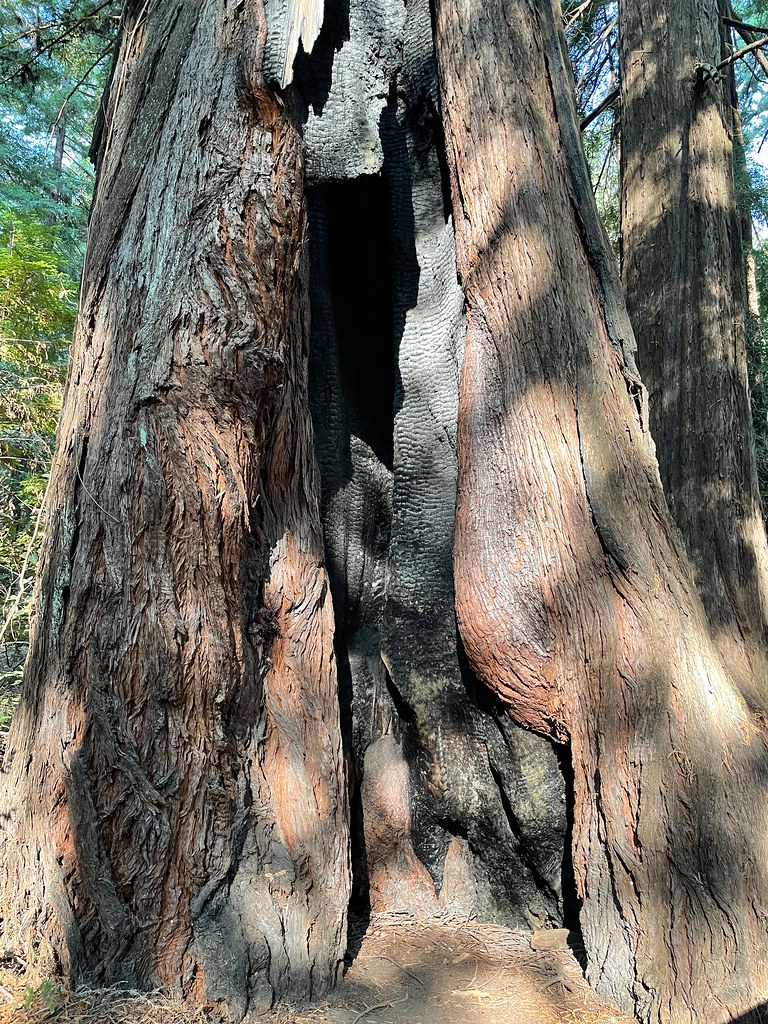 Toumey TrailHiking · ~36 min drivePhoto: bsterling, CC BY-SA 2.0 (via Flickr)
- Woodland TrailHiking · ~38 min drivePhoto: MARELBU, CC BY 3.0 (via Wikimedia Commons)
- Tan Oak Springs TrailHiking · ~36 min drivePhoto: MARELBU, CC BY 3.0 (via Wikimedia Commons)
 Last Chance TrailHiking · ~38 min drivePhoto: rivenexus, CC BY 2.0 (via Flickr)
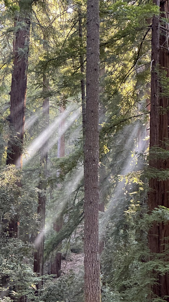 Durphy Creek TrailHiking · ~38 min drivePhoto: lamblukas, CC BY 2.0 (via Flickr)
Map and trail data © OpenStreetMap contributors
