The Octagon Area
Octagon Area is a California climbing crag with 9 bouldering routes.
- 9 routes
- V1+ – V9+
- Bouldering
Best time to visit The Octagon Area
Best months: February–June and October–November. Best months have typical highs of 55–85 °F, lows of 30 °F or warmer (32 °F where the station doesn't record snow), at most one snowy day and no more than 12 wet days.
Jan
60° / 31°
7 wet
Feb
61° / 32°
8 wet
Mar
65° / 35°
8 wet
Apr
69° / 38°
5 wet
May
75° / 43°
3 wet
Jun
85° / 46°
1 wet
Jul
92° / 53°
1 wet
Aug
93° / 54°
1 wet
Sep
89° / 49°
2 wet
Oct
79° / 40°
3 wet
Nov
68° / 34°
5 wet
Dec
60° / 30°
7 wet
Typical high / low (°F) and days with rain or snow, 1991–2020. Measured at Henshaw Dam, CA, 25.2 mi away at 2,700 ft. This station doesn't record snowfall. Source: NOAA NCEI U.S. Climate Normals 1991–2020.
The Octagon Area is a bouldering area within Anza-Borrego Desert State Park in California, managed by State Park and Recreation. It sits in the park's southern reaches, with The Octagon South Face and The Octagon North Face each about 0.1 mile away, and Blair Valley Campground Area about 0.2 mile off. The climbing here is all bouldering, with nine routes spread across the area and grades ranging from V1+ to V9+. Spring and fall are the most comfortable times to visit. Typical averages from a nearby weather station at Henshaw Dam show May highs around 75°F and October highs around 79°F, while July and August average in the low 90s. The routes include Trice at V1+ and The Dead Battery at V9+. Blair Valley Campground Area and the California Riding and Hiking Trail are both within a third of a mile. Blair Valley and Box Canyon lie a little farther out.
Routes (9)
Cathedral, The(2)
Dead Battery, The(1)
Flying Chosser, The(2)
Octagon East Face, The(4)
Keep exploring — more climbs worth the drive
 Photo: Waifer X, CC BY 2.0 (via Flickr)
Stonewall Peak
~20 min drive
California granite crag with varied climbing for multiple skill levels.
Photo: Waifer X, CC BY 2.0 (via Flickr)Lower Tier
~20 min drive
Lower Tier in California has 9 traditional climbing routes across 5 grades.
Photo: Waifer X, CC BY 2.0 (via Flickr)Upper Tier
~20 min drive
Upper Tier is a California climbing crag with 14 routes across 6 grades.
 Photo: RuggyBearLA, CC BY-SA 2.0 (via Flickr)
Cottonwood Area
~21 min drive
Cottonwood Area in California has 8 bouldering routes across 5 difficulty grades.
Photo: RuggyBearLA, CC BY-SA 2.0 (via Flickr)Granitica Hill
~21 min drive
Granitica Hill in California has 12 climbing routes across 5 grades.
Photo: RuggyBearLA, CC BY-SA 2.0 (via Flickr)Vector Boulder
~21 min drive
Vector Boulder in California offers 11 bouldering routes across 7 difficulty grades.
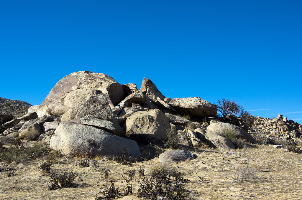 Photo: RuggyBearLA, CC BY-SA 2.0 (via Flickr)
Wolf Area
~22 min drive
Wolf Area in California has 11 bouldering routes across 7 grades.
 Photo: RuggyBearLA, CC BY-SA 2.0 (via Flickr)
Windy Boulders South
~22 min drive
Windy Boulders South in California has 8 bouldering routes with 6 difficulty grades.
Photo: RuggyBearLA, CC BY-SA 2.0 (via Flickr)Culp Valley
~22 min drive
Culp Valley in California has 17 climbing routes with 12 difficulty grades, featuring bouldering pads and sport climbing.
Photo: RuggyBearLA, CC BY-SA 2.0 (via Flickr)Windy Boulders
~22 min drive
Windy Boulders in California has 1 bouldering route rated 5.11a.

