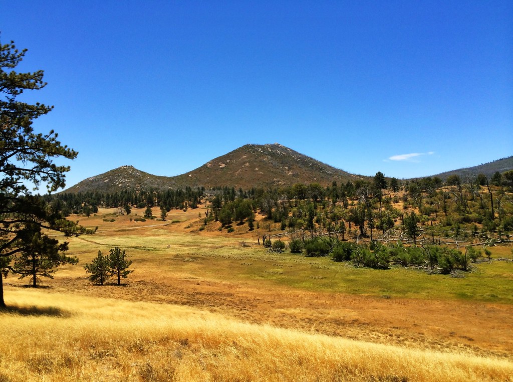
Upper Tier
Upper Tier is a California climbing crag with 14 routes across 6 grades.
 Photo: Waifer X, CC BY 2.0 (via Flickr)
- 14 routes
- 5.5 – 5.10-
- Trad · Sport · Mixed
Best time to visit Upper Tier
Best months: March–November. Best months have typical highs of 55–85 °F, lows of 30 °F or warmer (32 °F where the station doesn't record snow), at most one snowy day and no more than 12 wet days.
Jan
51° / 33°
7 wet
Feb
51° / 33°
8 wet
Mar
55° / 36°
7 wet
Apr
60° / 39°
5 wet
May
67° / 44°
3 wet
Jun
76° / 51°
1 wet
Jul
83° / 58°
1 wet
Aug
84° / 58°
2 wet
Sep
79° / 51°
2 wet
Oct
69° / 42°
3 wet
Nov
59° / 35°
5 wet
Dec
51° / 32°
7 wet
Typical high / low (°F) and days with rain or snow, 1991–2020. Measured at Cuyamaca, CA, 2.2 mi away at 4,640 ft. The station sits about 800 ft lower than this place, so expect it a little cooler here. This station doesn't record snowfall. Source: NOAA NCEI U.S. Climate Normals 1991–2020.
Upper Tier is a climbing area in Cuyamaca Rancho State Park in California, managed by State Park and Recreation. It sits within the park's state park land, and the Lower Tier climbing area lies just 0.1 mile away, making the two areas easy to pair on a single visit. The climbing here is a mix of trad and sport routes, with 14 routes in total. The YDS grades run from 5.5 to 5.10, with the median at 5.9. Among the standouts are Right Chimney at 5.5 and Green Dihedral at 5.10-, both trad routes, and Peace in Mississippi, a sport route at 5.10. For timing, late spring and early fall are the most comfortable. Typical averages from a nearby weather station in Cuyamaca show May highs around 67°F and October highs around 69°F, while July and August average in the low 80s. That station sits about 800 feet below the park's higher ground, so temperatures on the crag run cooler. Hikers can reach Cold Stream Trail and Stonewall Peak Trail, both about 0.4 mile away. Boulder Creek, a paddling spot, is roughly 5 miles off, and El Prado Group campground is about 8 miles away.
Routes (14)
Keep exploring — more climbs worth the drive
Right Wall
~14 min drive
Right Wall in California has 28 climbing routes with 14 difficulty grades.
The Summit
~14 min drive
Summit, The in California has 9 climbing routes across 6 difficulty grades.
Main Wall
~15 min drive
Main Wall in California offers 10 sport and trad climbing routes with difficulty grades from easy to hard.
Baked Potatoe Rock
~15 min drive
Baked Potatoe Rock in California has 5 sport climbing routes with 5 distinct difficulty grades.
Descanso Boulders
~15 min drive
17 bouldering routes in California with 9 difficulty grades.
Dos Equis Boulder
~15 min drive
Dos Equis Boulder in California has 9 climbing routes across 7 difficulty grades.
Vasa Boulder
~15 min drive
Vasa Boulder is a bouldering crag in California with 5 routes.
Library Boulder
~15 min drive
Library Boulder in California has 10 bouldering routes across 7 grades.
Main Wall
~19 min drive
Main Wall in California has 65 climbing routes across 23 difficulty grades.
Blair Valley Campground Area
~19 min drive
Blair Valley Campground Area in California has 10 climbing routes on bouldering pads.