Photo: Anna Fiorella (US Forest Service), Public domain (via Wikimedia Commons)
California · Paddling
Paddling in Red Bluff, California
12 spotsUpdated weeklyFree to access
View on mapPaddling · 12 spots
Featured spots


All spots · 12 spots

Canoeing
Mill Creek
Red Bluff, California

Canoeing
North Fork Elder Creek
Red Bluff, California
Canoeing
Paynes Creek
Red Bluff, California

Canoeing
Red Bank Creek
Red Bluff, California

Canoeing
Reeds Creek
Red Bluff, California
Canoeing
South Fork Antelope Creek
Red Bluff, California
Canoeing
South Fork Elder Creek
Red Bluff, California
Keep exploring — more water worth the drive
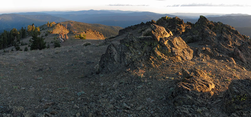
Photo: Anna Fiorella (US Forest Service), Public domain (via Wikimedia Commons)Thomes Creek
~28 min drive
Thomes Creek is a 66-mile paddling stretch near Red Bluff, California. It is intermittent and may run dry in some seasons. USGS models an average flow of about 418 cfs and a gradient of about 81.4 feet per mile.
Red Bluff Recreation Area Boat Ramp
~17 min drive
A worthwhile stop near California.
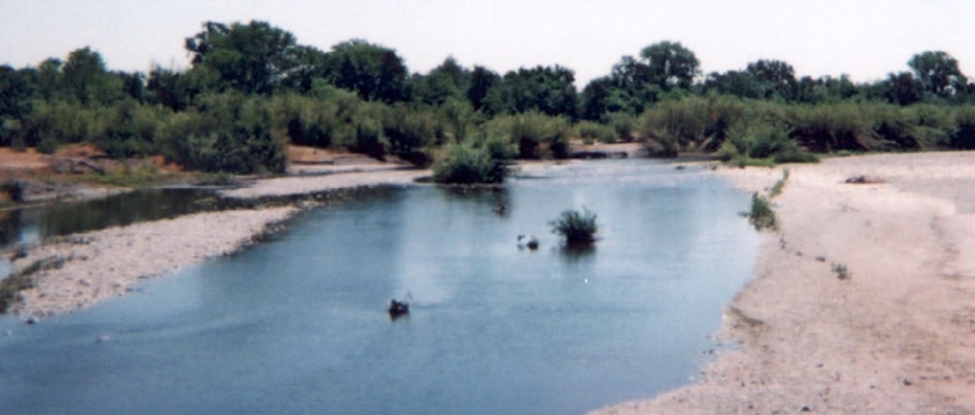 Photo: US Forest Service, Public domain (via Wikimedia Commons)
Cottonwood Creek
~37 min drive
Cottonwood Creek is a 0.1-mile paddling stretch near Cottonwood, California. It flows year-round. USGS models an average flow of about 624 cfs.
Drift Boat Launch
~52 min drive
Drift Boat Launch is a boat launch in California.
 Photo: Richard Jordana, Public domain (via Wikimedia Commons)
Battle Creek
~50 min drive
Battle Creek is a 0.2-mile paddling stretch near Paynes Creek, California. It flows year-round. USGS models an average flow of about 703 cfs. Land along it is managed by the Bureau of Land Management.
Posse Grounds Boat Ramp
~58 min drive
Posse Grounds Boat Ramp is a boat launch in California.
 Photo: Kmmontandon at English Wikipedia, Public domain (via Wikimedia Commons)
Deer Creek
~55 min drive
Deer Creek is a 20-mile paddling stretch near Chico, California. It is intermittent and may run dry in some seasons. USGS models an average flow of about 625 cfs and a gradient of about 75.4 feet per mile. Land along it is managed by the U.S. Forest Service.
Keswick Launch Ramp
~1h 3m drive
Keswick Launch Ramp is a boat launch in California.
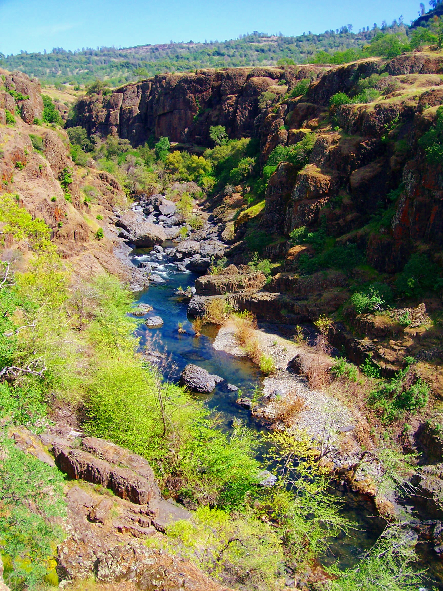 Photo: Ebryden at English Wikipedia, Public domain (via Wikimedia Commons)
Big Chico Creek
~1h 4m drive
Big Chico Creek is a 40-mile paddling stretch near Cohasset, California. It flows year-round. USGS models an average flow of about 240 cfs and a gradient of about 88.5 feet per mile.
 Photo: humboldthead, CC BY 2.0 (via Wikimedia Commons)
Middle Fork Eel River
~1h 3m drive
Middle Fork Eel River is a 36-mile paddling stretch near Zenia, California. It is intermittent and may run dry in some seasons. USGS models an average flow of about 1,257 cfs and a gradient of about 115.5 feet per mile. Land along it is managed by the U.S. Forest Service.
Reeds Creek
~7 min drive
Reeds Creek is a 14-mile paddling stretch near Red Bluff, California. It is intermittent and may run dry in some seasons. USGS models an average flow of about 34 cfs and a gradient of about 39.0 feet per mile.
Elder Creek
~9 min drive
Elder Creek is a 29-mile paddling stretch near Red Bluff, California. It is intermittent and may run dry in some seasons. USGS models an average flow of about 167 cfs and a gradient of about 20.6 feet per mile.