Keswick Launch Ramp
- Apr–May, Oct–Nov
- best months
Caution at last check
Weather is marginal · OpenWeather · checked 18 h ago
Keswick Launch Ramp is a boat launch in California, managed by the Bureau of Reclamation and located about 1.5 miles from the town of Keswick. It serves as a put-in point for boaters heading out on the water near Keswick. Spring and fall are the most comfortable times to visit. Typical averages from the nearby Shasta Dam weather station show May highs around 79°F and October highs around 78°F, while July and August average in the mid-90s. That station sits about 480 feet lower than the launch, so temperatures at the ramp run a little cooler. The closest trails are the FB Trail, about 0.7 miles away, and the FB Waterfall Trail, about 0.8 miles away. For an overnight stay, Whiskey Creek Group Picnic Area in Whiskeytown NRA is about 5.4 miles off, and Peltier Bridge Primitive Campground is about 6.1 miles away.
- Managed by
- Bureau of Reclamation
- FB TrailHiking0.7 mi
- FB Waterfall TrailHiking0.8 mi
- Whiskey Creek Group Picnic Area (Whiskeytown NRA)Camping5.4 mi
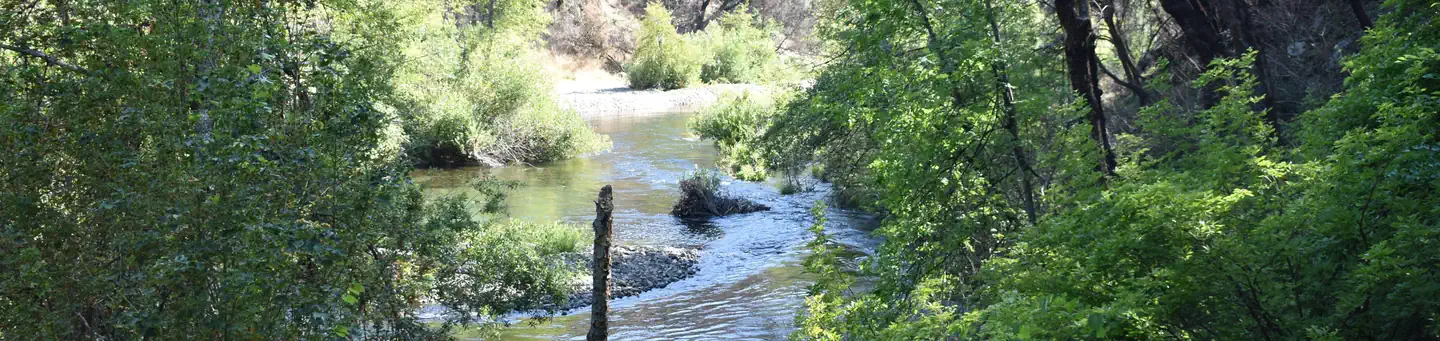 Peltier Bridge Primitive CampgroundSaltwater fishing6.1 mi
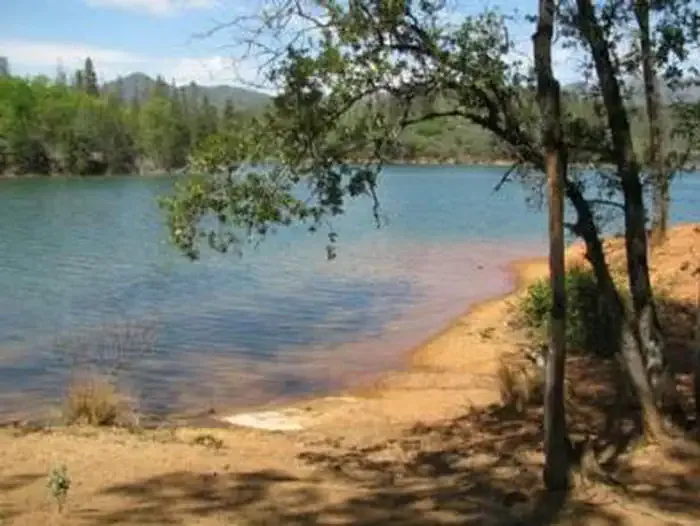 DRY CREEK GROUP CAMPGROUND (Whiskeytown NRA)CampingPhoto: Recreation.gov (RIDB) / public domain6.8 mi
- Redding AreaRock climbing6.9 mi
- Waydalmem CreekCanoeing7.4 mi
- Mary Fork BouldersRock climbing7.6 mi
Source: Roamze catalog (indexable pages within 10 miles, PostGIS distance)
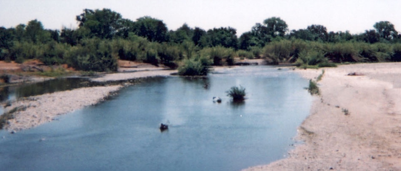 Cottonwood CreekCanoeing · ~29 min drivePhoto: US Forest Service, Public domain (via Wikimedia Commons)
- Posse Grounds Boat RampBoat launch · ~8 min drive
- Cooper Gulch CampgroundTubing · ~34 min drive
- North Fork Waydalmem CreekCanoeing · ~16 min drive
- Centimudi Public Boat RampBoat launch · ~11 min drive
- Minersville CampgroundTubing · ~41 min drive
- Stillwater CreekCanoeing · ~16 min drive
- Drift Boat LaunchBoat launch · ~14 min drive
- Dry CreekCanoeing · ~19 min drive
- Packers Bay Public Boat RampBoat launch · ~20 min drive
Best time to visit Keswick Launch Ramp
Best months: April–May and October–November. Best months have typical highs of 55–85 °F, lows of 30 °F or warmer (32 °F where the station doesn't record snow), at most one snowy day and no more than 12 wet days.
Jan
55° / 40°
14 wet
Feb
59° / 42°
13 wet
Mar
63° / 44°
13 wet
Apr
70° / 48°
10 wet
May
79° / 55°
8 wet
Jun
88° / 63°
3 wet
Jul
97° / 69°
1 wet
Aug
96° / 68°
1 wet
Sep
90° / 63°
2 wet
Oct
78° / 55°
5 wet
Nov
62° / 46°
10 wet
Dec
54° / 41°
13 wet
Typical high / low (°F) and days with rain or snow, 1991–2020. Measured at Shasta Dam, CA, 6 mi away at 1,075 ft. This station doesn't record snowfall. Source: NOAA NCEI U.S. Climate Normals 1991–2020.
Map and trail data © OpenStreetMap contributors
