
Paddling · 14 spots
Featured spots
All spots · 14 spots
Canoeing
Knopti Creek
Gasquet, California

Canoeing
Little Jones Creek
Gasquet, California

Canoeing
Middle Fork Smith River
Gasquet, California

Canoeing
Monkey Creek
Gasquet, California

Canoeing
Patrick Creek
Gasquet, California
Canoeing
Shelly Creek
Gasquet, California
Canoeing
Siskiyou Fork
Gasquet, California

Canoeing
South Siskiyou Fork
Gasquet, California
Canoeing
Stony Creek
Gasquet, California
Keep exploring — more water worth the drive
 Photo: BigT67, CC BY-SA 3.0 (via Wikimedia Commons)
Smith River
~21 min drive
Smith River is a 0.1-mile paddling stretch near Crescent City, California. It flows year-round. USGS models an average flow of about 1,628 cfs. Land along it is managed by the U.S. Forest Service.
Grassy Flat Campground
~6 min drive
A worthwhile stop near California.
North Fork River Access
~17 min drive
A worthwhile stop near California.
 Photo: United States Forest Service, Public domain (via Wikimedia Commons)
Winchuck River
~33 min drive
Winchuck River is a 6.3-mile paddling stretch near Brookings, Oregon. It flows year-round. USGS models an average flow of about 315 cfs and a gradient of about 18.3 feet per mile. Land along it is managed by the U.S. Forest Service.
Wingate Bar Boating Site
~39 min drive
A worthwhile stop near California.
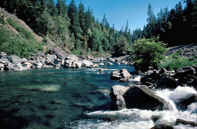 Photo: Lee Webb, Public domain (via Wikimedia Commons)
Chetco River
~40 min drive
Chetco River is a 13-mile paddling stretch near Brookings, Oregon. It flows year-round. USGS models an average flow of about 2,736 cfs and a gradient of about 125.9 feet per mile. Land along it is managed by the U.S. Forest Service.
Ferry Point River Access
~42 min drive
A worthwhile stop near California.
Patrick Creek
~3 min drive
Patrick Creek is a 3.4-mile paddling stretch near Gasquet, California. It flows year-round. USGS models an average flow of about 113 cfs and a gradient of about 117.6 feet per mile. Land along it is managed by the U.S. Forest Service.
Little Jones Creek
~3 min drive
Little Jones Creek is a 3.5-mile paddling stretch near Gasquet, California. It flows year-round. USGS models an average flow of about 51 cfs and a gradient of about 131.2 feet per mile. Land along it is managed by the U.S. Forest Service.
Monkey Creek
~6 min drive
Monkey Creek is a 7.6-mile paddling stretch near Gasquet, California. It flows year-round. USGS models an average flow of about 47 cfs and a gradient of about 250.8 feet per mile. Land along it is managed by the U.S. Forest Service.
Middle Fork Smith River
~7 min drive
Middle Fork Smith River is a 20-mile paddling stretch near Gasquet, California. It is ephemeral and may run dry in some seasons. USGS models an average flow of about 521 cfs and a gradient of about 186.1 feet per mile. Land along it is managed by the U.S. Forest Service.
Siskiyou Fork
~7 min drive
Siskiyou Fork is a 9.3-mile paddling stretch near Gasquet, California. It is intermittent and may run dry in some seasons. USGS models an average flow of about 135 cfs and a gradient of about 327.6 feet per mile. Land along it is managed by the U.S. Forest Service.

