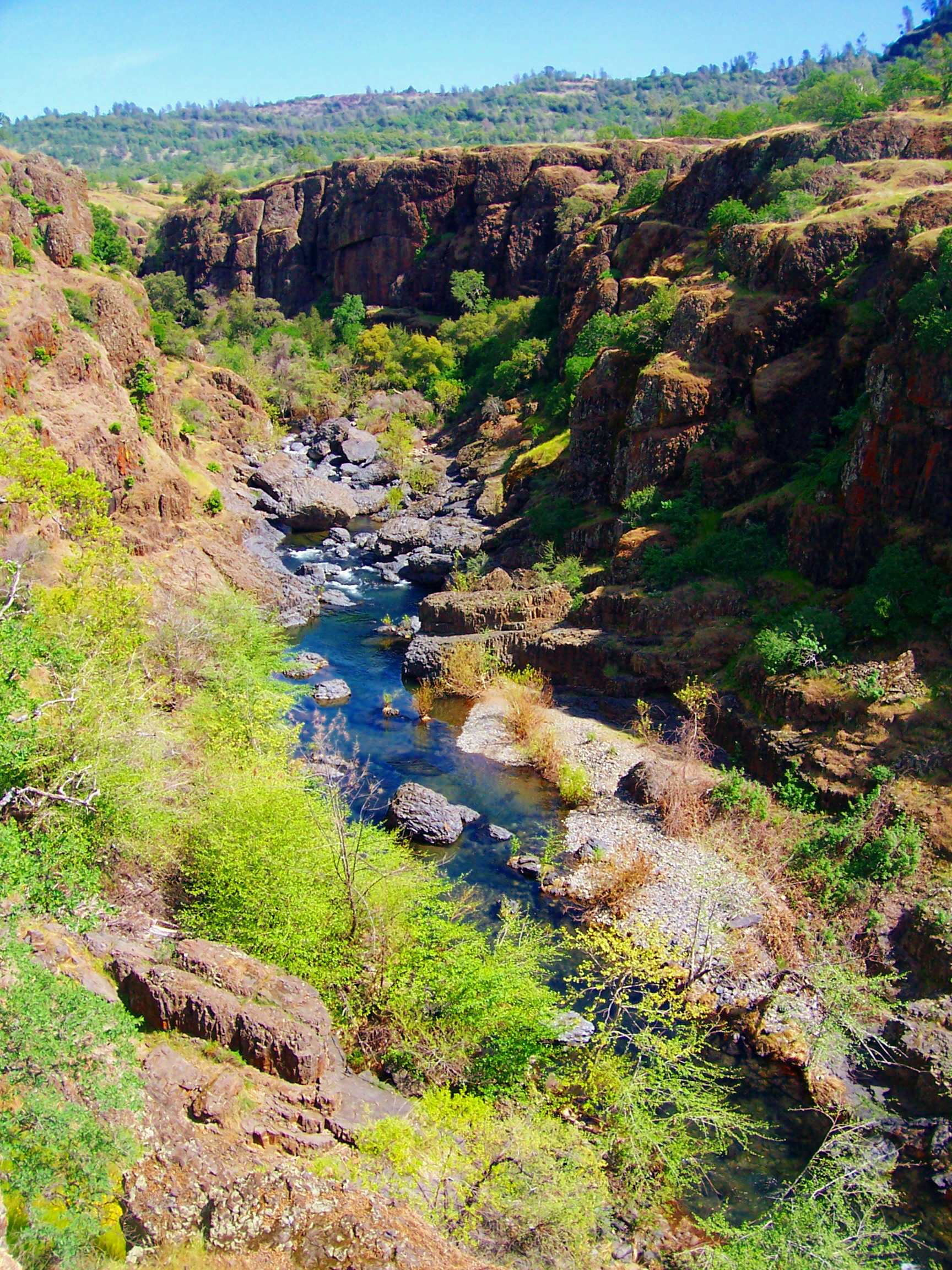
Deer Creek
 Photo: Kmmontandon at English Wikipedia, Public domain (via Wikimedia Commons)
- 20.2 mi
- distance
- 5,449 ft
- high point
- May–Oct
- best months
Is Deer Creek open right now?
Closure in the area
There's a closure order in Lassen National Forest. It doesn't name Deer Creek, so check the source for the area it covers (3 listed).
Harmful Algal Blooms
Agency closure covering Lassen National Forest · USFS · Lassen National Forest
Forest Road Closure Order
Agency closure covering Lassen National Forest · Order 06-26-01 · USFS · Lassen National Forest
SAFETY ALERT - South Antelope Bridge out, Do Not Cross
Agency closure covering Lassen National Forest · USFS · Lassen National Forest
As of · Source: USFS · Lassen National Forest. Agencies don't list every closure — check before you go.
Deer Creek is a canoeing route in California's Ishi Wilderness, within the Almanor Ranger District of Lassen National Forest. The Forest Service manages the land, and the nearest town is Mineral, about 20 miles away. Summer is the most comfortable time to paddle. Typical averages from a nearby weather station in Mineral show July and August highs around 82°F with lows in the low 40s, while winter highs sit in the low 40s and lows near 24°F. Several trails start close by. The Deep Hole Tie Ishi and Buena Vista Trail Ishi are each about half a mile away, and the Deer Creek Ishi trail is about a mile off. For an overnight stay, Black Rock campground is roughly 7 miles away.
Local outfitters
- Headwaters Adventure Co46 mi away
Not on Roamze yet. Their page has how to reach them.
- Deep Hole Tie IshiHiking0.5 mi
- BUENA VISTA TRAIL ISHIHiking0.5 mi
- DEER CREEK ISHIHiking1.1 mi
- Grahams PineryHiking3.2 mi
- Lassen Trail IshiHiking3.3 mi
- Black RockCamping7.2 mi
- The MillRock climbing7.5 mi
- Mill CreekCanoeing8.4 mi
Source: Roamze catalog (indexable pages within 10 miles, PostGIS distance)
 Big Chico CreekCanoeing · ~26 min drivePhoto: Ebryden at English Wikipedia, Public domain (via Wikimedia Commons)
- Red Bluff Recreation Area Boat RampBoat launch · ~40 min drive
 Battle CreekCanoeing · ~45 min drivePhoto: Richard Jordana, Public domain (via Wikimedia Commons)
- Jelly's FerryBoat launch · ~47 min drive
 North Fork Feather RiverCanoeing · ~51 min drivePhoto: Mrgooseskin at English Wikipedia., CC BY-SA 3.0 (via Wikimedia Commons)
- Manzanita Lake Boat LaunchBoat launch · ~56 min drive
- Mill CreekCanoeing · ~14 min drive
- Almanor Boat LaunchBoat launch · ~56 min drive
- South Fork Antelope CreekCanoeing · ~18 min drive
- Dye CreekCanoeing · ~23 min drive
Best time to visit Deer Creek
Best months: May–October. Best months have typical highs of 55–85 °F, lows of 30 °F or warmer (32 °F where the station doesn't record snow), at most one snowy day and no more than 12 wet days.
Jan
43° / 24°
Feb
45° / 24°
Mar
49° / 26°
Apr
54° / 29°
May
63° / 35°
Jun
73° / 40°
Jul
82° / 44°
Aug
82° / 42°
Sep
77° / 38°
Oct
64° / 32°
Nov
50° / 27°
Dec
42° / 24°
Typical high / low (°F) and days with rain or snow, 1991–2020. Measured at Mineral, CA, 19.6 mi away at 4,875 ft. The station sits about 600 ft lower than this place, so expect it a little cooler here. This station doesn't record snowfall. Source: NOAA NCEI U.S. Climate Normals 1991–2020.

