Paynes Creek
- 25.1 mi
- distance
- 3,172 ft
- high point
- Feb–Jun, Oct–Nov
- best months
Paynes Creek is a canoeing spot in California, about 2.7 miles from the community of Paynes Creek. It sits among a cluster of paddling waters, with Plum Creek and Battle Creek both within about 8 miles. Spring and fall are the most comfortable times to paddle. Typical averages from a nearby weather station show May highs around 74°F and October highs around 74°F, while July and August average about 91°F. That station sits roughly 460 feet lower than the creek, so temperatures here run a little cooler. Plum Creek is the closest paddling neighbor at about 4 miles away, and Battle Creek is about 7.6 miles off. For time on foot, McClure Trail is about 6.8 miles away and Hog Lake Trail about 8.9 miles.
Local outfitters
- Headwaters Adventure Co27 mi away
Not on Roamze yet. Their page has how to reach them.
- Plum CreekCanoeing4.2 mi
- Mcclure TrailHiking6.8 mi
 Battle CreekCanoeingPhoto: Richard Jordana, Public domain (via Wikimedia Commons)7.6 mi
- Hog Lake TrailHiking8.9 mi
- Antelope CreekCanoeing9.6 mi
- Indian RidgeHiking9.9 mi
Source: Roamze catalog (indexable pages within 10 miles, PostGIS distance)
- Battle CreekCanoeing · ~13 min drivePhoto: Richard Jordana, Public domain (via Wikimedia Commons)
- Jelly's FerryBoat launch · ~21 min drive
 Deer CreekCanoeing · ~33 min drivePhoto: Kmmontandon at English Wikipedia, Public domain (via Wikimedia Commons)
- Red Bluff Recreation Area Boat RampBoat launch · ~29 min drive
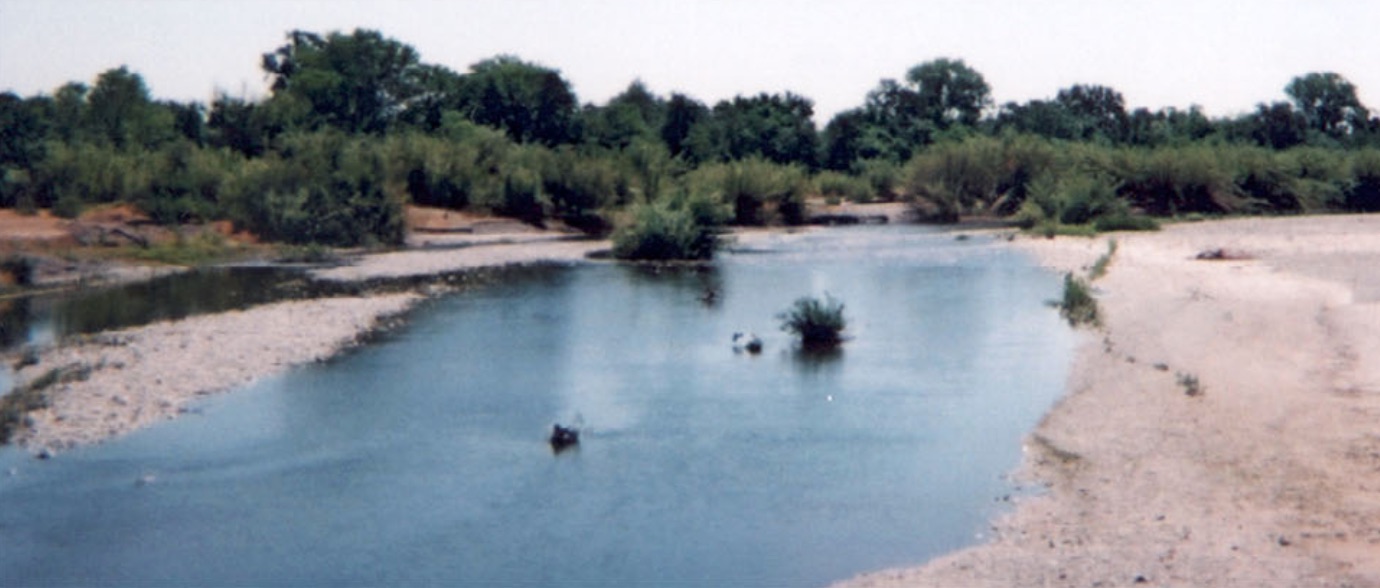 Cottonwood CreekCanoeing · ~52 min drivePhoto: US Forest Service, Public domain (via Wikimedia Commons)
- Manzanita Lake Boat LaunchBoat launch · ~44 min drive
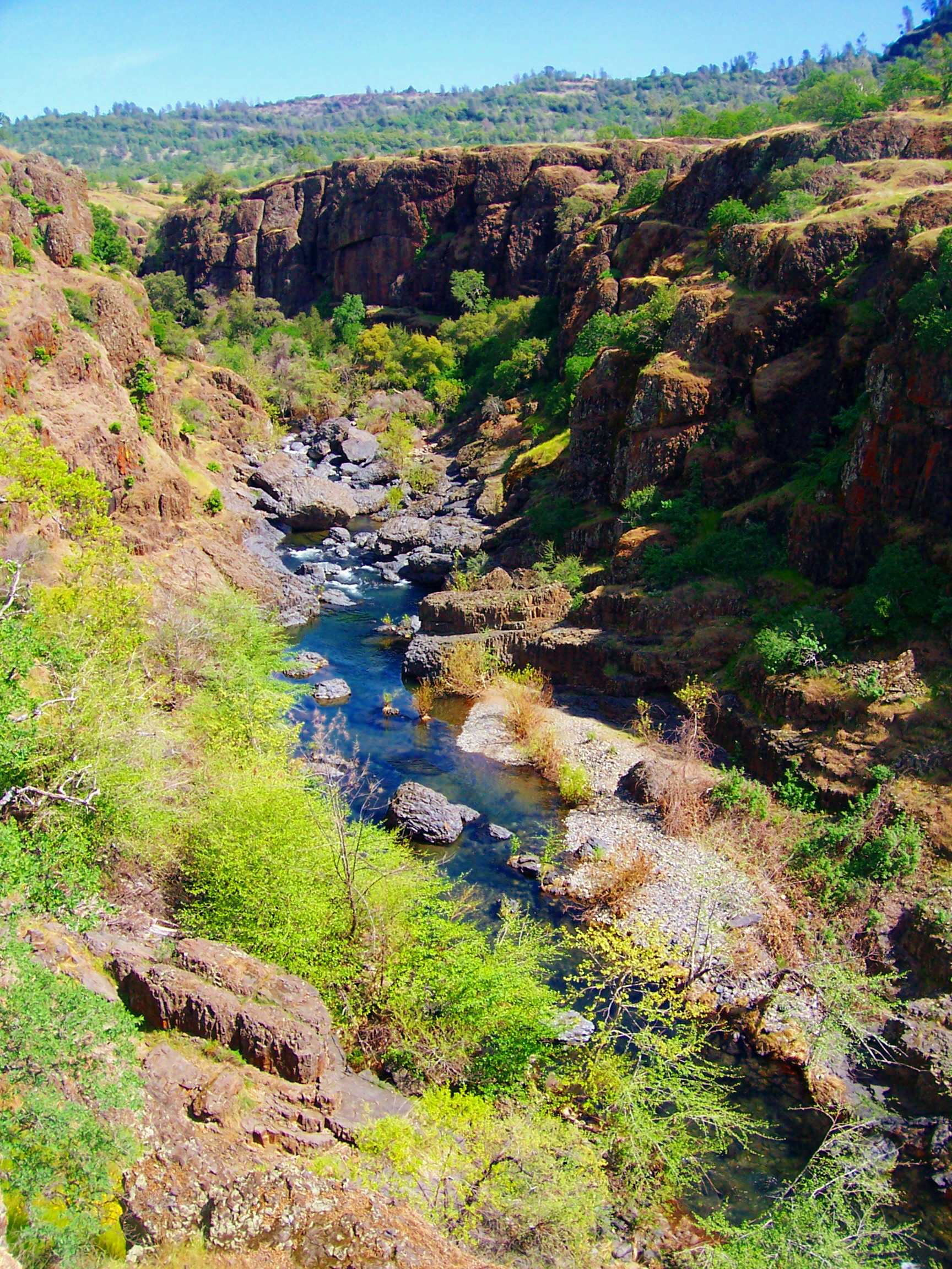 Big Chico CreekCanoeing · ~57 min drivePhoto: Ebryden at English Wikipedia, Public domain (via Wikimedia Commons)
- Drift Boat LaunchBoat launch · ~44 min drive
- Plum CreekCanoeing · ~7 min drive
- Posse Grounds Boat RampBoat launch · ~50 min drive
Best time to visit Paynes Creek
Best months: February–June and October–November. Best months have typical highs of 55–85 °F, lows of 30 °F or warmer (32 °F where the station doesn't record snow), at most one snowy day and no more than 12 wet days.
Jan
53° / 35°
13 wet
Feb
55° / 35°
12 wet
Mar
60° / 37°
12 wet
Apr
66° / 40°
9 wet
May
74° / 47°
7 wet
Jun
84° / 53°
3 wet
Jul
91° / 58°
1 wet
Aug
91° / 57°
1 wet
Sep
86° / 53°
2 wet
Oct
74° / 46°
6 wet
Nov
59° / 38°
10 wet
Dec
51° / 34°
13 wet
Typical high / low (°F) and days with rain or snow, 1991–2020. Measured at De Sabla, CA, 36.1 mi away at 2,710 ft. Source: NOAA NCEI U.S. Climate Normals 1991–2020.

