Alder Trail Camp
Campground
Campground · 2.1 mi from the trail
Scott Creek is a 10-mile paddling stretch near Davenport, California, with the town of Swanton about 2.4 miles away. It flows year-round, with USGS models estimating an average flow of about 36 cubic feet per second and a gradient of about 124.2 feet per mile. Spring and fall are the most comfortable times to paddle. Typical averages from a nearby weather station at Ben Lomond show May highs around 80°F with only about four wet days, and October highs near 83°F. That station sits well below the creek, so temperatures on the water run cooler. Trails sit close by, with Mill Creek Truck Trail about a mile away and Penstock Truck Trail at 1.3 miles. The Skyline To The Sea Trail is about 2.3 miles off. Big Basin State Park, about 4 miles away, offers climbing.
Alder Trail Camp
Campground
 If it rainsMrwrite, CC BY-SA 3.0 · Wikimedia Commons
Places © OpenStreetMap contributors · Photos: Mrwrite, CC BY-SA 3.0 (commons)
More in PescaderoNot on Roamze yet. Their page has how to reach them.
 Mill Creek Truck TrailHikingPhoto: Reforma.imufomot, CC BY-SA 3.0 (via Wikimedia Commons)1.1 mi
 Penstock Truck TrailHikingPhoto: Reforma.imufomot, CC BY-SA 3.0 (via Wikimedia Commons)1.3 mi
 Clark Connector TrailHikingPhoto: dbaron, CC BY-SA 2.0 (via Flickr)2.1 mi
 Hoover Nature TrailHikingPhoto: jjron, GFDL 1.2 (via Wikimedia Commons)2.2 mi
 Skyline To The Sea TrailHikingPhoto: ahisgett, CC BY 2.0 (via Flickr)2.3 mi
 Skyline To The Sea Bypass TrailHikingPhoto: dbaron, CC BY-SA 2.0 (via Flickr)2.3 mi
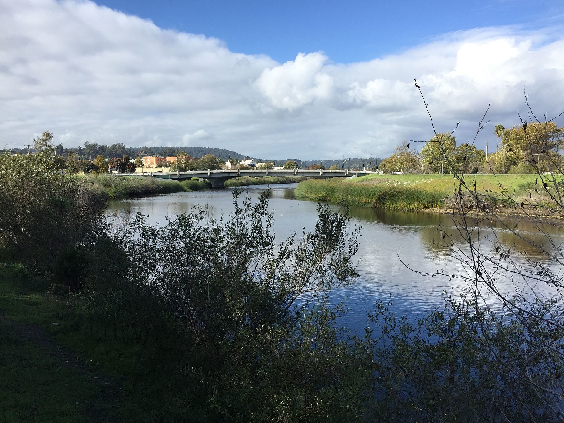 San Lorenzo RiverCanoeingPhoto: Chevy111, CC BY-SA 4.0 (via Wikimedia Commons)7.9 mi
Source: Roamze catalog (indexable pages within 10 miles, PostGIS distance)
San Lorenzo RiverCanoeing · ~13 min drivePhoto: Chevy111, CC BY-SA 4.0 (via Wikimedia Commons) Coyote CreekCanoeing · ~52 min drivePhoto: Dicklyon, CC BY-SA 4.0 (via Wikimedia Commons)
 Uvas CreekCanoeing · ~55 min drivePhoto: Uvaseastman, CC BY-SA 4.0 (via Wikimedia Commons)
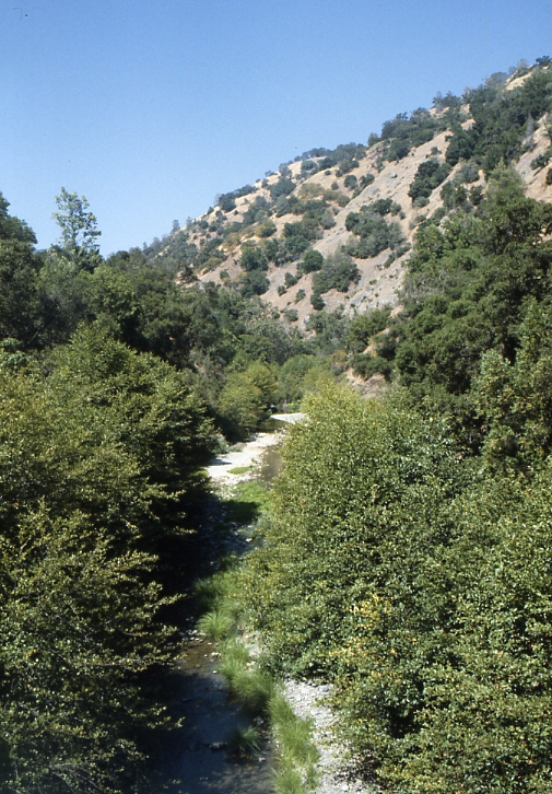 Arroyo HondoCanoeing · ~1h 2m drivePhoto: Robert A. Leidy PhD, US EPA, Public domain (via Wikimedia Commons)
 Alameda CreekCanoeing · ~1h 3m drivePhoto: Pi.1415926535, CC BY-SA 4.0 (via Wikimedia Commons)
Best months: October–June. Best months have typical highs of 55–85 °F, lows of 30 °F or warmer (32 °F where the station doesn't record snow), at most one snowy day and no more than 12 wet days.
Jan
65° / 37°
12 wet
Feb
67° / 39°
12 wet
Mar
71° / 40°
10 wet
Apr
75° / 42°
7 wet
May
80° / 46°
4 wet
Jun
85° / 49°
2 wet
Jul
88° / 51°
0 wet
Aug
90° / 51°
1 wet
Sep
89° / 49°
1 wet
Oct
83° / 44°
4 wet
Nov
71° / 40°
8 wet
Dec
64° / 37°
12 wet
Typical high / low (°F) and days with rain or snow, 1991–2020. Measured at Ben Lomond #4, CA, 8.7 mi away at 420 ft. The station sits about 900 ft lower than this place, so expect it a little cooler here. Source: NOAA NCEI U.S. Climate Normals 1991–2020.
