Treasure Island RV Park
Campground
Campground · 8.6 mi from the trail
Windsurf launch is a boat launch in Coyote Point Recreation Area, on county land in California, about 1.8 miles from Burlingame. Late summer into early fall is the driest and warmest stretch. Typical averages from a nearby weather station show September highs around 75°F with lows near 56°F and almost no wet days, while winter brings highs in the upper 50s and about 11 wet days a month. The closest outings are the San Francisco Bay Area climbing area, about 3.4 miles away, and the Creek Overlook Trail and Amphitheater Trail, both a little over 4 miles off. Handley Rock Park, a climbing area about 9 miles away, rounds out the options.
Treasure Island RV Park
Campground
 If it rainsBrokenSphere, CC BY-SA 3.0 · Wikimedia Commons
Aerospace museum in San Carlos, California
Places © OpenStreetMap contributors, Places © Overture Maps Foundation · Photos: BrokenSphere, CC BY-SA 3.0 (commons)
More in Pescadero San Andreas TrailHikingPhoto: Vicki Moore from San Mateo, USA, CC BY 2.0 (via Wikimedia Commons)4.6 mi
Source: Roamze catalog (indexable pages within 10 miles, PostGIS distance)
 Arroyo de la LagunaCanoeing · ~42 min drivePhoto: Alameda County Resource Conservation District, CC BY-SA 4.0 (via Wikimedia Commons)
 Alameda CreekCanoeing · ~47 min drivePhoto: Pi.1415926535, CC BY-SA 4.0 (via Wikimedia Commons)
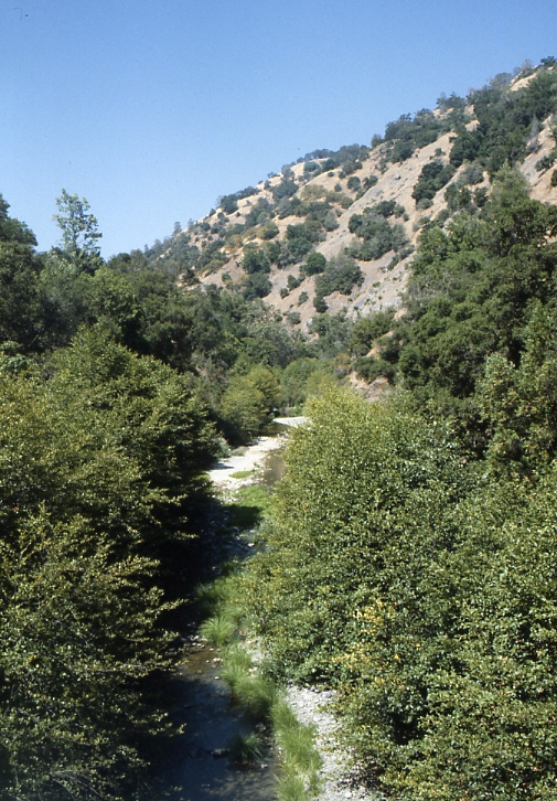 Arroyo HondoCanoeing · ~60 min drivePhoto: Robert A. Leidy PhD, US EPA, Public domain (via Wikimedia Commons)
 Arroyo ValleCanoeing · ~1h 1m drivePhoto: Michael C. Berch, CC BY-SA 3.0 (via Wikimedia Commons)
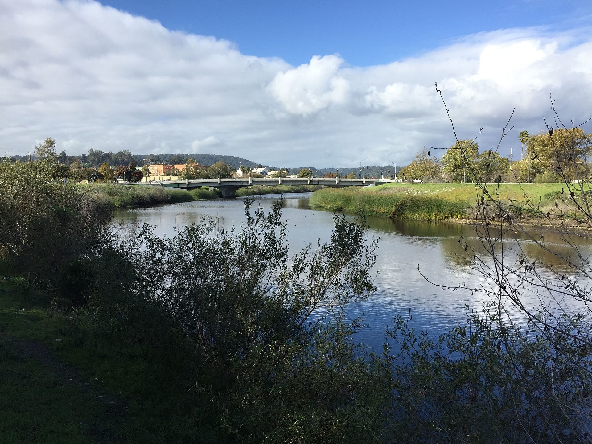 San Lorenzo RiverCanoeing · ~1h 2m drivePhoto: Chevy111, CC BY-SA 4.0 (via Wikimedia Commons)
Best months: Year-round. Best months have typical highs of 55–85 °F, lows of 30 °F or warmer (32 °F where the station doesn't record snow), at most one snowy day and no more than 12 wet days.
Jan
58° / 45°
11 wet
Feb
61° / 46°
10 wet
Mar
63° / 48°
10 wet
Apr
66° / 49°
6 wet
May
68° / 52°
3 wet
Jun
72° / 54°
1 wet
Jul
73° / 55°
0 wet
Aug
73° / 56°
0 wet
Sep
75° / 56°
1 wet
Oct
72° / 53°
3 wet
Nov
64° / 49°
7 wet
Dec
58° / 45°
11 wet
Typical high / low (°F) and days with rain or snow, 1991–2020. Measured at San Francisco Intl Ap, CA, 2.9 mi away at 8 ft. This station doesn't record snowfall. Source: NOAA NCEI U.S. Climate Normals 1991–2020.
Map and trail data © OpenStreetMap contributors

