Treasure Island RV Park
Campground
Campground · 8.6 mi from the trail
Clear today
Weather is good · OpenWeather · checked 11 h ago
Kite launch is a boat launch in Coyote Point Recreation Area on County Land in California, about 2 miles from Burlingame. The launch makes a straightforward put-in for getting a kite on the water. The surrounding area pairs well with the trails and climbing spots in the San Francisco Bay Area, which sits about 3 miles away. Late summer into early fall is the driest stretch, with typical highs around 73 to 75°F and almost no wet days from July through September, according to averages from a nearby weather station. Winter is cooler and wetter, with typical highs near 58°F and about 11 wet days a month from December through January. Nearby, the Creek Overlook Trail and Amphitheater Trail are both about 4 miles away. The San Francisco Bay Area climbing area is about 3 miles off, and Handley Rock Park is roughly 9 miles away.
Treasure Island RV Park
Campground
 If it rainsBrokenSphere, CC BY-SA 3.0 · Wikimedia Commons
Aerospace museum in San Carlos, California
Places © OpenStreetMap contributors, Places © Overture Maps Foundation · Photos: BrokenSphere, CC BY-SA 3.0 (commons)
More in Pescadero San Andreas TrailHikingPhoto: Vicki Moore from San Mateo, USA, CC BY 2.0 (via Wikimedia Commons)4.7 mi
Source: Roamze catalog (indexable pages within 10 miles, PostGIS distance)
 Arroyo de la LagunaCanoeing · ~42 min drivePhoto: Alameda County Resource Conservation District, CC BY-SA 4.0 (via Wikimedia Commons)
 Alameda CreekCanoeing · ~46 min drivePhoto: Pi.1415926535, CC BY-SA 4.0 (via Wikimedia Commons)
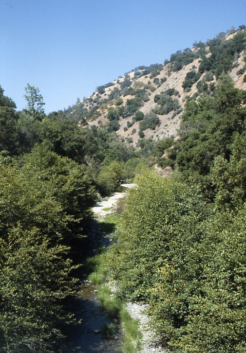 Arroyo HondoCanoeing · ~60 min drivePhoto: Robert A. Leidy PhD, US EPA, Public domain (via Wikimedia Commons)
 Arroyo ValleCanoeing · ~1h 1m drivePhoto: Michael C. Berch, CC BY-SA 3.0 (via Wikimedia Commons)
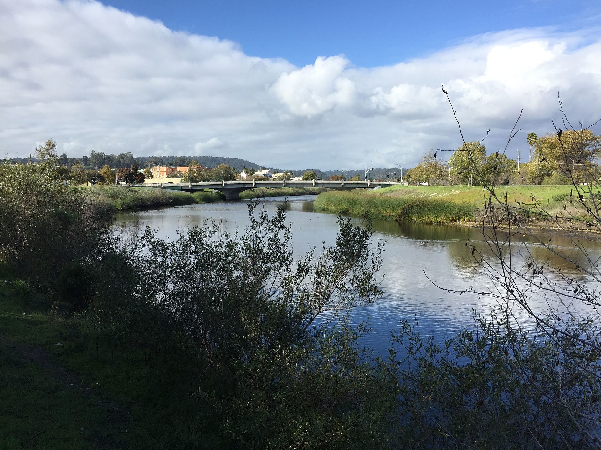 San Lorenzo RiverCanoeing · ~1h 2m drivePhoto: Chevy111, CC BY-SA 4.0 (via Wikimedia Commons)
Best months: Year-round. Best months have typical highs of 55–85 °F, lows of 30 °F or warmer (32 °F where the station doesn't record snow), at most one snowy day and no more than 12 wet days.
Jan
58° / 45°
11 wet
Feb
61° / 46°
10 wet
Mar
63° / 48°
10 wet
Apr
66° / 49°
6 wet
May
68° / 52°
3 wet
Jun
72° / 54°
1 wet
Jul
73° / 55°
0 wet
Aug
73° / 56°
0 wet
Sep
75° / 56°
1 wet
Oct
72° / 53°
3 wet
Nov
64° / 49°
7 wet
Dec
58° / 45°
11 wet
Typical high / low (°F) and days with rain or snow, 1991–2020. Measured at San Francisco Intl Ap, CA, 2.9 mi away at 8 ft. This station doesn't record snowfall. Source: NOAA NCEI U.S. Climate Normals 1991–2020.
Map and trail data © OpenStreetMap contributors

