Greyhound Rock Access
About
Greyhound Rock Access is a public ocean beach in California, about 6 miles from the town of Davenport. It's a straightforward stop with restrooms and accessible access, and there is no fee to visit. Dogs are allowed, so it works well for a beach day with a pet. For comfortable weather, late spring and early fall are the sweet spots. Typical averages from a nearby weather station show May highs around 80°F with only about four wet days, and October highs near 83°F with similar dry conditions. Midsummer runs hotter, with August highs averaging about 90°F. Several trails sit close by. Hoover Nature Trail is about 1.3 miles away, and Mill Creek Truck Trail and Penstock Truck Trail are each within about 1.5 miles. Scott Creek, a canoeing spot, is about 2 miles off.
Beach Details
Lifeguards
None
Dogs
Allowed
Parking
Available
Fee
Free
Restrooms
Yes
Accessible access
Yes
As published by the managing agency. Lifeguards, fees and dog rules are often seasonal, so check posted signs before you swim.
Location
Greyhound Rock Access
California
Data: California Coastal Commission, YourCoast public access data. Source metadata
Facts about this place
When to go
Best time to go: Oct–Jun. The mildest months here, with typical highs of 64–85°F and lows of 37–49°F.
Typical monthly averages (not a forecast) from the Ben Lomond #4, CA weather station, 10 mi away. High / low in °F, and days with snow.
- Jan65° high37° low
- Feb67° high39° low
- Mar71° high40° low
- Apr75° high42° low
- May80° high46° low
- Jun85° high49° low
- Jul88° high51° low
- Aug90° high51° low
- Sep89° high49° low
- Oct83° high44° low
- Nov71° high40° low
- Dec64° high37° low
Nearby
 Hoover Nature TrailHikingPhoto: jjron, GFDL 1.2 (via Wikimedia Commons)1.3 mi
 Mill Creek Truck TrailHikingPhoto: Reforma.imufomot, CC BY-SA 3.0 (via Wikimedia Commons)1.4 mi
 Penstock Truck TrailHikingPhoto: Reforma.imufomot, CC BY-SA 3.0 (via Wikimedia Commons)1.5 mi
 Skyline To The Sea TrailHikingPhoto: ahisgett, CC BY 2.0 (via Flickr)1.6 mi
 Skyline To The Sea Bypass TrailHikingPhoto: dbaron, CC BY-SA 2.0 (via Flickr)1.7 mi
- Scott CreekCanoeing2 mi
- Big Basin State ParkRock climbing5.7 mi
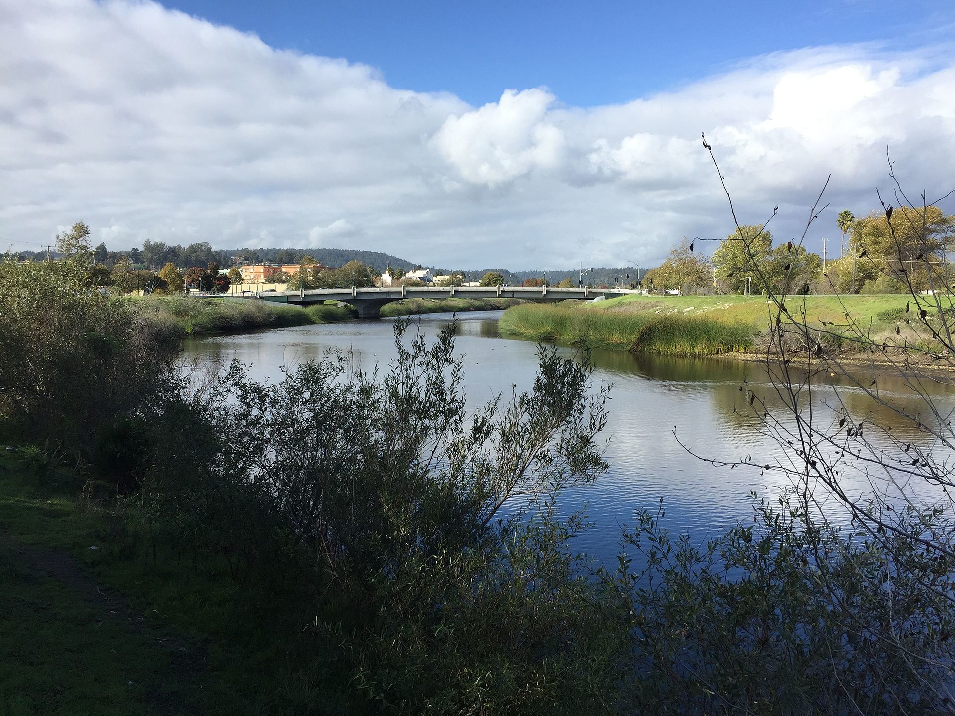 San Lorenzo RiverCanoeingPhoto: Chevy111, CC BY-SA 4.0 (via Wikimedia Commons)9.5 mi
Source: Roamze catalog (indexable pages within 10 miles, PostGIS distance)
Best time to visit Greyhound Rock Access
Best months: October–June. Best months have typical highs of 55–85 °F, lows of 30 °F or warmer (32 °F where the station doesn't record snow), at most one snowy day and no more than 12 wet days.
Jan
65° / 37°
12 wet
Feb
67° / 39°
12 wet
Mar
71° / 40°
10 wet
Apr
75° / 42°
7 wet
May
80° / 46°
4 wet
Jun
85° / 49°
2 wet
Jul
88° / 51°
0 wet
Aug
90° / 51°
1 wet
Sep
89° / 49°
1 wet
Oct
83° / 44°
4 wet
Nov
71° / 40°
8 wet
Dec
64° / 37°
12 wet
Typical high / low (°F) and days with rain or snow, 1991–2020. Measured at Ben Lomond #4, CA, 10.3 mi away at 420 ft. We don't have this place's elevation, so higher spots nearby can run cooler. Source: NOAA NCEI U.S. Climate Normals 1991–2020.
