Hog Lake Trail
- 3.7 mi
- round trip
- 756 ft
- climb
- 876 ft
- high point
- Out and back
- route
- Oct–May
- best months
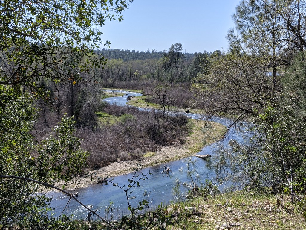
Hog Lake Trail is a 3.68-mile hike on Bureau of Land Management land in the Redding Field Office in California. It starts at the Hog Lake Trailhead and runs as an out-and-back route, with a round-trip distance of about 7.4 miles and a total elevation gain and loss of 756 feet. The route is rated moderate, and its steepest section comes around 3.5 miles in, where the grade reaches about 8%. Spring and fall are the most comfortable times to go. A nearby weather station at Red Bluff, about 11 miles away, records typical averages of highs near 72°F in April and 79°F in October, while July and August average in the mid-90s. Temperatures on the trail run cooler than those figures because the station sits well below the trail's high point of 876 feet. The trip takes about three hours. For more hiking, Iron Canyon Trail is 2.2 miles away and Vista Loop Trail is 3 miles away. Antelope Creek, a paddling spot, is 7.7 miles off, and Camp Discovery Group Camp offers camping about 9.5 miles away.
 Iron Canyon TrailHikingPhoto: Peter Alfred Hess, CC BY 2.0 (via Flickr)2.2 mi
- Vista Loop TrailHiking3 mi
- Yana TrailHiking4.4 mi
- Antelope CreekCanoeing7.7 mi
- Paynes CreekCanoeing8.9 mi
- Camp Discovery Group CampCamping9.5 mi
- Sycamore Grove Camp GroundCamping9.5 mi
- Sycamore Grove (red Bluff) CampgroundCamping9.5 mi
Source: Roamze catalog (indexable pages within 10 miles, PostGIS distance)
- Iron Canyon TrailHiking · ~4 min drivePhoto: Peter Alfred Hess, CC BY 2.0 (via Flickr)
- Iron Canyon TrailHiking · ~5 min drivePhoto: Peter Alfred Hess, CC BY 2.0 (via Flickr)
 MILL CREEKHiking · ~38 min drivePhoto: g.bertschinger, CC BY-SA 2.0 (via Flickr)
- Yana TrailHiking · ~8 min drive
 Clear Creek TrailHiking · ~38 min drivePhoto: USFWS Pacific Southwest Region, Public Domain Mark (via Flickr)
 LAKE RED BLUFF TRAILHiking · ~15 min drivePhoto: Peter Alfred Hess, CC BY 2.0 (via Flickr)
- Lassen TrailHiking · ~30 min drive
- TURNER MOUNTAINHiking · ~42 min drive
- Boat Gunwale Tie IshiHiking · ~39 min drivePhoto: g.bertschinger, CC BY-SA 2.0 (via Flickr)
 SHASTA VIEW TRAILHiking · ~16 min drivePhoto: PunkToad, CC BY 2.0 (via Flickr)
Best time to visit Hog Lake Trail
Best months: October–May. Best months have typical highs of 55–85 °F, lows of 30 °F or warmer (32 °F where the station doesn't record snow), at most one snowy day and no more than 12 wet days.
Jan
56° / 38°
10 wet
Feb
61° / 41°
10 wet
Mar
66° / 44°
9 wet
Apr
72° / 47°
7 wet
May
82° / 55°
5 wet
Jun
91° / 62°
2 wet
Jul
98° / 66°
1 wet
Aug
96° / 64°
0 wet
Sep
91° / 59°
1 wet
Oct
79° / 51°
4 wet
Nov
64° / 43°
8 wet
Dec
56° / 38°
10 wet
Typical high / low (°F) and days with rain or snow, 1991–2020. Measured at Red Bluff Muni Ap, CA, 11.2 mi away at 353 ft. The station sits about 500 ft lower than this place, so expect it a little cooler here. This station doesn't record snowfall. Source: NOAA NCEI U.S. Climate Normals 1991–2020.

Map and trail data © OpenStreetMap contributors
