Mcclure Trail
- 10.9 mi
- round trip
- 1,516 ft
- climb
- 2,748 ft
- high point
- Out and back
- route
- Feb–Jun, Oct–Nov
- best months
Caution at last check
Agency alerts are in effect for this area; weather is good · USFS, OpenWeather · checked 17 h ago
Is Mcclure Trail open right now?
Closure in the area
There's a closure order in Lassen National Forest. It doesn't name Mcclure Trail, so check the source for the area it covers (3 listed).
Harmful Algal Blooms
Agency closure covering Lassen National Forest · USFS · Lassen National Forest
Forest Road Closure Order
Agency closure covering Lassen National Forest · Order 06-26-01 · USFS · Lassen National Forest
SAFETY ALERT - South Antelope Bridge out, Do Not Cross
Agency closure covering Lassen National Forest · USFS · Lassen National Forest
As of · Source: USFS · Lassen National Forest. Agencies don't list every closure — check before you go.
McClure Trail is a 10.9-mile out-and-back route in California's Lassen National Forest, within the Almanor Ranger District. It rises from a low point of 1,392 feet to a high of 2,748 feet, with an elevation gain of 1,516 feet one way, and it's rated hard. The trail is natural-surfaced and open from April 1 to November 1. Horses and bikes are both allowed, so the route works for riders as well as hikers. Late spring and early fall are the most comfortable times to go. Typical averages from the nearby De Sabla weather station run to highs around 74°F in May and October, with fewer wet days in summer. That station sits at nearly the same elevation as the trail's high point. Plum Creek, about 3 miles away, and Indian Ridge, about 4 miles away, are the closest nearby options. South Fork Antelope Creek and Horseback Ridge lie a little farther out.
- Plum CreekCanoeing3.1 mi
- Indian RidgeHiking4.3 mi
- South Fork Antelope CreekCanoeing4.9 mi
- HORSEBACK RIDGEHiking5.6 mi
- RANCHERIA TRAIL ISHIHiking5.9 mi
- Paynes CreekCanoeing6.8 mi
- The MillRock climbing8.6 mi
- Black RockCamping9.6 mi
Source: Roamze catalog (indexable pages within 10 miles, PostGIS distance)
 MILL CREEKHiking · ~16 min drivePhoto: g.bertschinger, CC BY-SA 2.0 (via Flickr)
- Mill CreekHiking · ~16 min drivePhoto: g.bertschinger, CC BY-SA 2.0 (via Flickr)
- Boat Gunwale Tie IshiHiking · ~16 min drivePhoto: g.bertschinger, CC BY-SA 2.0 (via Flickr)
- TURNER MOUNTAINHiking · ~17 min drive
- Lassen TrailHiking · ~26 min drive
 Iron Canyon TrailHiking · ~29 min drivePhoto: Peter Alfred Hess, CC BY 2.0 (via Flickr)
- Iron Canyon TrailHiking · ~27 min drivePhoto: Peter Alfred Hess, CC BY 2.0 (via Flickr)
- Deer Creek IshiHiking · ~27 min drive
- Buena Vista TrailHiking · ~27 min drive
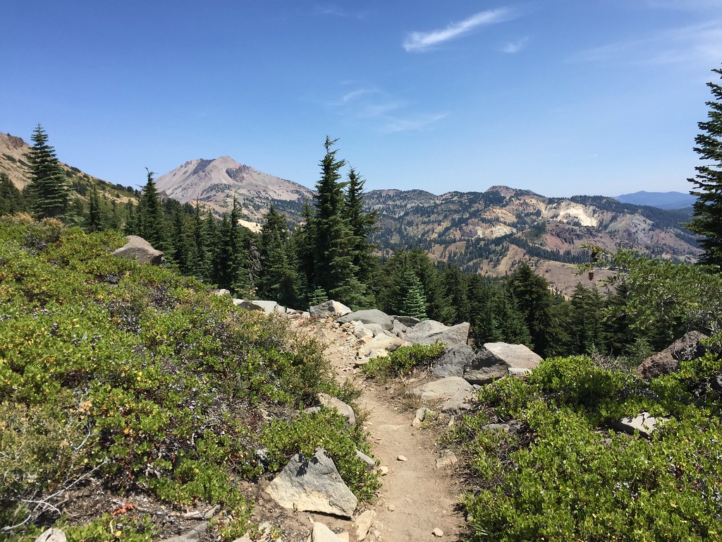 HEART LAKE NRTHiking · ~30 min drivePhoto: ray_explores, CC BY 2.0 (via Flickr)
Best time to visit Mcclure Trail
Best months: February–June and October–November. Best months have typical highs of 55–85 °F, lows of 30 °F or warmer (32 °F where the station doesn't record snow), at most one snowy day and no more than 12 wet days.
Jan
53° / 35°
13 wet
Feb
55° / 35°
12 wet
Mar
60° / 37°
12 wet
Apr
66° / 40°
9 wet
May
74° / 47°
7 wet
Jun
84° / 53°
3 wet
Jul
91° / 58°
1 wet
Aug
91° / 57°
1 wet
Sep
86° / 53°
2 wet
Oct
74° / 46°
6 wet
Nov
59° / 38°
10 wet
Dec
51° / 34°
13 wet
Typical high / low (°F) and days with rain or snow, 1991–2020. Measured at De Sabla, CA, 30.6 mi away at 2,710 ft. Source: NOAA NCEI U.S. Climate Normals 1991–2020.

