Mayfair Ranch Trail
- 1.9 mi
- round trip
- 644 ft
- climb
- Out and back
- route
- Jan–Dec
- best months
Clear at last check
Weather is good · OpenWeather · checked 23 h ago
Mayfair Ranch Trail is a mountain biking route of about 3.7 miles on an out-and-back course within Rancho Cañada del Oro Open Space Preserve in California, on Regional Agency Land. The trail rises from a low point of about 700 feet to a high of about 1,350 feet, with an elevation gain of roughly 640 feet, and it is rated easy. Spring and fall are the most comfortable times to ride. Typical averages from a nearby weather station in Los Gatos show May highs around 75°F and October highs around 76°F, while July and August average about 85°F. That station sits well below the trail, so temperatures on the higher parts run cooler. Longwall Canyon Trail is about 0.7 miles away, and the Needlegrass Trail and Catamount Trail hikes are each within about a mile. Climbers can find Lower Guadalupe Rock about 5 miles off.
Local outfitters
- Half Moon Bay Kayak Company45 mi away
Not on Roamze yet. Their page has how to reach them.
- Longwall Canyon TrailMountain biking0.7 mi
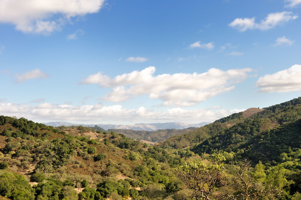 Needlegrass TrailHikingPhoto: donjd2, CC BY 2.0 (via Flickr)0.9 mi
- Catamount TrailHiking1.1 mi
- Lower Guadalupe RockRock climbing5 mi
- Roadside RockRock climbing5.6 mi
- Hicks RoadRock climbing5.6 mi
 Coyote CreekCanoeingPhoto: Dicklyon, CC BY-SA 4.0 (via Wikimedia Commons)7.9 mi
- Soquel CreekCanoeing9.1 mi
Source: Roamze catalog (indexable pages within 10 miles, PostGIS distance)
 Lower Calaveras Fault TrailMountain biking · ~30 min drivePhoto: Douglass Clem, CC BY-SA 3.0 (via Wikimedia Commons)
- Mayfair Ranch TrailMountain biking · Next door
- Oak Cove TrailMountain biking · ~5 min drive
- Cusack's TrailMountain biking · ~10 min drive
- T. LubetMountain biking · ~15 min drive
- Mayfair Ranch TrailMountain biking · Next door
- Flow Trail Segment 2Mountain biking · ~12 min drive
- Braille TrailMountain biking · ~12 min drive
- Peacock Gap TrailMountain biking · ~30 min drive
- Longwall Canyon TrailMountain biking · ~1 min drive
Best time to visit Mayfair Ranch Trail
Best months: Year-round. Best months have typical highs of 55–85 °F, lows of 30 °F or warmer (32 °F where the station doesn't record snow), at most one snowy day and no more than 12 wet days.
Jan
58° / 40°
Feb
62° / 41°
Mar
66° / 43°
Apr
70° / 45°
May
75° / 49°
Jun
82° / 52°
Jul
85° / 56°
Aug
85° / 56°
Sep
83° / 54°
Oct
76° / 49°
Nov
65° / 43°
Dec
58° / 40°
Typical high / low (°F) and days with rain or snow, 1991–2020. Measured at Los Gatos, CA, 10.8 mi away at 365 ft. The station sits about 1,000 ft lower than this place, so expect it a little cooler here. Source: NOAA NCEI U.S. Climate Normals 1991–2020.

Map and trail data © OpenStreetMap contributors
