Peacock Gap Trail
- 0.3 mi
- distance
- 102 ft
- climb
- Gravel
- surface
- Jan–Dec
- best months
Peacock Gap Trail is a short 0.26-mile trail in Alum Rock Park, California, gaining 21 feet of elevation on gravel surface.
Local outfitters
- Half Moon Bay Kayak Company38 mi away
- Parkwide Bike and Surrey Rentals45 mi away
Not on Roamze yet. Their page has how to reach them.
 Lower Calaveras Fault TrailMountain biking · ~3 min drivePhoto: Douglass Clem, CC BY-SA 3.0 (via Wikimedia Commons)
- Mallard Slough TrailMountain biking · ~15 min drive
- Oak Cove TrailMountain biking · ~27 min drive
 Summit Rock Loop TrailMountain biking · ~33 min drivePhoto: Vadim Manuylov, CC BY-SA 3.0 (via Wikimedia Commons)
- Alviso Slough TrailMountain biking · ~17 min drive
- Saratoga Gap TrailMountain biking · ~34 min drive
- Inspiration Point TrailMountain biking · Next door
- Alviso Slough TrailMountain biking · ~17 min drive
- Penitencia CreekMountain biking · Next door
- Alviso Slough TrailMountain biking · ~17 min drive
Also worth it near here
 Woodland TrailHiking · Next doorPhoto: Victor Solanoy, CC BY 2.0 (via Flickr)
- Oak Knoll Group AreaCamping · ~8 min drive
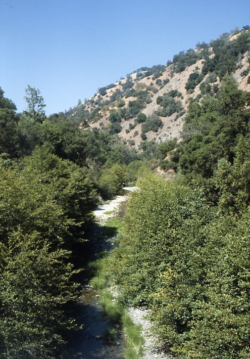 Arroyo HondoCanoeing · ~8 min drivePhoto: Robert A. Leidy PhD, US EPA, Public domain (via Wikimedia Commons)
 Black MountainSummit · ~11 min drivePhoto: Thomson200, CC0 (via Wikimedia Commons)
Best time to visit Peacock Gap Trail
Best months: Year-round. Best months have typical highs of 55–85 °F, lows of 30 °F or warmer (32 °F where the station doesn't record snow), at most one snowy day and no more than 12 wet days.
Jan
59° / 43°
10 wet
Feb
63° / 45°
11 wet
Mar
66° / 48°
10 wet
Apr
70° / 50°
6 wet
May
75° / 53°
4 wet
Jun
80° / 57°
1 wet
Jul
82° / 59°
0 wet
Aug
83° / 60°
0 wet
Sep
81° / 58°
1 wet
Oct
75° / 54°
3 wet
Nov
65° / 47°
7 wet
Dec
59° / 43°
10 wet
Typical high / low (°F) and days with rain or snow, 1991–2020. Measured at San Jose, CA, 6 mi away at 67 ft. The station sits about 700 ft lower than this place, so expect it a little cooler here. Source: NOAA NCEI U.S. Climate Normals 1991–2020.
Map and trail data © OpenStreetMap contributors
